The Angara River: A Siberian waterway transformed by Soviet-era hydroelectric ambition
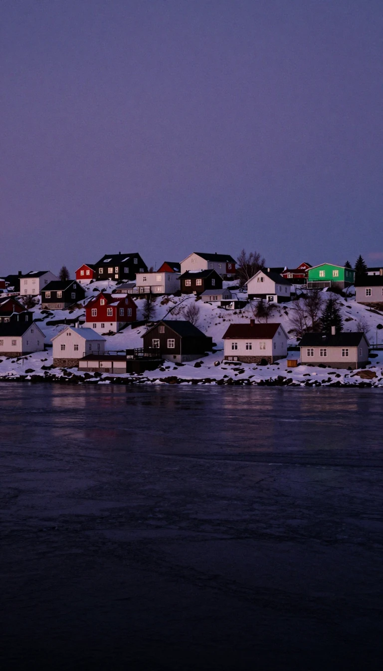
In short: Draining Lake Baikal, the 1,849-kilometre Angara River was once a vital artery for Siberian colonization. Today, it is a landscape redefined by massive dams. While these structures power the region, they have permanently altered the river’s geography, erasing historic settlements and creating barriers that prevent continuous navigation from source to mouth.
The Angara River traces a significant path through Russia's Irkutsk Oblast and Krasnoyarsk Krai. Originating from Lake Baikal near the settlement of Listvyanka, it serves as the headwater tributary for the Yenisey. Historically, the river was known by various names, including the Upper Tunguska, reflecting its complex geography. Since the 1630s, the river and its tributary, the Ilim, provided essential water routes for Russian expansion, connecting the Yenisey with Lake Baikal and the Lena until the advent of overland routes and the Trans-Siberian Railway diminished its role in transportation.
Beginning in the 1950s, the river's character was fundamentally reshaped by the construction of four major hydroelectric plants. These projects, including the Irkutsk Dam and the Ust-Ilimsk Dam, created vast reservoirs that flooded agricultural lands and historic sites, such as the fort of Ilimsk. The environmental and social costs of these developments sparked significant opposition from Soviet intellectuals. Notably, the writer Valentin Rasputin documented the loss of rural life in the Angara valley through his 1976 novel, Farewell to Matyora, and his 1991 non-fiction work, Siberia, Siberia.
Today, the river is navigable only in isolated sections. While the completion of the Boguchany Dam has improved navigation in certain areas, the river remains fragmented. None of the three existing dams feature ship locks or boat lifts, ensuring that a continuous water route from Lake Baikal to the Yenisey remains impossible. This lack of connectivity highlights the tension between the river's industrial utility and its natural flow, marking a permanent shift in how this major Siberian waterway is utilized and experienced by the modern world.
Opens the Intellect+ feed with this card first. Swipe up for the next one.
Sources
- Summary by Intellect · source: Angara
- Also: Wikidata — Angara · CC0
- Also: Wikidata — Angara · CC0
To cite this card, link to https://intellectplus.co.uk/app/places-angara.
How we source, check and correct cards: Editorial standards.
General information, not professional advice. Spotted an error? Flag the card or see corrections and complaints.
Intellect Plus is a visual educational discovery platform for exploring fascinating facts and ideas. Brain Food, Not Brain Rot. What is Intellect Plus?
Related
More in Bodies of water · More in Countries & Cities · Latest · A–Z · All topics
