The Canton of St. Gallen is a deliberate, artificial creation of Napoleon Bonaparte
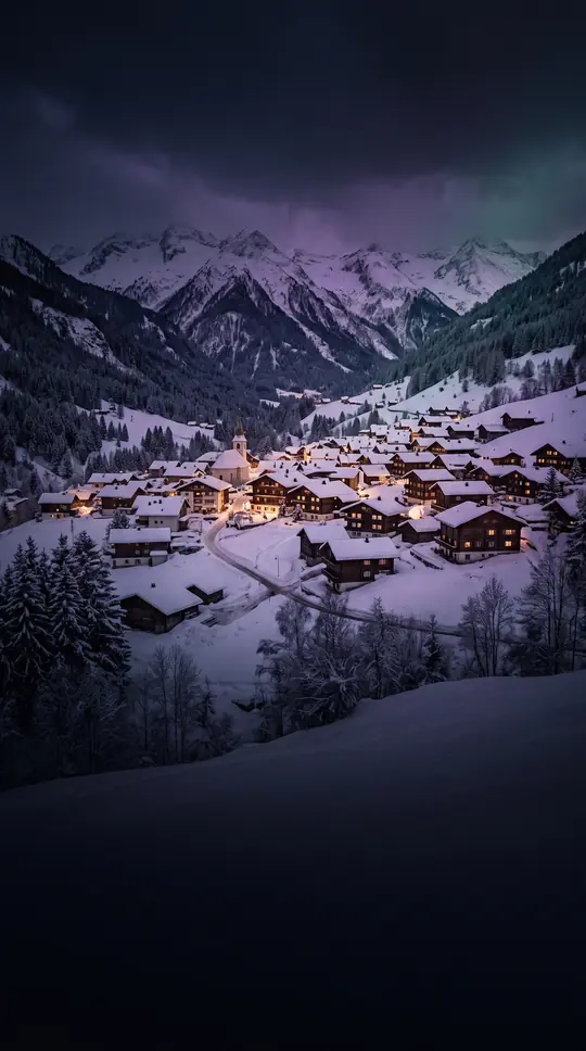
In short: Formed in 1803, the Swiss canton of St. Gallen is not a natural historical evolution but an administrative construct. By merging the city of St. Gallen, the Abbey’s vast territories, and various former subject lands, Napoleon Bonaparte created a unique, heterogeneous region that still defines northeastern Switzerland today.
The modern canton of St. Gallen emerged from the political upheaval of the Helvetic Republic. Between 1798 and 1803, the region was split into the cantons of Säntis and Linth, both of which suffered from immediate financial instability and unpopular legislation. The secularization of the Abbey of St. Gallen in 1798 and the subsequent flight of Prince-Abbot Pankraz Vorster triggered significant local unrest. When the War of the Second Coalition brought Austrian forces into the region in 1799, the Prince-Abbot was briefly restored to power, only to be driven out again by French troops. Stability finally arrived in 1803 when Napoleon Bonaparte’s Act of Mediation consolidated these disparate territories into the single Canton of St. Gallen.
This new entity was a complex mosaic of historical jurisdictions, including the free city of St. Gallen, the Abbey’s holdings—such as Toggenburg and Fürstenland—and various independent lordships like Rheintal and Werdenberg. Because the population was deeply divided between Catholic and Protestant faiths, the 1814 constitution introduced a unique system of confessional dualism. Rather than managing religion and education at the cantonal level, the government established separate Catholic and Protestant assemblies subordinate to the main legislative body, the Grosser Rat. This structure persisted until the mid-19th century, with the canton finally assuming direct authority over education in 1861.
Today, the canton is a diverse landscape ranging from the shores of Lake Constance to the peaks of the Glarus Alps, including the UNESCO-listed Swiss Tectonic Arena Sardona. It is defined by its geography, completely surrounding the two Appenzell cantons, and its modern administrative structure, which transitioned from 15 districts to eight constituencies in 2003. While its origins were artificial, the canton has evolved into a cohesive region, balancing industrial sectors like chemicals and optics with a strong tradition of dairy farming and tourism.
Opens the Intellect+ feed with this card first. Swipe up for the next one.
Sources
- Summary by Intellect · source: Canton of St. Gallen
- Also: Wikidata — Canton of St. Gallen · CC0
- Also: Wikidata — Kantonsspital St. Gallen · CC0
To cite this card, link to https://intellectplus.co.uk/app/places-canton-of-st-gallen.
How we source, check and correct cards: Editorial standards.
General information, not professional advice. Spotted an error? Flag the card or see corrections and complaints.
Intellect Plus is a visual educational discovery platform for exploring fascinating facts and ideas. Brain Food, Not Brain Rot. What is Intellect Plus?
Related
More in Regions and country subdivisions · More in Countries & Cities · Latest · A–Z · All topics
