Why Hong Kong’s 18 districts are more about administration than actual geography
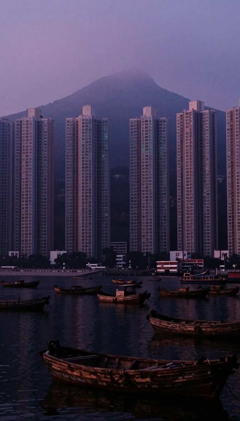
In short: Hong Kong is divided into 18 districts, yet these boundaries often hold little weight for the average resident. While district councils manage local affairs, essential services like police and healthcare operate under their own independent geographic systems, leaving the official district lines as a secondary layer of governance.
The modern district system, formalized in 1982, was designed to coordinate government services and boost public participation. However, the roots of Hong Kong’s spatial organization are far more fluid. In the 1860s, social structures—such as merchant guilds and dialect groups—dictated community life far more than any formal boundary. It was not until the 1870s, amidst rising cultural tensions, that the colonial government began prioritizing rigid territorial separation, eventually leading to discriminatory policies like the 1888 European District Reservation Ordinance.
Today, the 18 districts are grouped into three primary areas: Hong Kong Island, Kowloon, and the New Territories. Governance is handled by the Home Affairs Department through district offices, with district officers acting as the primary link between the government and local councils. These councils advise on everything from public facilities to community projects, supported by a budget that reached 205.6 million dollars in the 2003/04 financial year. Despite this structure, the boundaries are not static; they have shifted repeatedly due to land reclamation projects and administrative reallocations, such as the 1994 merger of Yau Tsim and Mong Kok.
The disconnect between official districts and daily life is stark. While a district council might focus on local environmental improvements or community cohesion, the actual delivery of public services remains fragmented. Because departments like the fire service or hospital authority define their own service zones, the 18-district map often fails to align with the practical reality of how the city functions. This administrative complexity reflects a long history of balancing centralized colonial control with the organic, often overlapping, social and economic networks that have defined the city since its inception.
Opens the Intellect+ feed with this card first. Swipe up for the next one.
Sources
- Summary by Intellect · source: Districts of Hong Kong
- Also: Wikidata — districts of Hong Kong · CC0
- Also: Wikidata — Template:Districts of Hong Kong · CC0
To cite this card, link to https://intellectplus.co.uk/app/places-districts-of-hong-kong.
How we source, check and correct cards: Editorial standards.
General information, not professional advice. Spotted an error? Flag the card or see corrections and complaints.
Intellect Plus is a visual educational discovery platform for exploring fascinating facts and ideas. Brain Food, Not Brain Rot. What is Intellect Plus?
Related
More in Cities · More in Countries & Cities · Latest · A–Z · All topics
