How a prehistoric ice dam created the largest cataclysmic floods in known history
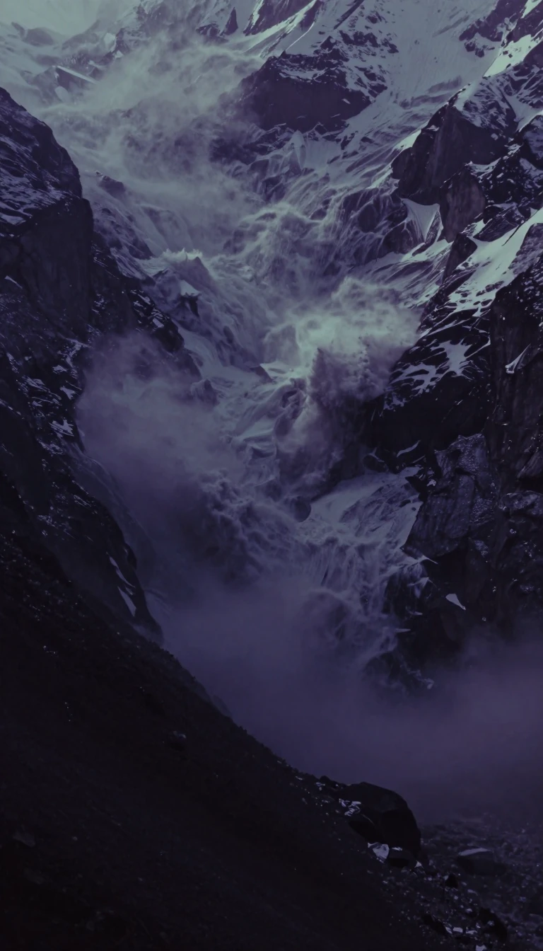
In short: Between 15,000 and 13,000 years ago, a massive ice sheet blocked Montana's Clark Fork River, forming a lake as large as Lake Erie and Lake Ontario combined. When this colossal ice dam periodically ruptured, it unleashed catastrophic torrents that carved the landscape of the American Northwest in mere moments.
At its peak, Glacial Lake Missoula held roughly 600 cubic miles of water, trapped behind a 2,000-foot-tall wall of ice from the Cordilleran ice sheet. This immense reservoir, which stretched across 3,000 square miles of western Montana, was not a permanent feature but a recurring phenomenon. As the Purcell Lobe of the ice sheet advanced, it plugged the Clark Fork River, forcing water to back up into a vast network of mountain valleys.
The failure of this ice dam triggered the Missoula Floods, a series of roughly 40 cataclysmic outbursts that surged across present-day Idaho, Washington, and Oregon. These events were so powerful they stripped away 50 cubic miles of earth, rock, and volcanic material, fundamentally reshaping the region's topography. Unlike the slow, steady erosion typical of geological history, these floods created massive canyons and features through sudden, violent force.
Evidence of this turbulent past remains visible today. Geologists point to giant sediment ripples, some reaching 50 feet in height, as proof of the immense water velocity during these drainage events. Additionally, 'rhythmites'—layered deposits of silt and sand found near Nine Mile—serve as a natural record of the lake's cycles of filling and emptying. While older Pleistocene floods likely occurred as far back as 1.5 million years ago, the repeated scouring of the landscape has left the history of these earlier events fragmentary and difficult to reconstruct with certainty.
The legacy of these floods was long contested. Early 20th-century geologists favored theories of gradual erosion, but the discovery of these massive geological scars eventually validated the work of J Harlen Bretz, who argued for a cataclysmic origin. Today, the site is recognized as a National Natural Landmark, preserving the physical markers of an era when water, ice, and gravity combined to rewrite the face of the continent.
Opens the Intellect+ feed with this card first. Swipe up for the next one.
Sources
- Summary by Intellect · source: Glacial Lake Missoula
- Also: Wikidata — Lake Missoula · CC0
- Also: Wikidata — Glacial Lake Missoula and Its Humongous Floods. By David Alt. Missoula, Mont.: Mountain, 2001. 208 pages, 58 colored maps and illustrations, 45 black‐and‐white photographs. $15.00 paper · CC0
To cite this card, link to https://intellectplus.co.uk/app/places-glacial-lake-missoula.
How we source, check and correct cards: Editorial standards.
General information, not professional advice. Spotted an error? Flag the card or see corrections and complaints.
Intellect Plus is a visual educational discovery platform for exploring fascinating facts and ideas. Brain Food, Not Brain Rot. What is Intellect Plus?
Related
More in Bodies of water · More in Countries & Cities · Latest · A–Z · All topics
