The remote Arctic islands that hold 14 percent of the world's glacial ice
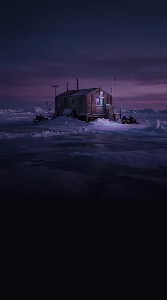
In short: Spanning over 400,000 square kilometers, the Queen Elizabeth Islands are a vast, largely uninhabited wilderness in Canada's far north. Renamed in 1953 to honor Queen Elizabeth II, this archipelago is a critical site for climate research, housing a significant portion of the planet's ice caps and glaciers.
The Queen Elizabeth Islands form the northernmost cluster of the Canadian Arctic Archipelago. Geologically, these islands rest upon the Queen Elizabeth Islands Subplate. While the region is now known for its extreme isolation, it has a complex history of exploration. Though British and Norwegian expeditions in the 19th century were responsible for fully charting the area, some evidence suggests the islands were visited by Vikings as early as 1000 CE. For over 130 years, the group was known as the Parry Archipelago, named after the British explorer Sir William Parry, who navigated the region in 1820.
Today, the islands are home to fewer than 400 permanent residents, concentrated in only two municipalities: Resolute on Cornwallis Island and Grise Fiord on Ellesmere Island. Despite the sparse population, the islands are scientifically vital. They contain approximately 14 percent of the world's total glacier and ice cap area, excluding the massive ice sheets of Greenland and Antarctica. Monitoring programs, such as those overseen by Natural Resources Canada, have tracked the rapid shrinking of these ice caps, noting that the melt rate has accelerated significantly since 2005.
The archipelago is also a site of historical and geopolitical interest. Sites like Skraeling Island have yielded artifacts from Inuit, Dorset, Thule, and Norse cultures, while Hans Island was the subject of a long-standing ownership dispute between Canada and Denmark until 2022. Furthermore, the region has been described as a perpetual frontier for petroleum exploration, though commercial production ceased in the 1970s. Administratively, the islands are split between Nunavut and the Northwest Territories, a division established in 1999 that reflects the complex mapping of this frozen, rugged landscape.
Opens the Intellect+ feed with this card first. Swipe up for the next one.
Sources
- Summary by Intellect · source: Queen Elizabeth Islands
- Also: Queen Elizabeth Islands | Map, History, & Facts | Britannica
- Also: Wikidata — Queen Elizabeth Islands · CC0
- Also: Wikidata — Queen Elizabeth Islands Subplate · CC0
To cite this card, link to https://intellectplus.co.uk/app/places-queen-elizabeth-islands.
How we source, check and correct cards: Editorial standards.
General information, not professional advice. Spotted an error? Flag the card or see corrections and complaints.
Intellect Plus is a visual educational discovery platform for exploring fascinating facts and ideas. Brain Food, Not Brain Rot. What is Intellect Plus?
Related
More in Islands · More in Countries & Cities · Latest · A–Z · All topics
