Tawi-Tawi: The Volcanic Heart of the Sulu Archipelago’s Hidden Maritime Frontier
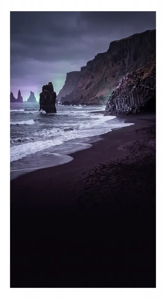
In short: Tawi-Tawi Island sits at the crossroads of the Sulu and Celebes Seas, just 64 kilometres from Borneo. As the largest island in its namesake province, this volcanic landmass is a rugged, heavily wooded landscape defined by its irregular shape, white sandy beaches, and a unique cultural identity rooted in Sama-Bajaw traditions.
Located in the southern Philippines, Tawi-Tawi Island serves as the primary landmass for the Tawi-Tawi Province. Spanning 580.5 square kilometres, it ranks as the 21st-largest island in the Philippine archipelago and the third-largest within the Sulu chain, trailing only Basilan and Jolo. The island’s geography is distinctly volcanic, resulting in a hilly, irregular terrain that stretches approximately 55 kilometres in length. Its width varies significantly, ranging from 10 to 23 kilometres, while its shoreline extends for 152.2 kilometres, featuring a mix of rocky coasts and pristine white sand.
The island’s topography reaches a maximum elevation of 549 metres, creating a dense, wooded interior that contrasts with its maritime surroundings. Administratively, the island is partitioned into four distinct municipalities: Bongao, Languyan, Panglima Sugala, and Tandubas. These local divisions help manage the island’s significant role within the province, as Tawi-Tawi Island itself accounts for more than half of the total land area of the entire Tawi-Tawi Province, which covers 1,087.40 square kilometres.
Beyond its physical dimensions, the island is a cultural hub for the Sama people. The population is predominantly of Muslim conviction and primarily speaks Sama-Bajaw languages. This demographic profile highlights the island's historical and social connection to the broader maritime cultures of the region. Positioned strategically between the Sulu Sea and the Celebes Sea, the island remains a vital point of interest for understanding the complex geography and human history of the southern Philippines, serving as a bridge between the archipelago and the nearby landmass of Borneo.
Opens the Intellect+ feed with this card first. Swipe up for the next one.
Sources
- Summary by Intellect · source: Tawi-Tawi Island
- Also: Wikidata — Tawi-Tawi Island · CC0
- Also: Wikidata — Tawi-Tawi Island · CC0
To cite this card, link to https://intellectplus.co.uk/app/places-tawi-tawi-island.
How we source, check and correct cards: Editorial standards.
General information, not professional advice. Spotted an error? Flag the card or see corrections and complaints.
Intellect Plus is a visual educational discovery platform for exploring fascinating facts and ideas. Brain Food, Not Brain Rot. What is Intellect Plus?
Related
More in Islands · More in Countries & Cities · Latest · A–Z · All topics
