How lidar maps the world in 3D
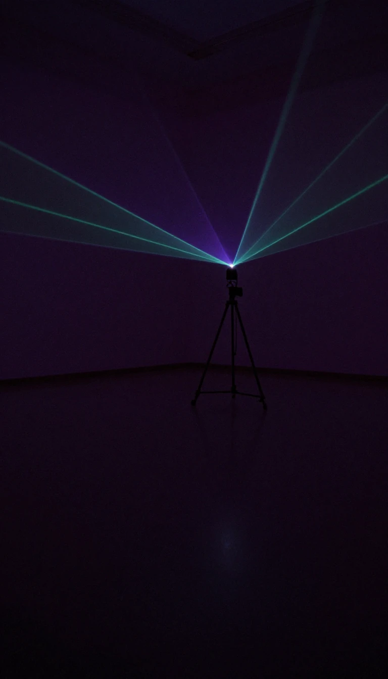
In short: A lidar times laser pulses to a surface and back, and many ranges together give three-dimensional information.
1. The lidar fires a short pulse of laser light at a surface. 2. The surface reflects the light, and a sensor records the reflected light. 3. The time for the reflected light to return is measured. 4. Half the round-trip time multiplied by the speed of light gives the distance. 5. Many light pulses together give precise three-dimensional information about shapes and surfaces.
Sources: NOAA, “What is lidar?” (Public domain (US Government work)); Wikipedia, “Lidar (Wikipedia)” (CC BY-SA 4.0); Wikipedia, “Time of flight (Wikipedia)” (CC BY-SA 4.0). Illustrative, not to scale.
Opens the Intellect+ feed with this card first. Swipe up for the next one.
Sources
- Source: NOAA: What is lidar? · Public domain (US Government work)
- Also: Lidar
- Also: Wikipedia: Time of flight (Wikipedia) · CC BY-SA 4.0
To cite this card, link to https://intellectplus.co.uk/app/studio-how-lidar-maps-the-world-in-3d.
How we source, check and correct cards: Editorial standards.
General information, not professional advice. Spotted an error? Flag the card or see corrections and complaints.
Intellect Plus is a visual educational discovery platform for exploring fascinating facts and ideas. Brain Food, Not Brain Rot. What is Intellect Plus?
