How total stations turn invisible coordinates into the physical world of modern construction
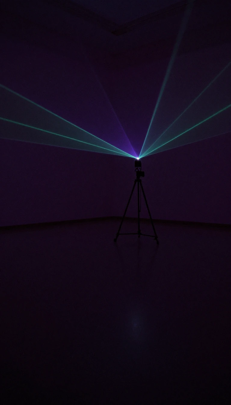
In short: A total station is the surveyor's primary tool for bridging the gap between digital blueprints and physical reality. By combining precise angle measurement with distance-sensing lasers, these devices allow engineers to map terrain, track weather balloons, or ensure every pipe in a skyscraper aligns perfectly with its virtual model.
At its core, a total station functions as a sophisticated integration of an electronic transit theodolite and a distance-measuring laser. The device captures horizontal and vertical angles by scanning precise digital bar-codes etched onto internal glass components. Meanwhile, an infrared signal measures distance by calculating the number of wavelengths reflected back from a target prism. This data allows the instrument to determine the exact three-dimensional position of any point within its line of sight.
The utility of these instruments extends far beyond simple land surveying. In commercial construction, they are essential for translating building information modeling data into tangible layouts, ensuring that conduits and structural supports are placed with millimeter precision. This digital-to-physical workflow significantly reduces labor costs and prevents the costly errors associated with manual measurement in complex, active construction environments. Beyond building sites, they are used by police for accident reconstruction, archaeologists for mapping delicate sites, and meteorologists to track weather balloons for wind data.
For absolute positioning, the device can be set up over a known coordinate or use a technique called free stationing, which requires line-of-sight to at least two known points. While some models now incorporate satellite navigation receivers to bypass the need for direct sightlines, these often struggle with vertical accuracy. To maintain precision, operators frequently use a set collection method, recording measurements in both direct and reversed scope modes to average out mechanical errors. Whether in deep mining tunnels or high-rise developments, the total station remains the gold standard for spatial accuracy.
Opens the Intellect+ feed with this card first. Swipe up for the next one.
Sources
- Summary by Intellect · source: Total station
To cite this card, link to https://intellectplus.co.uk/app/technology-total-station.
How we source, check and correct cards: Editorial standards.
General information, not professional advice. Spotted an error? Flag the card or see corrections and complaints.
Intellect Plus is a visual educational discovery platform for exploring fascinating facts and ideas. Brain Food, Not Brain Rot. What is Intellect Plus?
Related
More in Machinery and tools · More in Technology · Latest · A–Z · All topics
