 Intellect Plus
Physical geography
1,174 cards. Each one is a 40-second story with a five-minute read behind it. Page 14 of 20.
 Malaria kept the Terai wild until DDT opened it to settlersAt the foot of the Himalayas lies a belt of marshy lowland, tall grass and sal forest called the Terai. For centuries its fevers and predators kept most outsiders away, leaving it…
 The Mediterranean, Black Sea and Caspian are leftovers of one vanished oceanLong before the Alps and Himalayas rose, an ocean called the Tethys lay between the great southern and northern landmasses. As Africa, India and Arabia drifted north and slammed i…
 Harry Potter made it possible to film Narnia in wartime BritainWhen a Narnia film was being developed at Paramount, the studio wanted it moved to America. Producers later credited Harry Potter with breaking down those cultural lines, and the …
 Dreamtime may be a mistranslation that came back as everyday EnglishThe word Dreamtime was coined by two early anthropologists in Central Australia in the 1890s to render an Arrernte term. Critics soon argued it distorted the idea, which is less a…
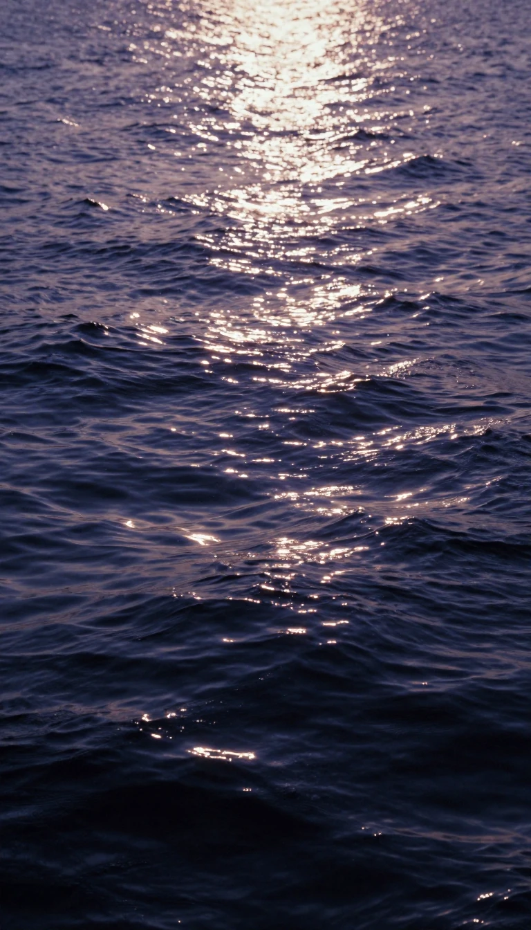 Tidal bores send a wall of seawater racing upriver against the currentOn China's Qiantang River the incoming tide arrives as a wave up to 9 metres tall, charging upstream at around 40 kilometres an hour. It is the world's largest tidal bore, a rare …
 The spotted tiger quoll packs one of the strongest bites for its sizeA male tiger quoll weighs about as much as a house cat's smaller cousin, around 3.5 kilograms, yet relative to its size it has the second most powerful bite of any living mammalia…
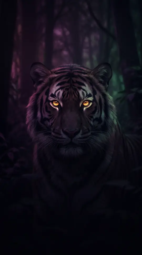 India's tiger reserves helped wild tiger numbers more than double since 2006In 2006 India counted just 1,411 wild tigers, the lowest figure ever recorded. By 2022 the census found 3,682, roughly 70 percent of all the wild tigers on Earth. Much of that rec…
 Time's Person of the Year began as a fix for a missed coverIn 1927 Time embarrassed itself by failing to put Charles Lindbergh on its cover after his transatlantic flight. Facing slow news days before New Year, the editors found a way to …
 Tippu Tip, the slave trader European explorers relied on in Central AfricaHenry Morton Stanley and David Livingstone both depended on help from Tippu Tip, the most notorious ivory and slave trader in nineteenth-century Africa. In 1887 Stanley even arran…
 Thoothukudi, India's Pearl City, has traded by sea for two thousand yearsPearl divers off Korkai, near modern Thoothukudi, were famous enough to appear in Ptolemy's geography, which described trade linking India with Roman Alexandria. Two millennia lat…
- The Tasmanian tiger looked like a dog but carried a pouchThe last known thylacine died at Hobart Zoo on 7 September 1936. Striped like a tiger and shaped like a wolf, it was actually a marsupial, and both males and females had pouches. …
 Transoxiana: the land beyond the Oxus that every empire wantedBetween two great Central Asian rivers lies a stretch of dry but fertile plain that Persians, Greeks, Arabs, Chinese and Mongols all fought to hold. Its Latin name means simply th…
 The Steelers traded up eleven places to grab Troy PolamaluIn the 2003 draft, San Diego needed a safety, held the 15th pick and passed on Troy Polamalu. Pittsburgh jumped from 27th to 16th to take him. He spent all twelve of his professio…
 How a string of truces with Britain became the United Arab EmiratesThe sheikhdoms along the southern Gulf coast got their old name from a series of truces signed with Britain in the 19th century. For about 150 years they sat under an ambiguous Br…
 Topographic maps were born as military tools for planning battlesThose wavy contour lines joining points of equal height began as military intelligence: armies needed to know the lie of the land for battles and defences, which is why Britain's …
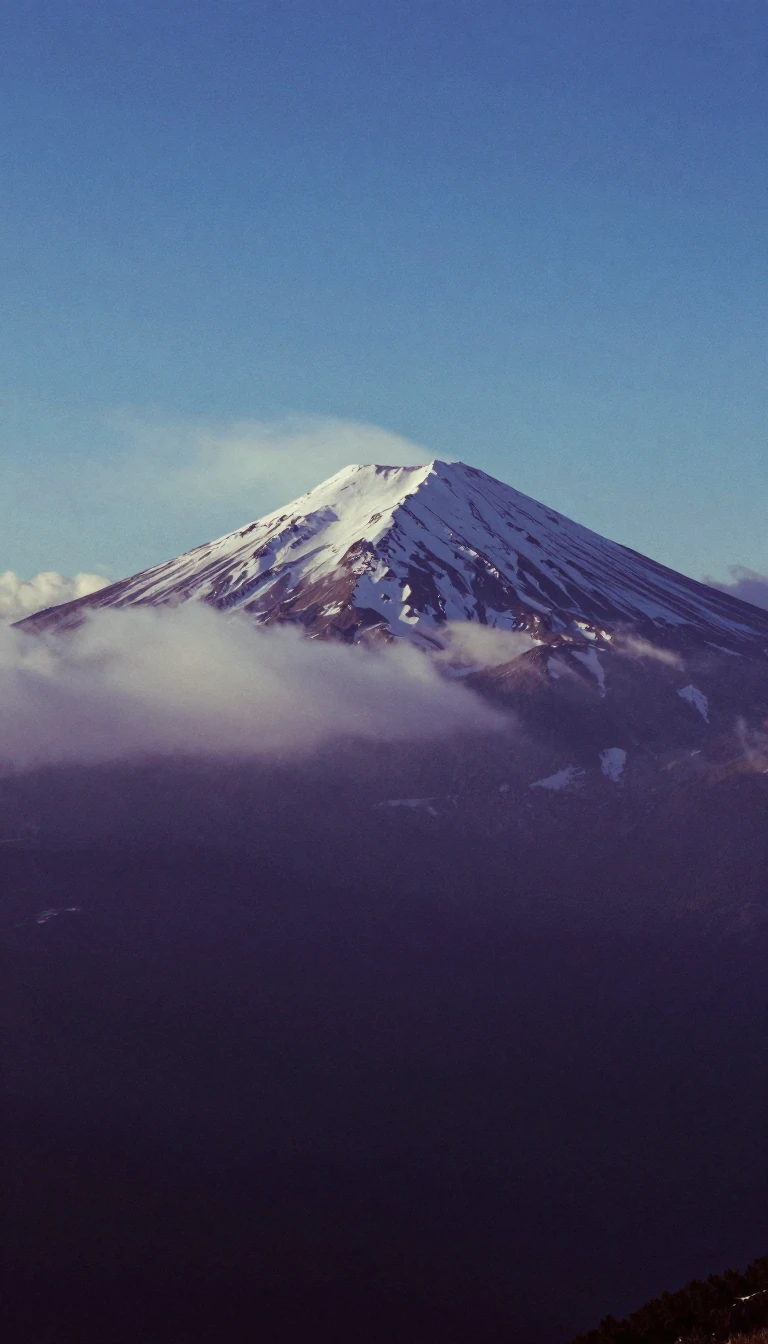 Why Everest's South Summit, taller than K2, isn't a mountainEverest's South Summit stands higher than K2, the world's second-highest mountain, yet nobody counts it as a separate peak. The reason is prominence: how far you must descend from…
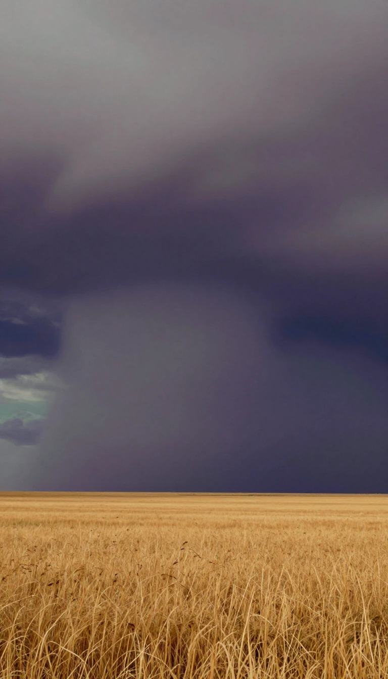 Tornado Alley has no official borders, and it may be moving eastTornado Alley sounds like a place you could find on a map, yet the National Weather Service has never drawn its edges. The nickname began as the title of a 1952 Air Force research…
 Toruń, Copernicus's birthplace, where citizens took their castle apart brick by brickIn 1454 the people of Toruń, fed up with the Teutonic Knights, stormed the Order's castle and dismantled its walls brick by brick, sparing only one tower, later used to hold gunpo…
 Toto was a band of session players who already played on everythingBefore Toto had a name, its members were the hired hands behind records by Steely Dan, Boz Scaggs and Sonny & Cher. So when bassist David Hungate pointed out that the Latin phrase…
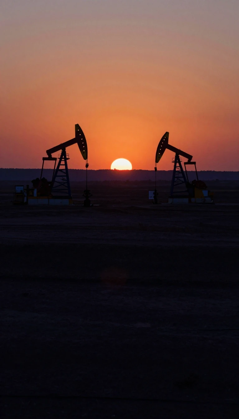 The Alaska pipeline must keep oil moving or it could freeze solidAn 800-mile steel pipe carries crude from Prudhoe Bay on the Arctic coast to the port of Valdez. It was built to deliver more than 2 million barrels a day, but now runs at around …
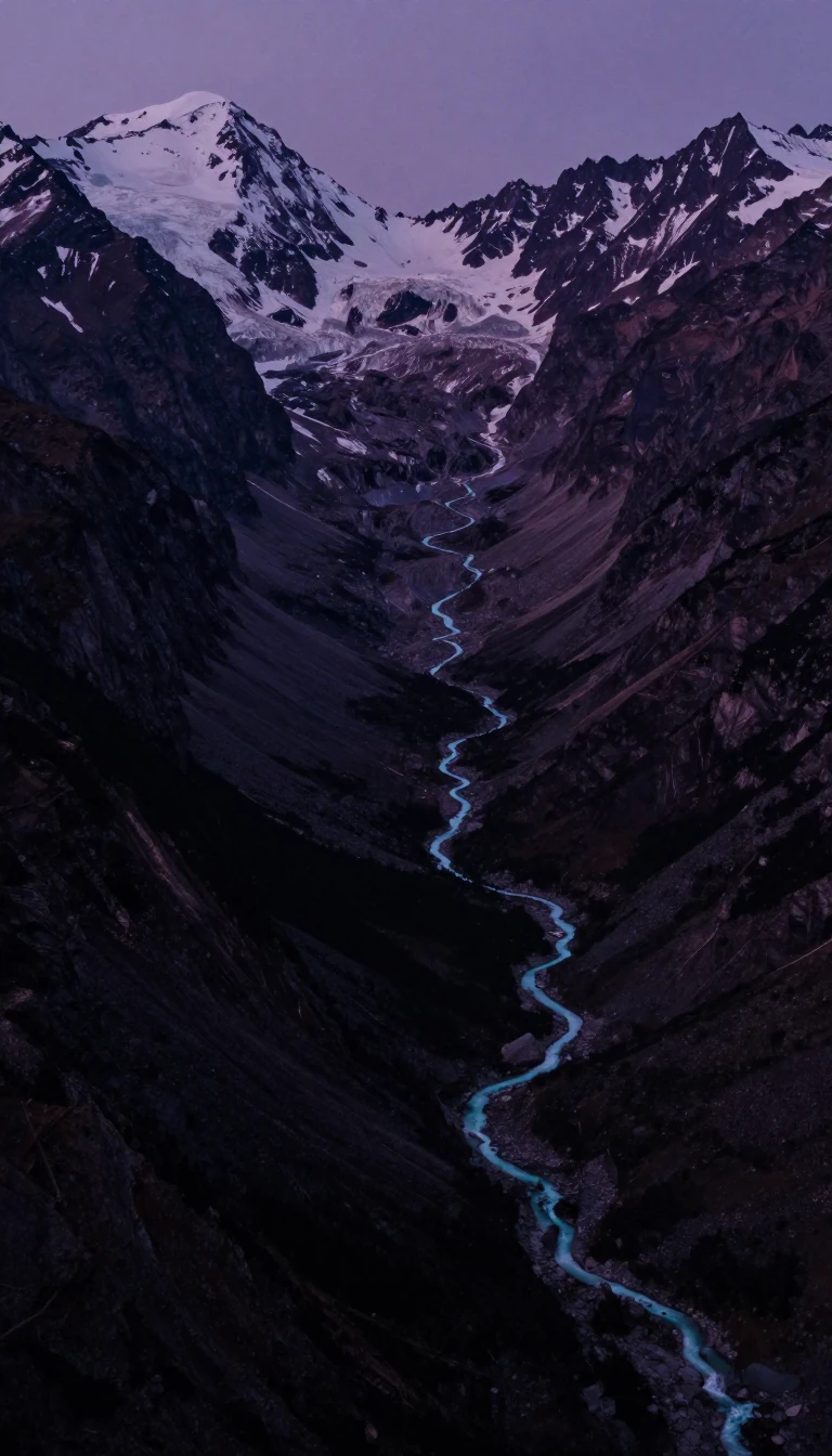 The Kosi, a river older than the Himalayas that keeps jumping its banksThe Kosi flowed before the Himalayas rose, and it has cut its gorge deeper as the mountains lifted around it. Downstream it drags so much silt onto the plains of Bihar that it aba…
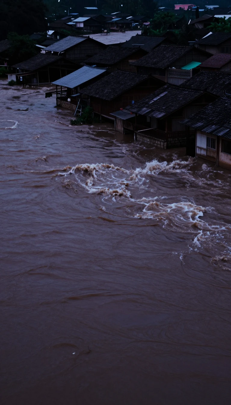 China’s Long River runs 6,236 kilometres to the seaThe Yangtze—Chang Jiang, the Long River—is China’s longest and the world’s third-longest, rising at Jari Hill on the Tibetan Plateau’s Tanggula range. It empties into the East Chi…
- Loess turned China’s mother river dangerously yellowThe Yellow River, or Huang He, stretches about 5,464 kilometres—China’s second-longest, the world’s sixth—with a basin near 795,000 square kilometres. Fine loess mud dyed it yello…
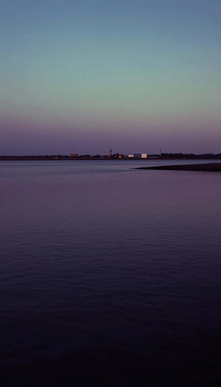 River silt paints a whole sea golden-yellowBetween China and Korea, the Yellow Sea—also called the North Sea in some local usage—is a shallow Western Pacific margin tinted by golden silt from great rivers. Excluding the Bo…
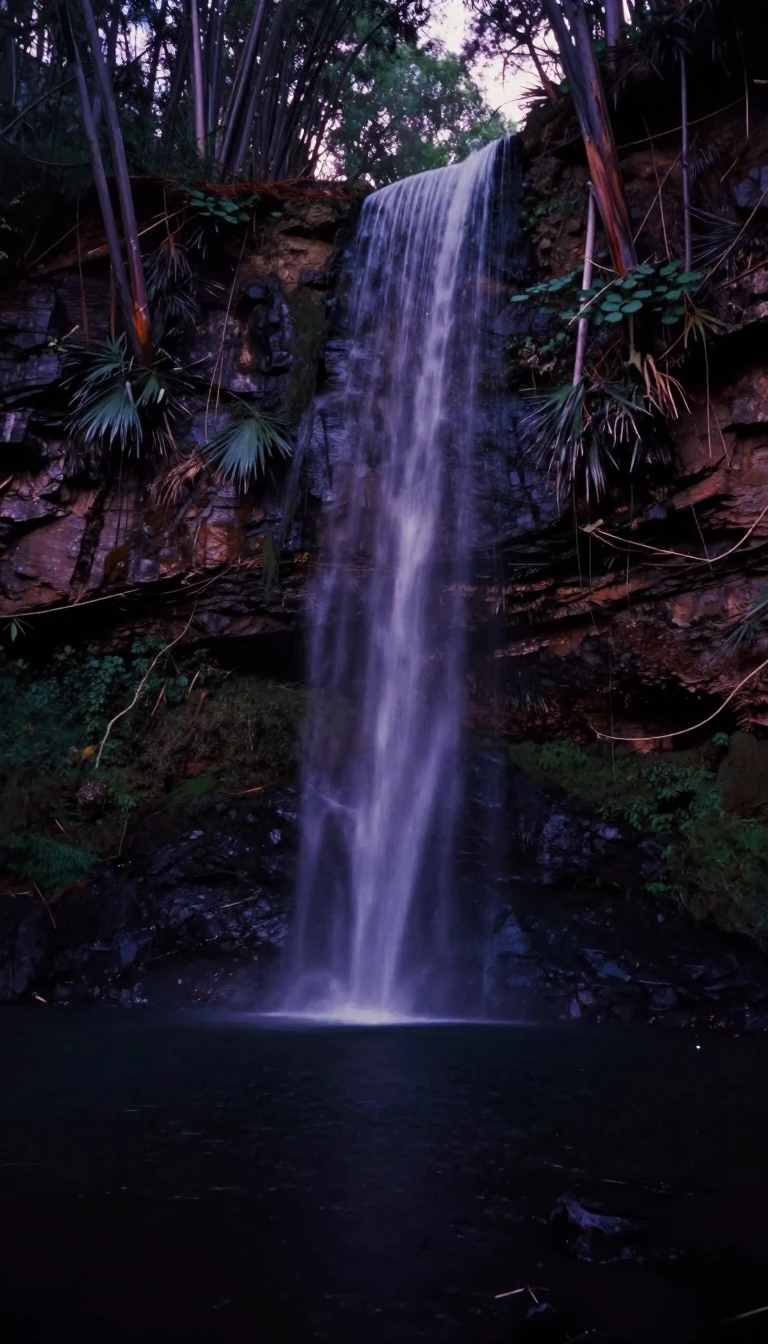 America’s first national park sits on a supervolcanoYellowstone spans 3,468 square miles across Wyoming, Montana, and Idaho—famous for Old Faithful and wildlife. Signed into law by President Grant on 1 March 1872, it also cradles Y…
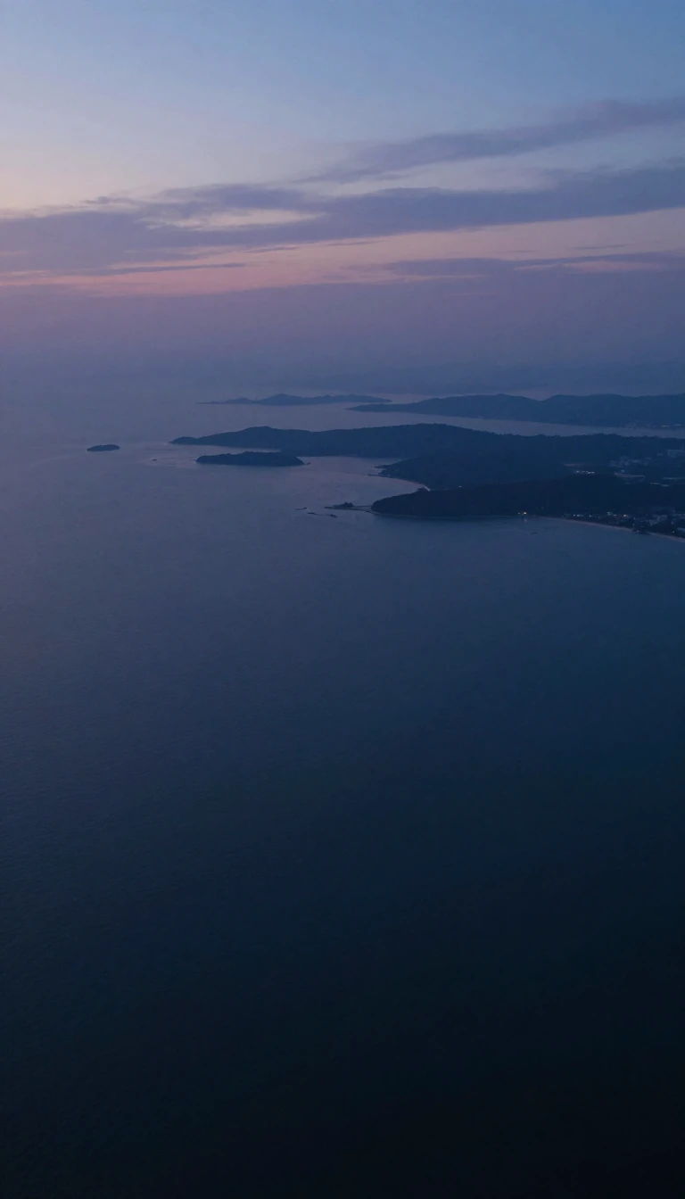 Siberia's Yenisei was written down as 'Kem' in 7th-century Chinese annalsThe Yenisei is the biggest river system emptying into the Arctic Ocean, splitting the West Siberian Plain from the Central Siberian Plateau. Tang dynasty scribes recorded it more …
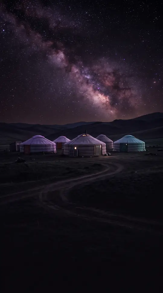 Yosemite does not mean grizzly bear; it meant 'they are killers'Yosemite's name is often said to mean grizzly bear, a mistake popularised by the man who named the valley. In Miwok the word meant roughly 'they are killers', a label for the Ahwa…
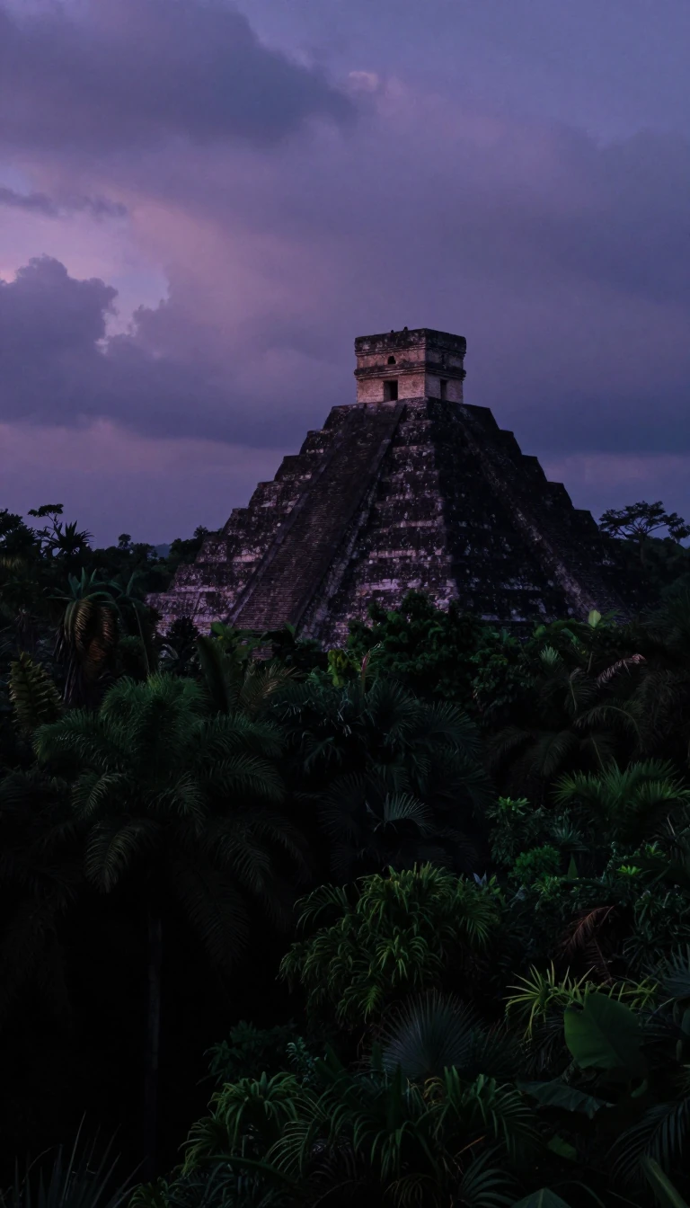 A ring of sinkholes in Yucatán traces the asteroid that ended the dinosaursAcross the flat limestone of Mexico's Yucatán Peninsula, a semicircle of cenotes marks a shock wave from the Chicxulub impact 66 million years ago. The land above that buried crat…
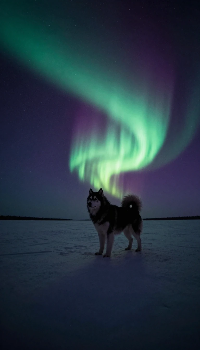 Yukon Chinook salmon swim up to 2,000 miles without eating a biteChinook salmon entering the Yukon in early June face one of the longest runs on Earth, up to 2,000 miles upstream, living off stored fat the whole way. That is why their meat is s…
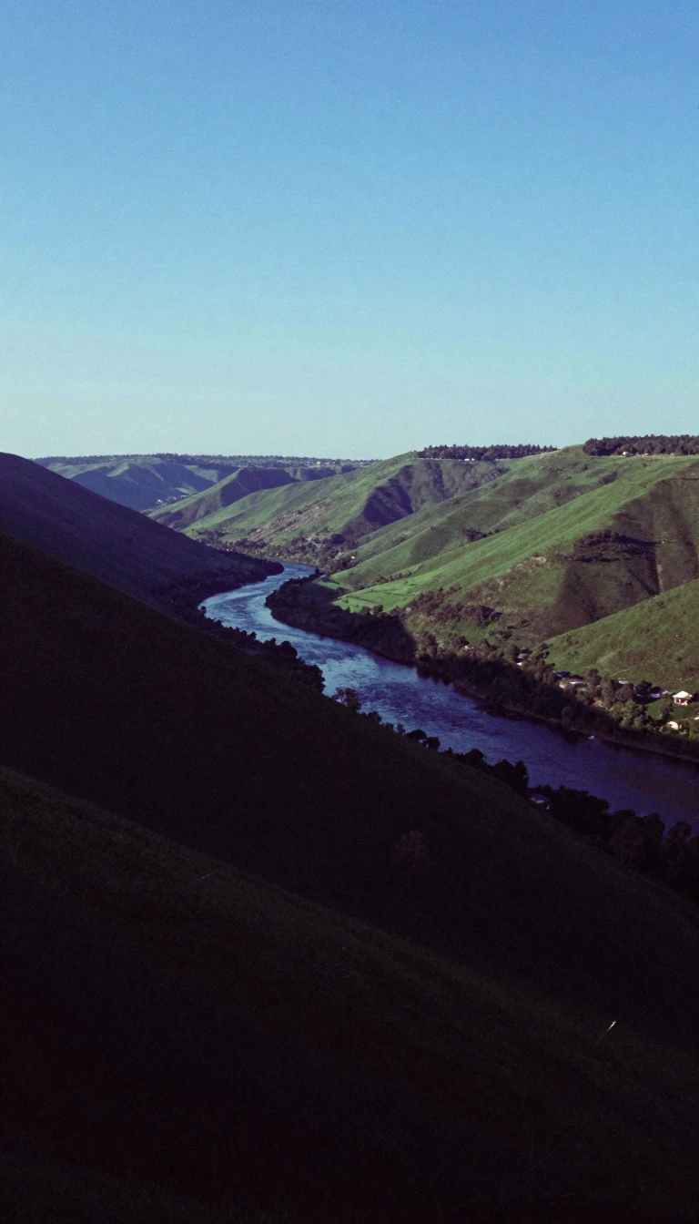 China's rugged Yungui Plateau hosts the highest bridge in the worldIn southwest China, the Yunnan–Guizhou Plateau is a maze of karst peaks and gorges so hard to cross that engineers have thrown the world's highest bridge over it. It splits Asia's…
 Arabia still crumples Iran into the Zagros foldsThe Zagros Mountains run about 1,600 kilometres across western Iran, southeastern Turkey, and northern Iraq. Miocene collision between the Arabian and Eurasian plates folded Paleo…
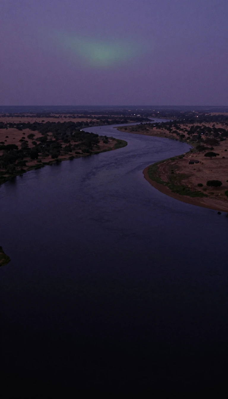 A Zambian king moves house every flood season, and the Zambezi throws a festivalThe Zambezi, Africa's longest east-flowing river, swells each rainy season until its Barotse floodplain spreads 25 km wide. The Lozi king then leaves his lowland compound for high…
 Zanzibar's stone houses were a homegrown African invention, not an Arab importZanzibar's merchant houses of coral and lime are often credited to Arab or Persian settlers. Historians including Mark Horton argue they grew entirely out of local building tradit…
 Denmark’s biggest island holds two-fifths of its peopleZealand covers 7,031 square kilometres—the largest island in Denmark proper—and held about 2.32 million residents on 1 January 2020, some forty percent of the nation. Bridges tie …
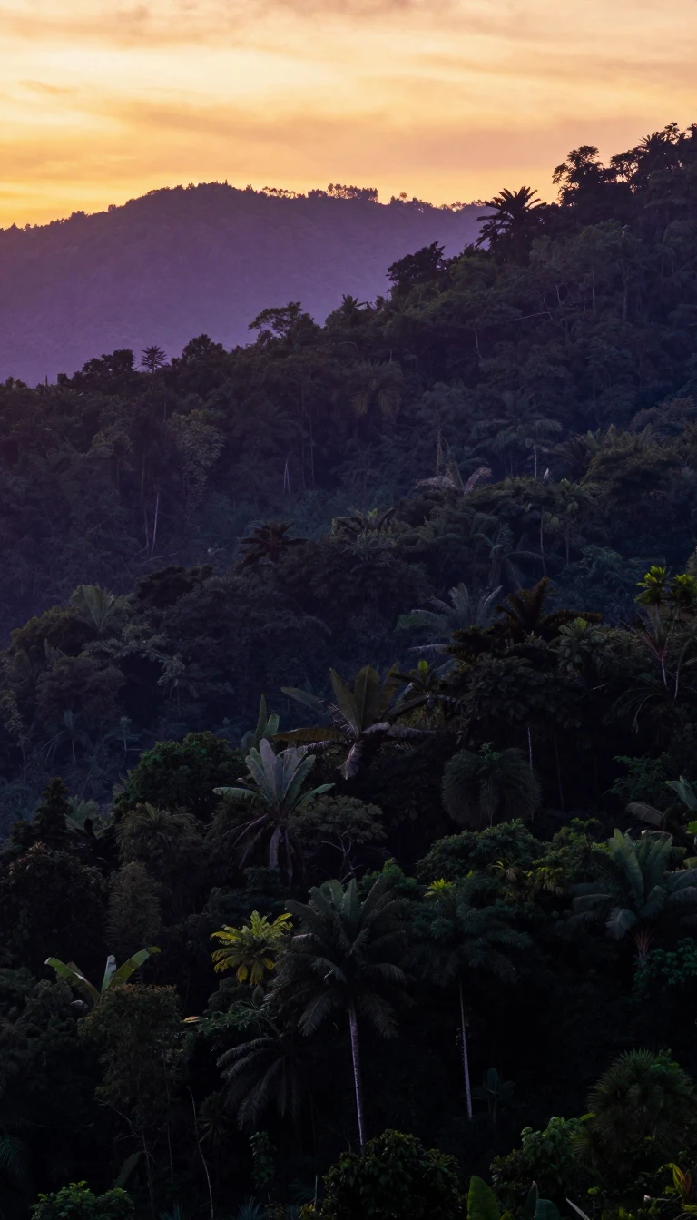 Timor's name simply means east, marking where the Lesser Sundas endTimor takes its name from Malay timur, east, because it caps the eastern end of the Lesser Sunda Islands, under 500 km from Australia. Prized for sandalwood since the 13th century…
 Timorese call the Timor Sea the male sea for its rough wavesIn Tetum the Timor Sea is tasi mane, the male sea, while the calmer, clearer strait off Timor's north coast is tasi feto, the female sea. Beneath the rougher water lie big oil and…
 Mites and springtails are the top predators of Antarctica's great rangeThe Transantarctic Mountains run about 3,500 km across the whole continent, dividing East from West Antarctica. On their rare ice-free ground, nematode worms graze on cyanobacteri…
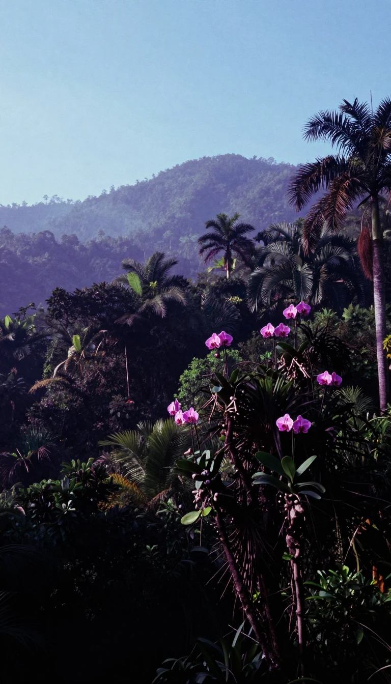 Brazil's Tumucumaque park protects more rainforest than all of BelgiumCovering more than 38,800 km² of Amazon forest, Tumucumaque Mountains National Park is the largest tropical forest national park in the world. Joined with French Guiana's neighbou…
- The Congo's biggest right-bank tributary may once have fed Lake ChadThe Ubangi runs about 1,060 km through Central Africa, marking borders between three countries on its way to the Congo. Geologists think its upper reaches once drained north towar…
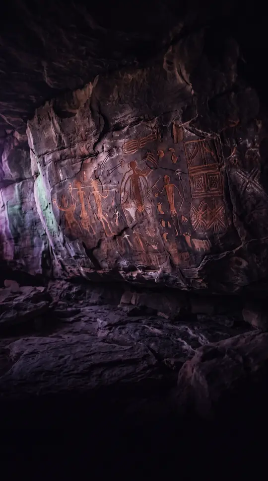 Most of Uluru’s sandstone bulk hides undergroundNear Australia’s centre, a sandstone monolith rises 348 metres yet keeps most of its mass buried. Sacred to Pitjantjatjara Aṉangu, dual-named Uluru / Ayers Rock, it flushes red at…
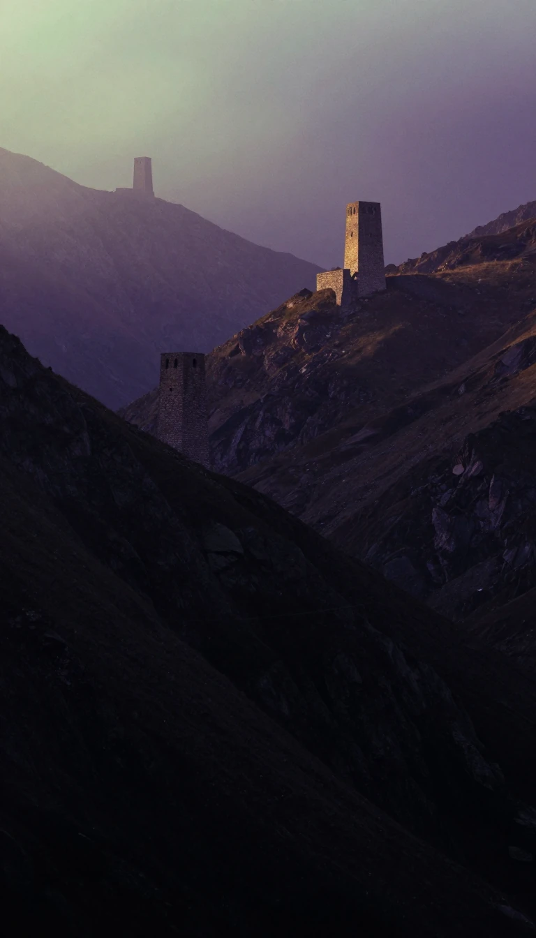 Russia’s stone belt drew the line between Europe and AsiaFrom the Arctic coast down toward the Caspian, the Urals run mostly through Russia as a long north–south spine. Geographers still use them as part of the conventional Europe–Asia …
 Europe and Asia meet along a sturgeon riverThe Ural—once called the Yaik—runs from the southern Urals through Russia and Kazakhstan into the Caspian Sea. Most authorities treat its entire length as the Europe–Asia boundary…
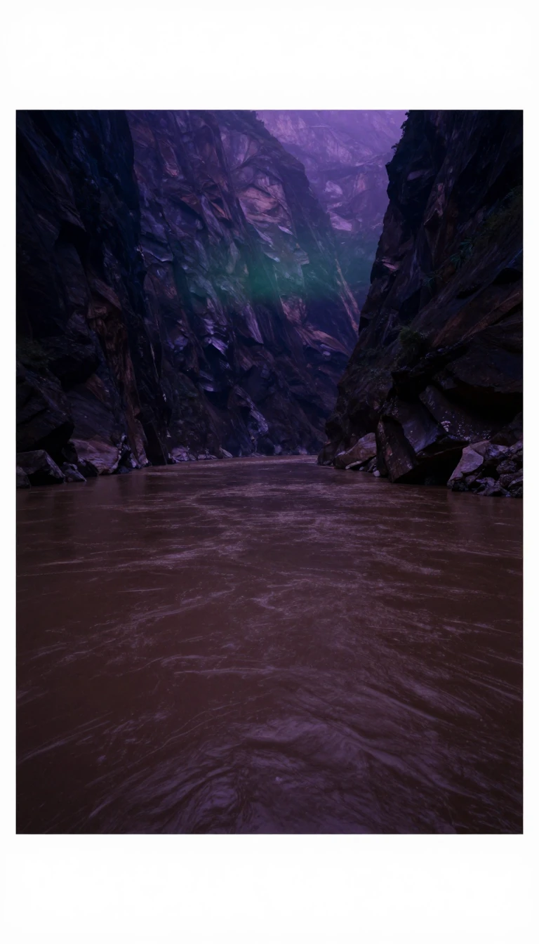 A drowned Ice Age canyon hides under the UruguaySouth America’s Uruguay River runs about 1,838 kilometres from Brazil’s Serra do Mar to the Río de la Plata, drawing borders with Argentina and Uruguay. Beneath today’s channel li…
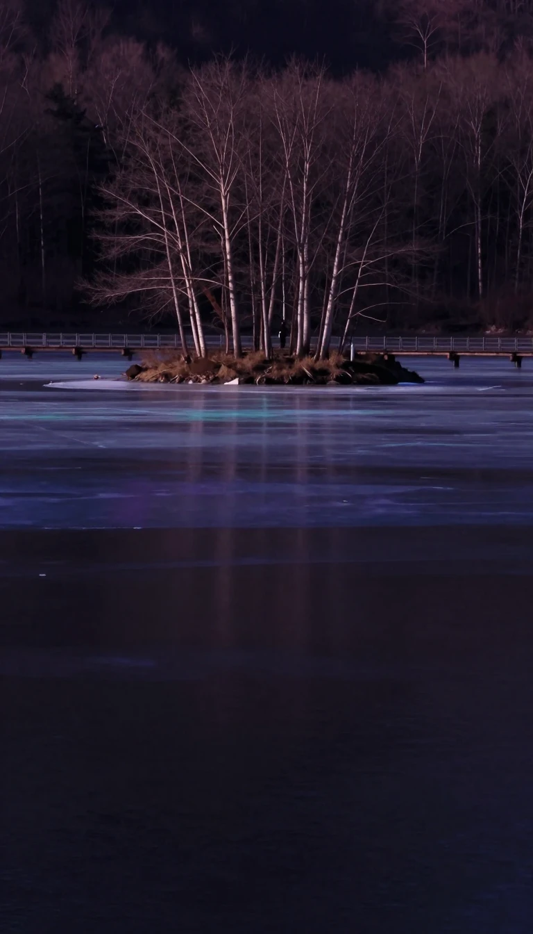 Europe’s third-largest lake drains west to the seaVänern blankets 5,655 square kilometres of Sweden—largest lake in the country and the European Union, third in Europe after Ladoga and Onega. Alone among Sweden’s top ten lakes it…
- The Zambezi falls as the world’s widest water sheetOn the Zambia–Zimbabwe border the Zambezi tips into a basalt fracture 1,708 metres across and 108 metres down—the largest curtain of falling water on Earth by combined width and h…
- Antarctica's highest mountain went unseen by anyone until a 1958 flightMount Vinson, at 4,892 metres the top of Antarctica, was only suspected until US Navy aircraft spotted it in January 1958. Its first measured height overshot by nearly 250 metres,…
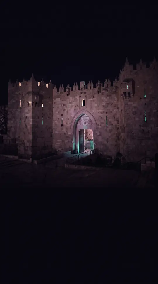 Nobody knows where the name Visayas comes from, despite many colourful theoriesThe Visayas, the middle third of the Philippines, may have been named in Chinese records as early as the 12th century, when islanders raided Fujian with roped iron javelins. Spani…
- Poland’s national river named a whole ice ageAt 1,047 kilometres the Vistula is Poland’s longest river and the longest draining to the Baltic. It threads Kraków and Warsaw, and geologists borrowed its German name Weichsel fo…
- Europe’s longest river never reaches the open oceanThe Volga runs 3,531 kilometres through Russia into the Caspian Sea—the longest river in Europe and the longest endorheic river on Earth. Five of Russia’s ten largest cities, incl…
- Shackleton’s graveyard sea still makes deep ocean waterThe Weddell Sea, a Southern Ocean embayment between Coats Land and the Antarctic Peninsula, spans roughly 2.8 million square kilometres. Sailors long called it treacherous; it als…
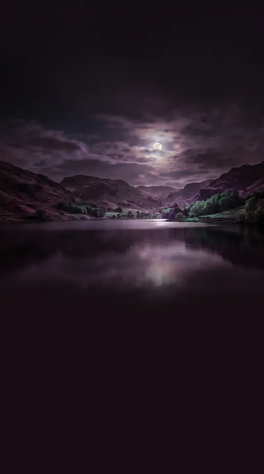 Hangzhou’s West Lake was engineered out of a bayWest Lake covers only 6.39 square kilometres west of Hangzhou’s old walls, yet Tang and Song poets made it a national template for beauty. Dredging kept a former shallow bay from …
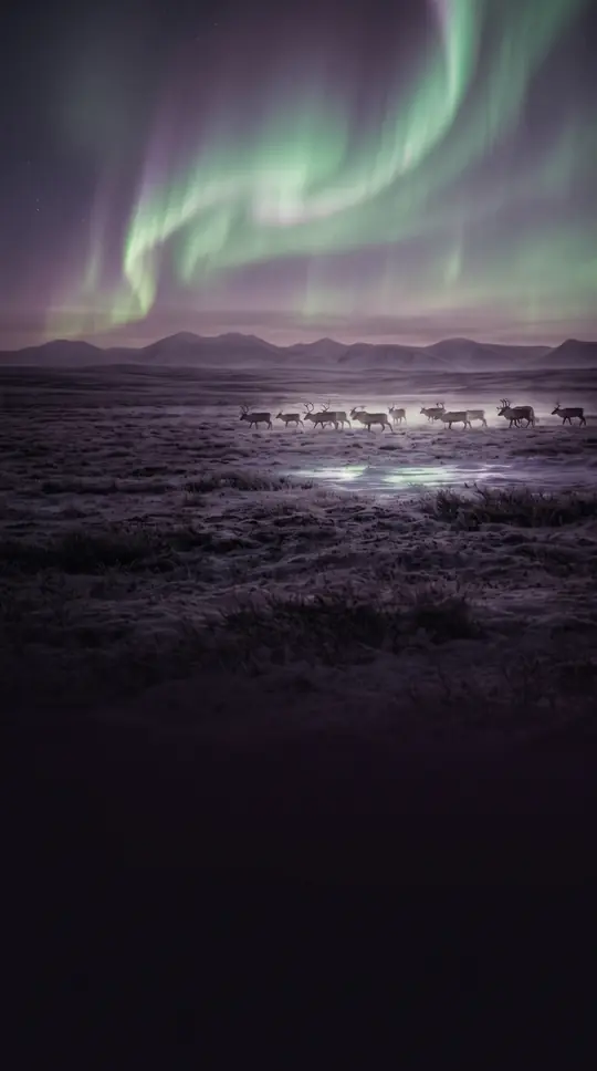 Fifty metres of sea would drown West Siberia’s heartBetween the Urals and the Yenisei lies the West Siberian Plain—often called Earth’s largest unbroken lowland. So flat are its Cenozoic sediments that a fifty-metre sea-level rise …
 India’s western wall wrings monsoon rain from the seaThe Western Ghats, or Sahyadri, run about 1,600 kilometres along India’s Arabian Sea coast, covering some 160,000 square kilometres. Averaging around 1,200 metres high, they force…
- The White Nile changes its name five times before it even becomes itselfThe White Nile is the longer but weaker of the Nile's two great branches, named for the pale clay clouding its water. Leaving Lake Victoria it is called the Victoria, Kyoga, Alber…
 Russia’s colour-named sea freezes half the yearThe White Sea is a Barents inlet on northwest Russia, ringed by Karelia, the Kola Peninsula, and Kanin. Arkhangelsk made it the country’s historic oceanic door for Pomor traders; …
 Nubian temples rescued from a dam created UNESCO’s listUNESCO World Heritage Sites are places a global treaty flags for outstanding cultural or natural value. The idea accelerated after Egypt’s Aswan High Dam threatened Nubian monumen…
 A 22 km stretch through Delhi causes most of the Yamuna's pollutionThe Yamuna, a goddess to Hindus and the water supply for some 57 million people, runs clean for hundreds of kilometres from its Himalayan glacier. Then it reaches Delhi, where a 2…
 Yemen’s alien island keeps a third of its plants found nowhere elseSocotra sits between the Gulf of Aden and the Arabian Sea, a Yemeni island geologically tied to Africa’s Somali plate. Roughly a third of its plants grow nowhere else on Earth, an…
 New Zealand’s larger island holds just a quarter of the peopleTe Waipounamu—the South Island—covers 150,437 square kilometres, the world’s twelfth-largest island and 56% of New Zealand’s land. Yet only about 1.26 million people live there, r…
- New Zealand’s spine holds seventeen peaks above three thousand metresThe Southern Alps stretch about 500 kilometres along New Zealand’s South Island. Aoraki / Mount Cook tops the chain at 3,724 metres, and sixteen other summits clear 3,000 metres—a…