 Intellect Plus
Maps & cartography
24 cards. Each one is a 40-second story with a five-minute read behind it.
 Maps are not just records of land, but mirrors of perceptionA map tells you where things are, but a deep map reveals how people once saw the world. By layering centuries of estate archives and historical charts into a single digital interf…
 The world's largest river remains a cartographic mysteryDespite four centuries of expeditions, satellites, and GPS technology, scientists still cannot agree on where the Amazon River actually begins. Despite its status as a waterway po…
 What if 1970s avant-garde filmmakers had access to modern GPS data?Imagine the radical, experimental spirit of 20th-century structural film merged with the raw power of modern geospatial software. San Francisco artist Eric Theise is asking this e…
 The shifting lines of power: how empires redrew the world mapExplore the evolution of global borders through a journey of thousands of years. This documentary traces how human ambition, conflict, and exploration have physically reshaped the…
 Did an ancient map depict an ice-free Antarctica 12,000 years ago?This documentary investigates the Piri Reis Map of 1513, a document that purportedly shows Antarctica without its modern ice cover. It explores whether this suggests a lost civili…
 The visual language of geography: crafting cinematic maps for clarityFilmmaker Johnny Harris reveals the 8-year evolution of his cartographic workflow. Learn how he blends motion graphics with cinematic videography to transform complex global data …
 How did a 16th-century map depict lands that were 'undiscovered'?In 1513, Ottoman admiral Piri Reis compiled a world map featuring startlingly detailed coastlines of the Americas and beyond. This documentary investigates the mystery of his sour…
- How a fake documentary crew mapped a secret Soviet submarine baseTo map the USSR's most sensitive naval installations, MI6 didn't just use spies; they used a film crew. By creating an elaborate cover of a Swedish documentary about Arctic fishin…
 Why your eyes might be lying to you about population densityA standard map shows you where things are, but it often hides how many people actually live there. Cartograms warp geographic space itself, stretching and shrinking regions to mak…
- A river delta shaped by glaciers and a lake 14,500 years agoLogan, Utah, sits atop a geological masterpiece. Its eastern edge is defined by shelf-like benches formed by a river delta. This landscape resulted from the drainage of Lake Bonne…
 How a single navigation tool evolved from Google's data to its own ecosystemWhen the original iPhone launched in 2007, its Maps app relied entirely on Google Maps. Today, Apple's native mapping service is a sophisticated 3D engine, featuring street-level …
- How a Tennessee railroad hub transformed into a booming micropolitan centerOnce a rugged landscape unsuitable for large-scale farming, Cookeville has evolved into the largest micropolitan area in Tennessee. From its roots as a Cherokee hunting ground to …
 The math that prevents digital maps from warping and breakingWhen computers attempt to approximate complex curves, they often encounter Runge's phenomenon, a mathematical glitch where errors oscillate wildly at the edges. Chebyshev polynomi…
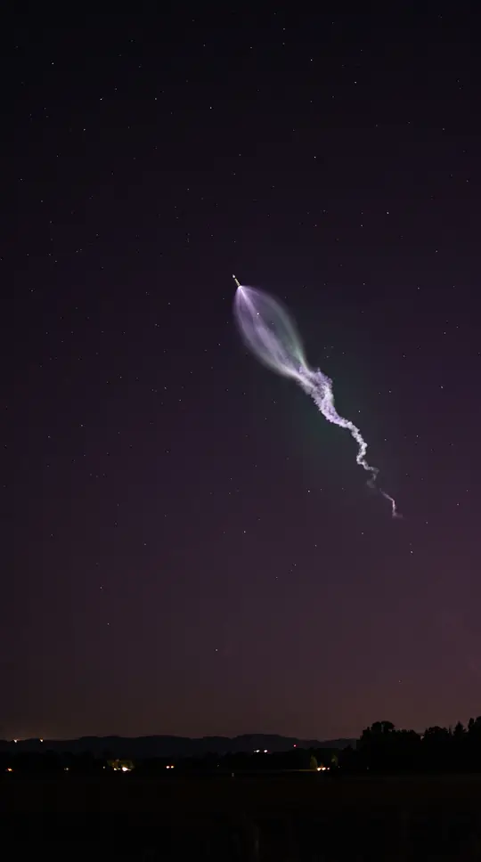 The engine manufacturer that powered the American journey to the MoonFrom the hills of Simi to the lunar surface, one company dominated the American sky. By 1965, Rocketdyne was producing the vast majority of United States rocket engines, fueling t…
- The ingenious use of paper towns to trap copyright thievesDiscover how fictional locations, known as paper towns, are strategically placed on maps to identify and catch those illegally copying geographic data.
 How did geometric triangles actually shrink the total land area of France?Jay Foreman and Mark Cooper-Jones explore the curious relationship between geometry and national borders. This video examines how mapping techniques and triangular calculations in…
 Why the iconic London Tube map almost appeared in a completely different formatJay Foreman and Paul Kendler explore the history of the London Underground map, revealing how the design we recognize today was not the only possibility. This video examines the e…
 Why is North always at the top of our maps?This video explores the history of map orientation and questions why North is consistently placed at the top. It examines whether this convention has always existed and considers …
 Is it possible for a country to be seventeen percent fake?The Map Men investigate the peculiar reality of national borders and landmasses. This video explores the strange geography of a country that is not entirely what it seems, offerin…
 Is there a hidden country called INCA waiting to be discovered?Geography Now explores the mystery of a place referred to as INCA. This video investigates the claim of a hidden country, providing context for those curious about global geograph…
 Why your world map is lying to you about the size of countriesMost world maps rely on the Mercator Projection, which distorts the true scale of nations to aid navigation. This video examines how this common projection misrepresents the size …
 Beyond the borders: a cartographic journey through our world's strangest boundariesExplore the planet through a different lens. This video guides you through a global tour of unusual borders, overseas territories, and geographic anomalies that challenge our stan…
 Seeing the world through a different geographic lensExplore the surprising overlaps in global geography. This tour examines how places can be much different than their names suggest, from unexpected American landscapes to European …
 A visual journey through the world's first 98 nationsThis video presents a curated tour of the globe, beginning with a selection of 98 countries. Through a series of diverse landscapes and landmarks, it offers a sweeping look at the…