How the rugged, water-carved landscape of Argyll and Bute shaped a Scottish council area
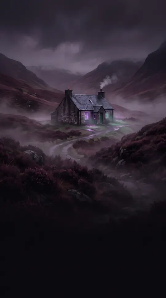
In short: Spanning from the Grampian Mountains to the Atlantic, Argyll and Bute is a land defined by its deep sea lochs and complex, postglacial coastline. This vast region, home to historic islands and modern industrial hubs, balances ancient geography with a unique administrative history that continues to evolve today.
Argyll and Bute is a sprawling council area in western Scotland, characterized by its dramatic, ice-sculpted terrain. The landscape features mountains reaching up to 3,000 feet, interspersed with deepwater sea inlets and freshwater lakes like Loch Awe and Loch Lomond. This rugged topography is the result of postglacial drowning, which created the region's signature indented coastline and numerous peninsulas. The climate varies significantly, with cool, damp conditions along the coast and much harsher, wetter weather inland.
The area's administrative identity has shifted repeatedly over the last century. Originally composed of the historic counties of Argyllshire and parts of Buteshire and Dunbartonshire, the region underwent major restructuring in 1975 and again in 1996. Today, it serves as the second-largest administrative area in Scotland, with its headquarters located at Kilmory Castle in the town of Lochgilphead. The region's economy is diverse, relying on tourism, agriculture, forestry, and fishing, alongside specialized industries like whisky distilling and hydroelectric power.
Transport in this fragmented landscape is a logistical feat, heavily dependent on ferries operated by companies like Caledonian MacBrayne to connect the mainland to islands such as Mull, Islay, and Jura. Rail connectivity is provided by the West Highland Line, which links Oban to Glasgow, while a network of trunk roads, including the A82 and A83, facilitates movement through the mountainous terrain. Despite its geographic isolation, the region remains a vital part of Scotland's infrastructure, blending residential suburbs like Helensburgh with remote, traditional crofting communities in the north.
Opens the Intellect+ feed with this card first. Swipe up for the next one.
Sources
- Summary by Intellect · source: Argyll and Bute | Council, Scotland, & Map | Britannica
- Also: Argyll and Bute
To cite this card, link to https://intellectplus.co.uk/app/culture-argyll-and-bute.
How we source, check and correct cards: Editorial standards.
General information, not professional advice. Spotted an error? Flag the card or see corrections and complaints.
Intellect Plus is a visual educational discovery platform for exploring fascinating facts and ideas. Brain Food, Not Brain Rot. What is Intellect Plus?
Related
More in Languages · More in Cultures · Latest · A–Z · All topics
