Coleraine: A town named for burning ferns and defined by centuries of shifting tides
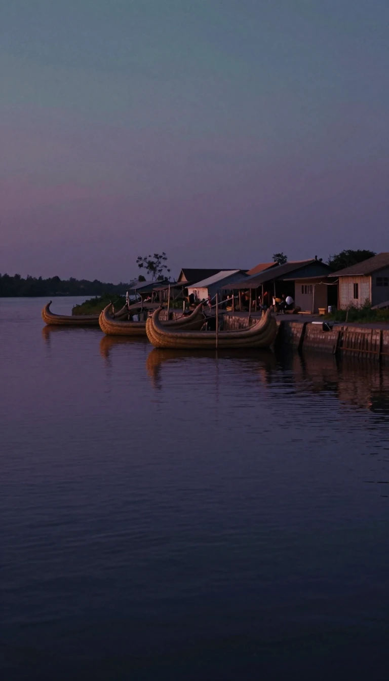
In short: From ancient settlements dating back to 5935 BC to a modern industrial hub, Coleraine has been shaped by the Plantation of Ulster, sectarian conflict, and the loss of its namesake industries. Discover how a nook of ferns became a site of complex history, resilience, and ongoing economic transformation.
The origins of Coleraine, or Cúil Raithin, are rooted in a 9th-century hagiography of Saint Patrick. Legend suggests the name, meaning 'nook of the ferns,' was coined when local chieftain Nadslua offered Patrick land where boys were burning ferns for amusement. This site, situated at the lowest bridgeable point of the River Bann, has hosted human activity for millennia, with Mount Sandel providing some of the oldest evidence of settlement in Ireland, dating to approximately 5935 BC.
In the 17th century, the town was transformed by the Plantation of Ulster, when the Honourable the Irish Society developed it as a planned urban community. This era left a lasting mark on the town's layout, characterized by a skewed street pattern and remnants of defensive ramparts. By the 19th century, industrialization and the arrival of the railway spurred significant growth, with the town becoming famous for products like Coleraine Whiskey and Coleraine Cheddar. Today, however, these manufacturing legacies have largely departed, with production moved to other regions.
The modern era has brought both expansion and hardship. Following the Second World War, the population grew significantly, bolstered by the 1968 opening of the New University of Ulster. Yet, the town has also endured the violence of The Troubles, including the 1973 Railway Road bombing. Recent years have seen continued challenges, including high levels of poverty and ongoing concerns regarding paramilitary activity, leading to the establishment of specialized police task forces. Despite these struggles, the town remains a focal point of Northern Ireland's Causeway Coast and Glens district, home to a diverse population and a significant Polish community.
Coleraine currently faces economic headwinds, with reports of high street decline and its status as part of one of the poorest council areas in Northern Ireland. While the town has evolved from its compact mid-20th-century footprint of less than 2.25 square miles to a dispersed area of about 7 square miles, it continues to navigate the tension between its deep historical roots and the pressures of contemporary social and economic reality.
Opens the Intellect+ feed with this card first. Swipe up for the next one.
Sources
- Summary by Intellect · source: Coleraine
To cite this card, link to https://intellectplus.co.uk/app/culture-coleraine.
How we source, check and correct cards: Editorial standards.
General information, not professional advice. Spotted an error? Flag the card or see corrections and complaints.
Intellect Plus is a visual educational discovery platform for exploring fascinating facts and ideas. Brain Food, Not Brain Rot. What is Intellect Plus?
Related
More in Languages · More in Cultures · Latest · A–Z · All topics
