The Himalayas are a massive, ongoing collision between two of Earth's tectonic plates.
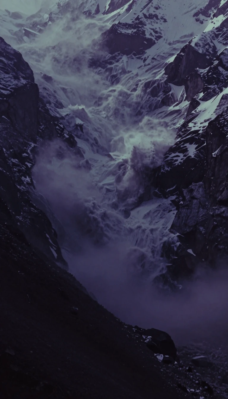
In short: Stretching 2400 km, the Himalayas are not just a static range but a violent, active geological collision. As the Indian Plate relentlessly thrusts into the Eurasian Plate, it creates the world's highest peaks, triggers mega-earthquakes, and reshapes the landscape through a complex, 65-million-year-old process of crustal shortening and tectonic uplift.
The Himalayan orogen is the result of the Indian Plate's northward drift, which began in the Late Cretaceous around 84 million years ago. After covering 6000 km, the Indian Plate began its continent-continent collision with Eurasia approximately 65 million years ago. This interaction fundamentally altered the region, causing about 2500 km of crustal shortening and rotating the Indian Plate counterclockwise by up to 45 degrees in the northwest.
Geologists identify three primary mechanisms to explain the 'missing' continental crust resulting from this convergence: the subduction of Indian continental crust beneath Tibet, the extrusion of the Indochina block, and the folding and thrusting of sediments along the Indian margin. While these processes likely act in combination, the thrusting and folding are primarily responsible for the range's extreme topographic relief. Today, the plates continue to converge at roughly 17 mm per year, fueling intense seismic activity.
The range is organized into four distinct tectonostratigraphic zones, separated by major faults. From south to north, these include the Sub-Himalayan zone, the Lesser Himalaya, the Central Himalayan Domain—which hosts the highest peaks—and the Indus Suture Zone. The Central Himalayan Domain features the High Himalayan Crystalline Sequence, a 30-km-thick metamorphic layer. Studies in the Kumaon region suggest this sequence undergoes steady-state exhumation, where the speed of upward movement is balanced by erosion rates, keeping the system in a dynamic equilibrium.
Understanding these mechanics is critical for seismic risk assessment. Researchers use tools like Coulomb Stress Transfer to map how earthquakes redistribute pressure across fault zones. Because the mid-crustal ramp continues to move south through duplexing and accretion, the region remains one of the most seismically active on Earth, frequently producing earthquakes with magnitudes exceeding Mw 8.0.
Opens the Intellect+ feed with this card first. Swipe up for the next one.
Sources
- Summary by Intellect · source: Geology of the Himalayas
To cite this card, link to https://intellectplus.co.uk/app/nature-geology-of-the-himalayas.
How we source, check and correct cards: Editorial standards.
General information, not professional advice. Spotted an error? Flag the card or see corrections and complaints.
Intellect Plus is a visual educational discovery platform for exploring fascinating facts and ideas. Brain Food, Not Brain Rot. What is Intellect Plus?
Related
More in Geology · More in Nature · Latest · A–Z · All topics
