New global map reveals only 5% of Earth's land has tall trees
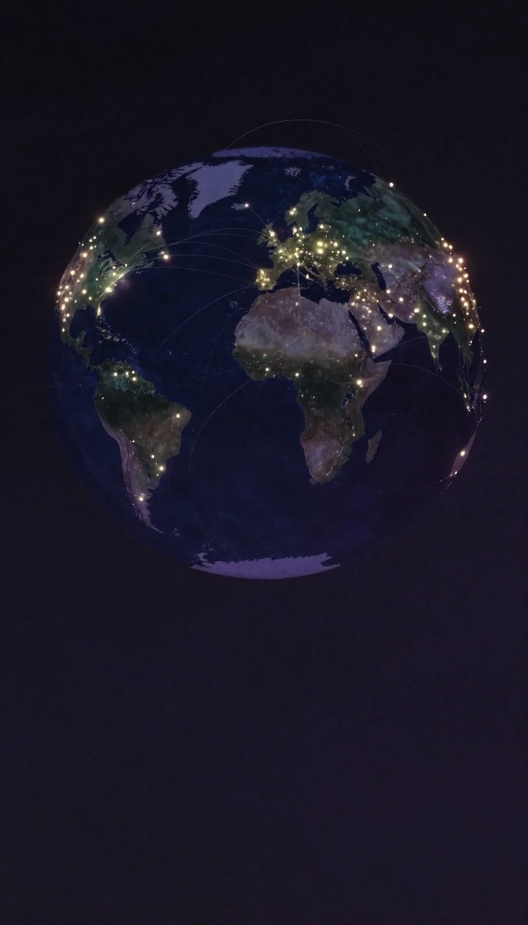
In short: Researchers have developed a high-resolution global map of vegetation height using deep learning. By combining space-borne LiDAR data with optical satellite imagery, they found that only 5% of the Earth's landmass is covered by trees taller than 30 meters, and just 34% of those tall canopies are currently located within protected areas.
This computational model fuses sparse LiDAR data from the GEDI mission with dense Sentinel-2 satellite images to estimate canopy height at a 10-meter resolution. While this improves the retrieval of tall, carbon-rich canopies, the study is limited to a snapshot of the year 2020.
Why it matters: High-resolution mapping shows a significant gap between where tall, carbon-rich trees exist and where they are protected.
Opens the Intellect+ feed with this card first. Swipe up for the next one.
Sources
- Source: Research: Lang et al. (2023). A high-resolution canopy height model of the Earth. Nature Ecology & Evolution. · cc-by
To cite this card, link to https://intellectplus.co.uk/app/nature-research-new-global-map-reveals-only-5-of-earth-s-land-has-tall-trees.
How we source, check and correct cards: Editorial standards.
General information, not professional advice. Spotted an error? Flag the card or see corrections and complaints.
Intellect Plus is a visual educational discovery platform for exploring fascinating facts and ideas. Brain Food, Not Brain Rot. What is Intellect Plus?
Related
More in Ecology · More in Nature · Latest · A–Z · All topics
