Is the site of the crucifixion a hidden hill or a Roman temple foundation?
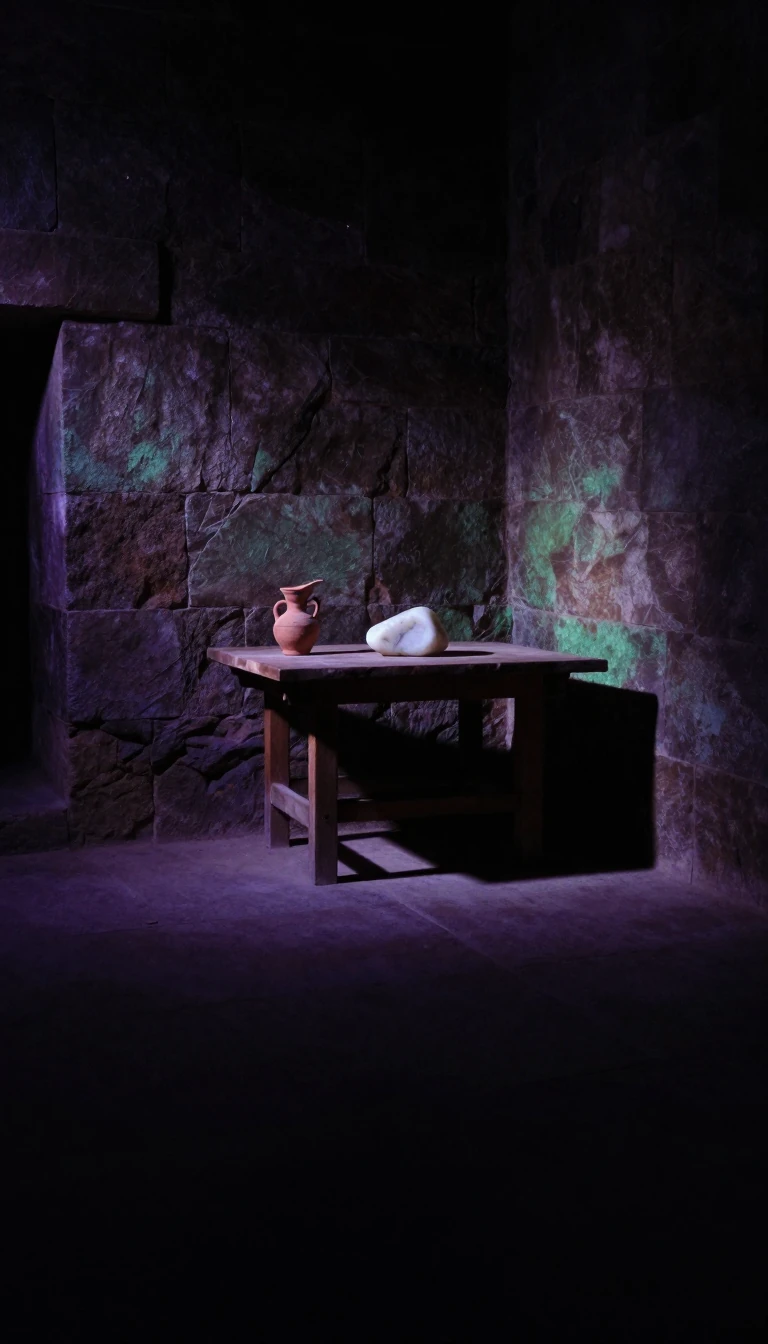
In short: The location of Golgotha, where Jesus was crucified, remains one of history's most debated sites. While tradition places it within Jerusalem's Church of the Holy Sepulchre, archaeological evidence and competing theories suggest a more complex story involving ancient quarries, pagan temples, and a mysterious rock formation that still exists today.
The name Golgotha, or Calvary, translates to 'place of the skull' and appears in the four canonical gospels. While the Bible describes it simply as a site outside the city walls, Christian tradition has long identified it as a hill. The most prominent location is within the Church of the Holy Sepulchre, a site identified by Empress Helena in 325. However, this area was later incorporated into the city, leading some to argue it was outside the walls during the crucifixion around 30 AD, while others suggest it was the site of a later Roman temple to Aphrodite.
Excavations under the church have revealed that the area was once a limestone quarry. A rock outcrop, measuring about 7 meters by 3 meters, remains visible today and is traditionally considered the site of the crucifixion. During 1986 repairs, a round slot was discovered in the rock, which some researchers suggest could have held a wooden cross. Other theories, such as those proposed in the 19th century, point to 'Skull Hill' near the Garden Tomb, where natural features in the cliff face resemble eye sockets, though archaeological dating of nearby tombs suggests they may predate the first century.
The debate is further complicated by the Romanization of Jerusalem. Hadrian built temples over various holy sites, and some early Christian graffiti found beneath the church suggests that believers were venerating the location even while it was occupied by a pagan temple. Whether the site was a natural hill, a funeral monument, or a quarry remnant remains a subject of intense academic scrutiny. Ultimately, the lack of consensus highlights the difficulty of mapping the geography of ancient Jerusalem, a city transformed by centuries of destruction, reconstruction, and competing religious claims.
Opens the Intellect+ feed with this card first. Swipe up for the next one.
Sources
- Summary by Intellect · source: Calvary
- Also: Wikidata — calvary · CC0
- Also: Wikidata — calvary · CC0
To cite this card, link to https://intellectplus.co.uk/app/places-calvary.
How we source, check and correct cards: Editorial standards.
General information, not professional advice. Spotted an error? Flag the card or see corrections and complaints.
Intellect Plus is a visual educational discovery platform for exploring fascinating facts and ideas. Brain Food, Not Brain Rot. What is Intellect Plus?
Related
More in Countries and other regions · More in Countries & Cities · Latest · A–Z · All topics
