The river that moves: how silt creates a shifting geographic maze
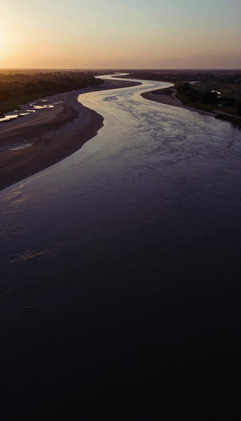
In short: The Yellow River is a geological shapeshifter. Because it carries the world's highest concentration of sediment, it builds its own riverbed, forcing the water to find new paths. Over four millennia, its mouth has migrated as far as 500 miles, rewriting the map of China.
The primary driver of the Yellow River's instability is its massive sediment load. It carries about 57 pounds of silt per cubic yard of water—nearly triple the concentration of the Colorado River and significantly higher than the Nile. This silt, much of it consisting of loose loess, settles as the river's velocity decreases on the North China Plain. As the riverbed builds up, the stream is forced to shift course to find lower elevations, a process that has caused the river to enter the Yellow Sea at points up to 500 miles apart over the last 4,000 years.
Human intervention has created a complex paradox of safety. To protect agriculture, engineers have constructed tens of thousands of miles of levees to stabilize the channel. While these structures delay flooding, they also artificially elevate and confine the riverbed. This makes levee breaches more dramatic and destructive when they occur. For example, the slackening of levee maintenance during the Taiping Rebellion (1850–64) contributed to a major course shift between 1852 and 1854. In other instances, such as in 1938, levees were purposely broken to delay Japanese troops, demonstrating how human strategy interacts with the river's natural volatility.
The river's behavior is also dictated by its hydrology. It carries an average of 13.4 cubic miles of water annually, but its discharge is low compared to other Chinese rivers because much of the water evaporates in arid basins or is diverted for irrigation. Seasonal variations are extreme: high-water levels occur in the spring due to mountain snowmelt, while the highest levels in the lower reaches peak in July and August. These cycles, combined with a sediment volume that would reach 1.52 billion tons per year if unimpeded, ensure the river remains one of the most dynamic and challenging waterways on Earth.
Opens the Intellect+ feed with this card first. Swipe up for the next one.
Sources
- Summary by Intellect · source: Yellow River - Hydrology, Erosion, Silt | Britannica
- Also: Changes in the course of the Yellow River
To cite this card, link to https://intellectplus.co.uk/app/places-changes-in-the-course-of-the-yellow-river.
How we source, check and correct cards: Editorial standards.
General information, not professional advice. Spotted an error? Flag the card or see corrections and complaints.
Intellect Plus is a visual educational discovery platform for exploring fascinating facts and ideas. Brain Food, Not Brain Rot. What is Intellect Plus?
Related
More in Countries and other regions · More in Countries & Cities · Latest · A–Z · All topics
