The river that defines China's geography is also a masterclass in environmental engineering
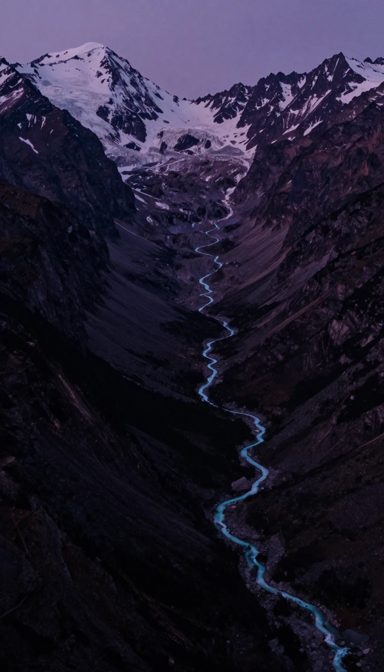
In short: Flowing between the Yangtze and the Yellow River, the Huai River is more than a waterway; it is the boundary between northern and southern China. Once a direct path to the sea, centuries of catastrophic flooding and human intervention have forced this river to reinvent its own path.
The Huai River serves as a critical geographical marker, forming the Qinling–Huaihe Line alongside the Qin Mountains. This boundary roughly aligns with the 0 °C January isotherm and the 800-millimeter annual rainfall isohyet, effectively splitting China into distinct northern and southern climatic zones. Originating in Henan’s Tongbai Mountain, the river historically drained into the Yellow Sea, but its modern course is a testament to centuries of instability.
Beginning in 1194, the Yellow River repeatedly breached its banks, dumping massive amounts of silt into the Huai basin. This sedimentation created high lands and lakes that blocked the Huai’s natural outlet to the sea. The situation reached a breaking point during the Second Sino-Japanese War in 1938, when the Nationalist government intentionally flooded the lower basin to stall invading forces. For nine years, the Yellow River’s main stem flowed through the breach, permanently disrupting the Huai’s drainage and forcing it to pool into Lake Hongze before turning south toward the Yangtze.
The 20th century brought a massive, sustained effort to tame the river. Between 1950 and 2000, the basin underwent significant transformation, including the construction of complex irrigation canals and sluice gates to manage flow. Pollution also became a primary concern; by 1994, the river was the focus of a major national cleanup. Despite over US$2.4 billion in initial investments, progress was hampered by severe flooding in 2004. However, international collaboration, including a US$100 million World Bank project initiated in 2000, helped modernize wastewater infrastructure.
By 2020, these efforts yielded measurable success, with approximately 80% of the river system meeting safety standards for fishing, swimming, and drinking water. Today, the Huai River stands as a global case study in water management, demonstrating how intensive monitoring and infrastructure development can rehabilitate a heavily disturbed river system after centuries of natural and human-induced chaos.
Opens the Intellect+ feed with this card first. Swipe up for the next one.
Sources
- Summary by Intellect · source: Huai River
- Also: Wikidata — Huai River · CC0
- Also: Wikidata — Huai River · CC0
To cite this card, link to https://intellectplus.co.uk/app/places-huai-river.
How we source, check and correct cards: Editorial standards.
General information, not professional advice. Spotted an error? Flag the card or see corrections and complaints.
Intellect Plus is a visual educational discovery platform for exploring fascinating facts and ideas. Brain Food, Not Brain Rot. What is Intellect Plus?
Related
More in Bodies of water · More in Countries & Cities · Latest · A–Z · All topics
