Belgium is a low-lying nation defined by its complex network of rivers and canals
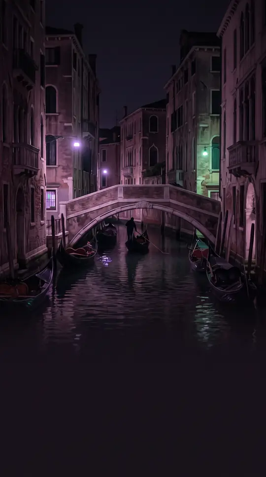
In short: While Belgium is famous for its dense urban landscapes and historic cities, its physical geography is a story of water. From the reclaimed polders of the North Sea coast to the rugged, forested plateaus of the Ardennes, the country’s terrain is shaped by a constant, intricate relationship with its waterways.
Belgium is primarily a low-lying country that rises gradually from the North Sea coast toward the southeast. The landscape is divided into three main physical regions: the coastal plain, the central plateau, and the Ardennes uplands. The coastal region features sandy dunes and polders, which are low-lying areas reclaimed from the sea and protected by dikes. Further inland, the central plateau provides a fertile, rolling landscape irrigated by numerous rivers, including the Schelde, Dender, Senne, and Dijle.
The Ardennes, located in the southeast, stands in stark contrast to the rest of the country. This rugged, forested plateau is part of an ancient mountain belt that dates back to the Paleozoic Era, between 300 and 400 million years ago. It is deeply carved by the Meuse River and its tributaries, creating a landscape of rocky valleys and peat bogs. The highest point in the country, Signal de Botrange, reaches an elevation of 694 meters within this region. Because of its rocky, uneven terrain, the Ardennes is generally unsuitable for large-scale agriculture.
Water management is central to the Belgian landscape. Beyond its natural rivers, the country relies on an extensive network of artificial canals, such as the Albert Canal and the Brussels–Scheldt Maritime Canal, to support its heavily industrialized economy. While the country has few natural lakes of significant size, it features several reservoirs like Lake Eau d'Heure and Lake Eupen. Almost all of the country’s surface water eventually drains into the North Sea, with the exception of the municipality of Momignies, which drains into the English Channel via the Oise River. This intricate hydrological system has been essential to Belgium’s development as a crossroads of Western Europe.
Opens the Intellect+ feed with this card first. Swipe up for the next one.
Sources
- Summary by Intellect · source: Belgium | History, Flag, Map, Population, Currency, Climate, & Facts | Britannica
- Also: Geography of Belgium
To cite this card, link to https://intellectplus.co.uk/app/places-geography-of-belgium.
How we source, check and correct cards: Editorial standards.
General information, not professional advice. Spotted an error? Flag the card or see corrections and complaints.
Intellect Plus is a visual educational discovery platform for exploring fascinating facts and ideas. Brain Food, Not Brain Rot. What is Intellect Plus?
Related
More in Bodies of water · More in Countries & Cities · Latest · A–Z · All topics
