Atmospheric satellites: The unmanned aircraft that could replace orbital hardware for global connectivity
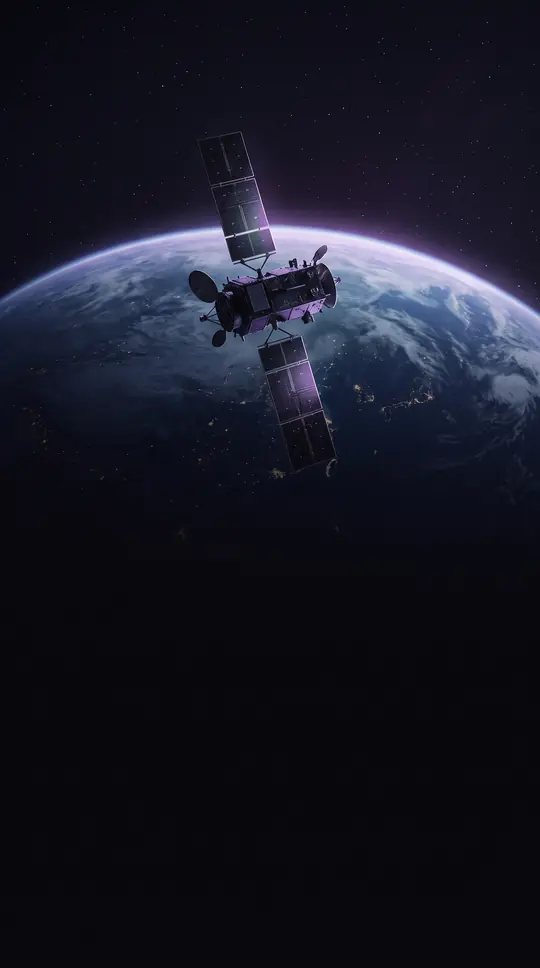
In short: High-altitude platform stations, or atmospheric satellites, are long-endurance aircraft designed to hover in the stratosphere. By operating far above commercial air traffic and weather, these unmanned vehicles offer a cheaper, more flexible alternative to orbital satellites for everything from disaster response and border security to providing global internet access.
Defined by the International Telecommunication Union as stations operating between 20 and 50 kilometers in altitude, these platforms maintain a fixed position relative to Earth. Unlike orbital satellites, which require immense energy to reach space and cannot be easily serviced, atmospheric satellites operate in the thin air of the tropopause. At these heights, drag is significantly reduced, allowing for efficient, long-endurance flight. Because they are closer to the ground than satellites, they offer lower signal latency and require less power for telecommunications, making them highly effective for delivering broadband connectivity to underserved populations.
The technology relies on various propulsion methods, including solar power, hydrogen fuel cells, and conventional engines. Solar-powered prototypes like the Airbus Zephyr have demonstrated the potential for extreme endurance, with some models remaining aloft for up to 64 days. Other designs, such as the Northrop Grumman RQ-4 Global Hawk, serve as operational military assets, providing real-time surveillance and radio relay capabilities for over 34 hours at a time. While stratospheric airships have been proposed as a competing technology, they remain largely experimental, with most operational successes coming from fixed-wing unmanned aerial vehicles.
Beyond communications, these platforms are versatile tools for environmental and security monitoring. They can track weather patterns, monitor maritime borders, and assist in disaster management by providing real-time imagery. Furthermore, their high-altitude positioning makes them ideal for scientific research; NASA has utilized Global Hawk drones to study the atmosphere in partnership with the National Oceanic and Atmospheric Administration. As research continues into more efficient airframes and energy storage, these atmospheric satellites promise to bridge the gap between traditional aviation and space-based infrastructure, offering a persistent, cost-effective presence in the sky.
Opens the Intellect+ feed with this card first. Swipe up for the next one.
Sources
- Summary by Intellect · source: High-altitude platform station
To cite this card, link to https://intellectplus.co.uk/app/places-high-altitude-platform-station.
How we source, check and correct cards: Editorial standards.
General information, not professional advice. Spotted an error? Flag the card or see corrections and complaints.
Intellect Plus is a visual educational discovery platform for exploring fascinating facts and ideas. Brain Food, Not Brain Rot. What is Intellect Plus?
Related
More in World Heritage Sites · More in Countries & Cities · Latest · A–Z · All topics
