Why Hurricane Harvey became the most destructive rain event in American history
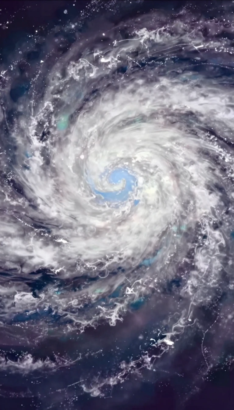
In short: In August 2017, Hurricane Harvey stalled over Texas, transforming from a standard tropical cyclone into a record-breaking deluge. By refusing to move, the storm dumped unprecedented volumes of water on the Houston area, causing catastrophic flooding that reshaped the landscape and redefined the scale of modern natural disasters.
Hurricane Harvey began as a tropical wave near Cabo Verde on August 13, 2017. After struggling to organize in the Caribbean, the system regenerated in the Gulf of Mexico, where it underwent rapid intensification. By August 25, it reached Category 4 status, striking the Texas coast near San José Island and Rockport with winds peaking at 130 miles per hour. This marked the first time a Category 4 storm had hit the United States since 2004, and the first to strike Texas since 1970.
The storm's true devastation stemmed from its unique behavior after landfall. Unlike most hurricanes that dissipate or move inland, Harvey stalled over southern and southeastern Texas for several days. This stationary position concentrated torrential rainfall over the Houston region rather than dispersing it. Some areas recorded over 50 inches of rain, far exceeding the typical annual average of 20 to 32 inches. Consequently, Harvey became the wettest tropical cyclone ever recorded in the United States.
The human and economic toll was staggering. The storm damaged or destroyed more than 200,000 homes and businesses, displaced over 30,000 people, and necessitated more than 17,000 rescues. With 89 direct deaths, it was the deadliest tropical cyclone in Texas since 1919. Estimates place the total damage at approximately $158.8 billion to $160 billion, ranking it as the second most expensive hurricane in U.S. history at the time. Beyond the immediate flooding, residents faced long-term hazards including mold and polluted water.
Scientists have pointed to climate change as a contributing factor to the storm's intensity. Warmer ocean waters provide more energy, allowing tropical systems to strengthen more rapidly. The use of advanced satellite technology, including NOAA’s GOES-16, provided critical data that allowed meteorologists to track the storm’s development and issue warnings. These tools also enabled experimental flood mapping, which helped officials allocate resources during the crisis, highlighting the vital role of modern observation in managing extreme weather events.
Opens the Intellect+ feed with this card first. Swipe up for the next one.
Sources
- Summary by Intellect · source: Hurricane Harvey | 2017, Path, Category, & Facts | Britannica
- Also: Hurricane Harvey: A Look Back Seven Years Later
- Also: Hurricane Harvey
To cite this card, link to https://intellectplus.co.uk/app/places-hurricane-harvey.
How we source, check and correct cards: Editorial standards.
General information, not professional advice. Spotted an error? Flag the card or see corrections and complaints.
Intellect Plus is a visual educational discovery platform for exploring fascinating facts and ideas. Brain Food, Not Brain Rot. What is Intellect Plus?
Related
More in US cities · More in Countries & Cities · Latest · A–Z · All topics
