A rare atmospheric collision that unearthed remains from a cemetery
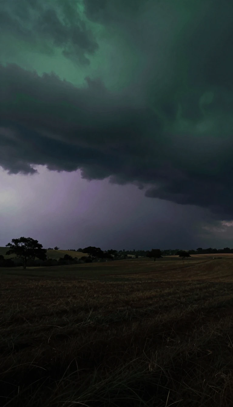
In short: Hurricane Lala was more than just a storm; it was a geological and historical upheaval. While its winds were fierce, the true devastation lay in the water—dropping 1.3 trillion gallons of rain that literally reshaped the landscape of Hawaii's Big Island.
Formed on August 12, 2026, from a tropical wave in the central Eastern Pacific, Hurricane Lala became a significant meteorological event for the state of Hawaii. Since 1871, this was the initial hurricane striking the Big Island directly, and it stood as the third-wettest tropical cyclone recorded to impact the islands. The storm's journey was characterized by erratic intensification: it reached Category 1 status on August 15, weakened briefly due to interaction with mountainous terrain, and then surged back to a Category 4 hurricane by August 19, reaching winds of 130 mph.
The primary mechanism of destruction was the sheer volume of precipitation. Researchers at the University of Hawaiʻi estimated that Lala dropped 1.3 trillion gallons of water across the region. In Nāʻālehu, rainfall rates reached a record-breaking 4.4 inches in just one hour. This deluge triggered devastating flash floods on steep mountain slopes, sweeping away dwellings and infrastructure. Most notably, the floods destroyed two cemeteries in Nāʻālehu, unearthing headstones and remains, with over 60 bodies eventually recovered from the site.
The economic and human toll was substantial. Total losses across Hawaii were estimated at $81.4 million, with approximately $50 million of that occurring on the Big Island alone. The storm caused at least four fatalities, including a woman swept 100 yards by floodwaters in Waiʻōhinu and others found in pastures near the Hawaiʻi Belt Road. While many islands saw power outages and infrastructure damage, the event serves as a stark reminder of how tropical cyclones can interact with complex topography to create localized, catastrophic flooding.
Lala eventually degenerated into a post-tropical cyclone by August 28 after encountering wind shear, dry air, and colder waters. It crossed the international date line where it was classified differently by various agencies—the Joint Typhoon Warning Center marked it as subtropical, while the Japan Meteorological Agency saw it as a non-tropical low. The storm finally dissipated on August 30.
Opens the Intellect+ feed with this card first. Swipe up for the next one.
Sources
- Summary by Intellect · source: Hurricane Lala
- Also: Wikidata — Hurricane Lala · CC0
To cite this card, link to https://intellectplus.co.uk/app/places-hurricane-lala.
How we source, check and correct cards: Editorial standards.
General information, not professional advice. Spotted an error? Flag the card or see corrections and complaints.
Intellect Plus is a visual educational discovery platform for exploring fascinating facts and ideas. Brain Food, Not Brain Rot. What is Intellect Plus?
Related
More in Countries and other regions · More in Countries & Cities · Latest · A–Z · All topics
