Isla Grande de Tierra del Fuego: The Southern Frontier Where Trees Grow Twisted by Wind
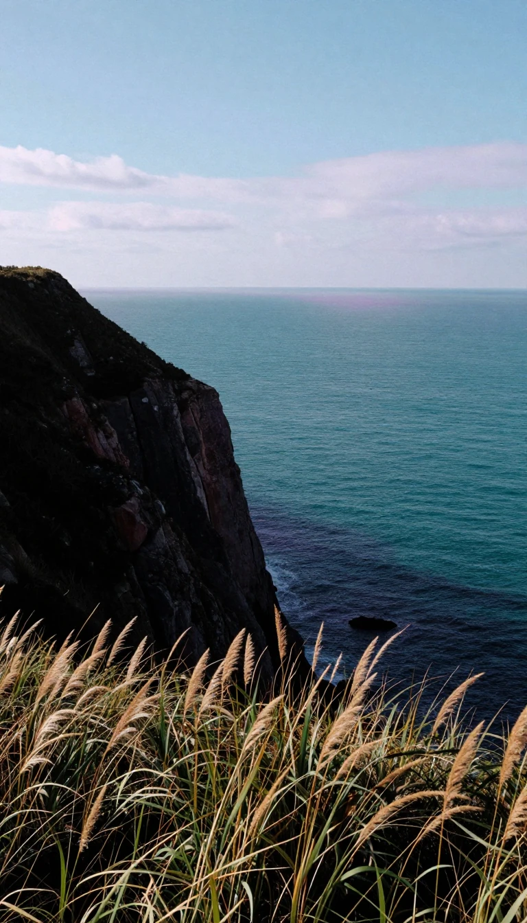
In short: Spanning the southern tip of South America, this massive island is a land of extremes. Divided between Chile and Argentina, it features subpolar forests, oil-rich plains, and a history shaped by indigenous Yaghan fires and colonial explorers. Discover why its unique, wind-sculpted landscape is now being exported to the Faroe Islands.
Isla Grande de Tierra del Fuego is the largest island in South America, covering 47,992 square kilometres. Its geography is a study in contrast: the northeast is defined by steppe and cool semidesert, while the mountainous southwest, dominated by the Cordillera Darwin, is heavily indented by fjords and channels. The island's climate is harsh, with mean summer temperatures around 10 degrees Celsius and winters hovering near freezing. In wind-exposed regions, the relentless gales force trees to grow in twisted shapes, earning them the local nickname of flag-trees.
The island's name originates from Ferdinand Magellan, who in 1520 observed fires lit by the Yaghan people to survive the cold. While Magellan initially dubbed it the Land of Smoke, the name evolved into the more evocative Land of Fire. Human presence here dates back over 10,000 years, with the Yaghan culture leaving behind significant archaeological evidence from the Megalithic era. By 1881, the island was formally partitioned between Chile and Argentina following a long-standing territorial dispute.
Today, the island supports a diverse economy based on oil extraction, natural gas, sheep farming, and ecotourism. Its unique botanical profile, particularly the Magellanic subpolar forests, has proven valuable abroad. Species such as the southern beech have been successfully transplanted to the Faroe Islands, where they provide essential windbreaks and erosion control in a climate that previously struggled to sustain tree growth. Despite its remote location, the island remains a vital ecological and historical bridge at the edge of the world.
Geologically, the region is active, evidenced by a 7.8 magnitude earthquake in 1949 that remains the strongest seismic event documented in southern Argentina. While the island is sparsely populated—with the Argentine side holding the vast majority of its roughly 200,000 residents—it remains a critical site for understanding subantarctic ecosystems and the resilience of life in extreme, high-latitude environments.
Opens the Intellect+ feed with this card first. Swipe up for the next one.
Sources
- Summary by Intellect · source: Isla Grande de Tierra del Fuego
- Also: Wikidata — Tierra del Fuego · CC0
To cite this card, link to https://intellectplus.co.uk/app/places-isla-grande-de-tierra-del-fuego.
How we source, check and correct cards: Editorial standards.
General information, not professional advice. Spotted an error? Flag the card or see corrections and complaints.
Intellect Plus is a visual educational discovery platform for exploring fascinating facts and ideas. Brain Food, Not Brain Rot. What is Intellect Plus?
Related
More in Islands · More in Countries & Cities · Latest · A–Z · All topics
