How the Kohat District of Pakistan evolved through centuries of tribal and imperial rule
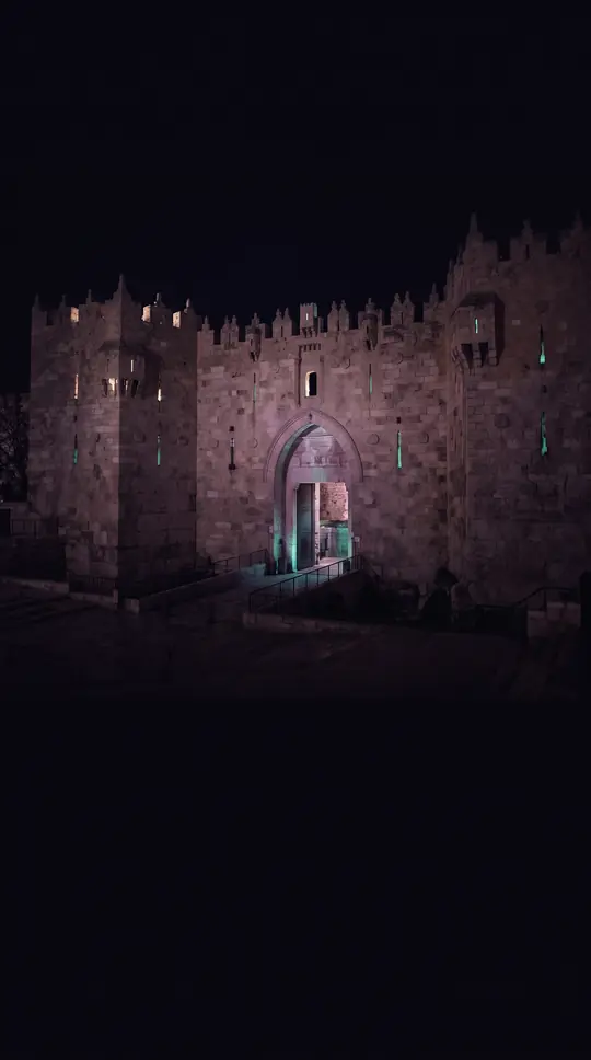
In short: Nestled in the Khyber Pakhtunkhwa province, Kohat District is a region defined by its deep tribal roots and complex colonial history. From the early sixteenth century to the modern era, this district has been shaped by the influence of the Bangash, Banoori, and Afridi tribes and shifting imperial powers.
The historical narrative of Kohat is inextricably linked to the Bangash, Banoori, and Afridi tribes. These groups began establishing their settlements in the region during the 14th and 15th centuries. By the early sixteenth century, the district had become a focal point of tribal governance, eventually falling under the administration of these tribal chiefs while remaining a part of the Mughal Empire from the 16th to the 18th centuries. This period established a foundation of local authority that persisted long before the region faced external territorial shifts.
The political landscape changed significantly in the mid-19th century. Following the Second Anglo-Sikh War of 1848–1849, the British annexed the district from its former Sikh rulers. This transition integrated Kohat into the broader administrative framework of British India. Historical records from the early 20th century, such as those found in the 1911 Encyclopædia Britannica, indicate that the district under British control was geographically larger than the current administrative boundaries recognized today within the Kohat Division of Khyber Pakhtunkhwa.
Today, Kohat is a vibrant, predominantly Islamic district with a population of 1,234,661 as of the 2023 census. The cultural identity of the region remains strong, with 85.90% of the population speaking Pashto as their first language. The demographic data reveals a society in transition, with 22.58% of residents living in urban areas and a literacy rate of 58.55%. While the district continues to evolve, its history remains a testament to the enduring influence of the tribes that first settled the land centuries ago.
The modern district is organized into four tehsils, reflecting a structured approach to governance that contrasts with the tribal-led administration of the Mughal era. With 169,679 households and a significant portion of the population—27.07%—under the age of 10, the district faces the challenges and opportunities of a young, growing community. Understanding Kohat requires looking past its current administrative status to the centuries of tribal settlement and imperial transitions that have defined its unique character.
Opens the Intellect+ feed with this card first. Swipe up for the next one.
Sources
- Summary by Intellect · source: Kohat District
- Also: Wikidata — Kohat District · CC0
To cite this card, link to https://intellectplus.co.uk/app/places-kohat-district.
How we source, check and correct cards: Editorial standards.
General information, not professional advice. Spotted an error? Flag the card or see corrections and complaints.
Intellect Plus is a visual educational discovery platform for exploring fascinating facts and ideas. Brain Food, Not Brain Rot. What is Intellect Plus?
Related
More in Bodies of water · More in Countries & Cities · Latest · A–Z · All topics
