Why Australia's 'Big Water' River Is Only Half the Stream It Once Was
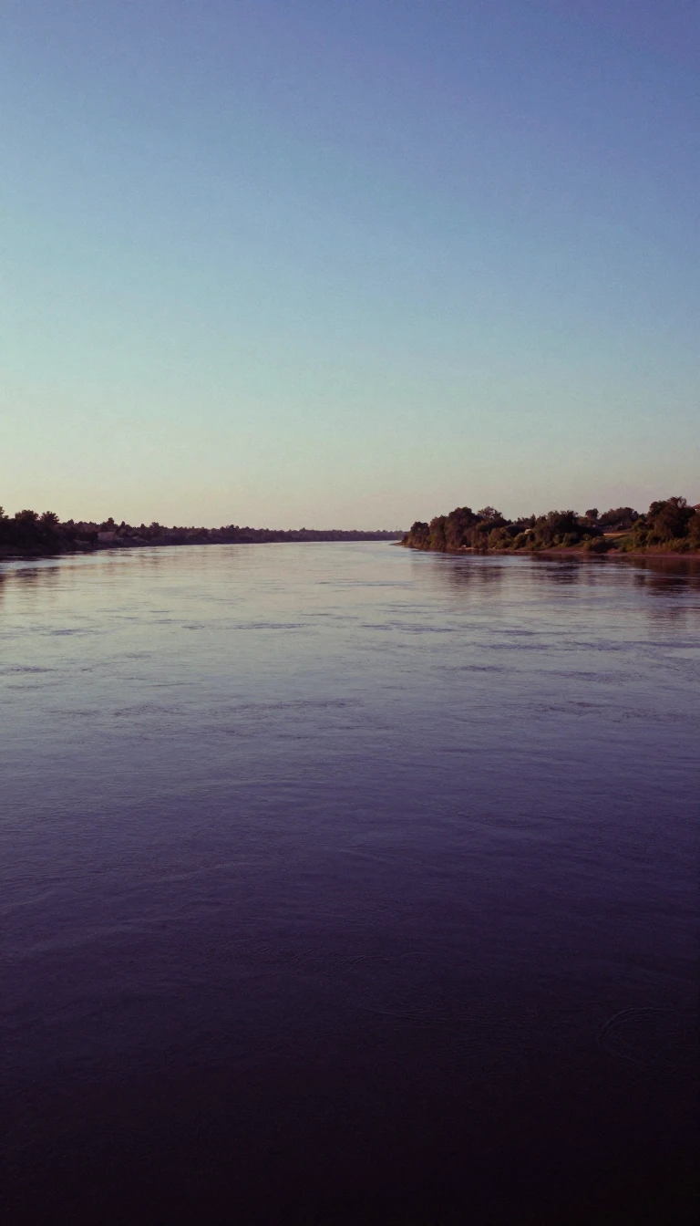
In short: The Murrumbidgee River, a vital artery of the Australian landscape, carries a name meaning big water. Yet, human intervention has fundamentally altered its flow. Once a powerful, perennial force, the river now faces significant ecological challenges, including reduced water levels and a dramatic decline in native fish populations.
Rising in the Eastern Highlands of New South Wales, the Murrumbidgee travels 1,050 miles before joining the Murray River. Its path is marked by a distinctive fishhook bend and a journey that traverses the Australian Capital Territory. Historically, the river was a robust, perennial stream, described by explorer Charles Sturt in 1830 as a powerful current that shot his boat into the Murray with startling force. Today, however, the river is significantly diminished, particularly where it enters the Australian Capital Territory, where flows are estimated to be nearly 50% lower than their historical averages.
The primary driver of this transformation is the Tantangara Dam, completed in 1960. By diverting approximately 99% of the river's flow at its headwaters into Lake Eucumbene, the dam has effectively eliminated natural spring snowmelt cycles. This modification, compounded by additional dams on tributaries like the Cotter and Googong, has led to severe environmental consequences, including stream contraction, siltation, and the loss of critical fish habitats. A 2008 report on the Murray-Darling basin rated the Murrumbidgee's condition as very poor, noting that only 13 of its original 22 native fish species remain.
Despite these ecological pressures, the river remains a cornerstone of Australian agriculture. The Murrumbidgee Irrigation Area, established in 1912 and later expanded to support post-World War I soldier resettlement, covers over 1,000 square miles. It is a highly productive region supporting diverse crops, including rice, grapes, and cotton. While the river continues to sustain the nation's economy, the tension between its role as an agricultural engine and the health of its native ecosystem remains a central, unresolved challenge for the region's future.
Opens the Intellect+ feed with this card first. Swipe up for the next one.
Sources
- Summary by Intellect · source: Murrumbidgee River | Murray-Darling Basin, Wetlands, Irrigation, Map | Britannica
- Also: Murrumbidgee River
To cite this card, link to https://intellectplus.co.uk/app/places-murrumbidgee-river.
How we source, check and correct cards: Editorial standards.
General information, not professional advice. Spotted an error? Flag the card or see corrections and complaints.
Intellect Plus is a visual educational discovery platform for exploring fascinating facts and ideas. Brain Food, Not Brain Rot. What is Intellect Plus?
Related
More in Bodies of water · More in Countries & Cities · Latest · A–Z · All topics
