Pohnpei State: A Volcanic Pacific Hub With Ancient Ruins and Colonial Echoes
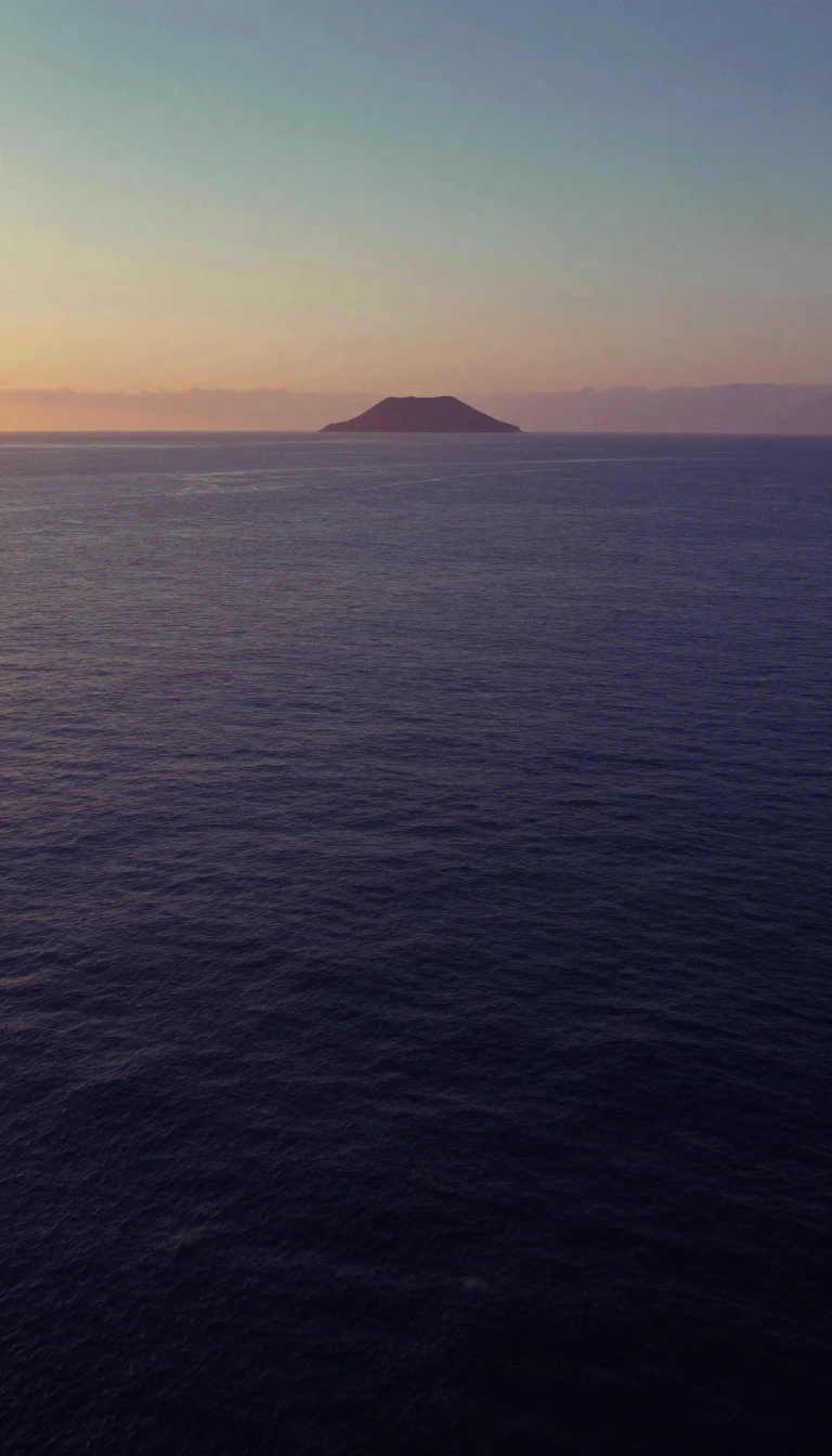
In short: Pohnpei is the largest state in the Federated States of Micronesia, defined by its rugged volcanic peaks and dense rainforests. Beyond its natural beauty, the island holds deep historical layers, from the mysterious ruins of Nan Madol to its turbulent transition through Spanish, German, and Japanese colonial administrations.
Pohnpei State, located in the western Pacific, is a high volcanic island surrounded by a barrier reef. Its geography is characterized by lush, mountainous terrain reaching 791 meters at its highest peak, Dolohmwar. The island experiences significant rainfall, often exceeding 5,000 millimeters annually, which sustains its dense rainforests and extensive mangrove swamps. While the main island is volcanic, the state also encompasses several low-lying coral atolls, such as Pingelap, Nukuoro, and Kapingamarangi, the latter two being home to Polynesian populations with distinct linguistic traditions.
The island's history is divided into three distinct pre-colonial eras, culminating in the Mwehin Nahnmwarki period that lasted until the late 19th century. European contact was sporadic; while Spanish explorers sighted the region in the 16th century, significant interaction did not occur until much later. By 1885, Spain sought to solidify its sovereignty over the Carolinas, establishing a government seat on Pohnpei. This period was marked by indigenous resistance, including a notable 1887 uprising that resulted in the destruction of the Spanish colony. The remains of the colonial era, such as the Spanish Wall, still stand today.
Following the Spanish–American War in 1898, the island was sold to Germany, later passing to Japanese administration under the League of Nations following World War I. During World War II, the islands were bypassed by American forces, though they faced repeated aerial and naval bombardments. Today, Pohnpei serves as a state within the Federated States of Micronesia, which gained independence in 1985. It remains a democratic federation where the state retains significant sovereignty, governed by a governor and a unicameral legislature, while maintaining a close association with the United States.
Opens the Intellect+ feed with this card first. Swipe up for the next one.
Sources
- Summary by Intellect · source: Pohnpei State
- Also: Pohnpei | Micronesia, Culture, Population, & Map | Britannica
- Also: Wikidata — Pohnpei State Hospital · CC0
- Also: Wikidata — Pohnpei State · CC0
To cite this card, link to https://intellectplus.co.uk/app/places-pohnpei-state.
How we source, check and correct cards: Editorial standards.
General information, not professional advice. Spotted an error? Flag the card or see corrections and complaints.
Intellect Plus is a visual educational discovery platform for exploring fascinating facts and ideas. Brain Food, Not Brain Rot. What is Intellect Plus?
Related
More in Regions and country subdivisions · More in Countries & Cities · Latest · A–Z · All topics
