The Purus River is one of the world's most crooked and mysterious waterways
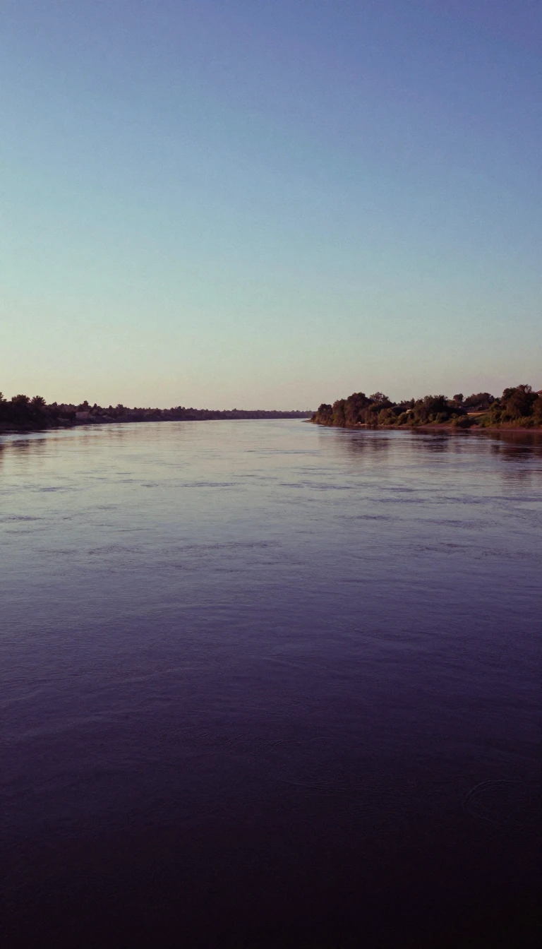
In short: Flowing through a vast depression in South America, the Purus River is a winding giant that acts as a drainage system for a flooded landscape. Beyond its unusual geography, the river hides ancient secrets, including the remains of a previously unknown civilization revealed only by modern satellite imagery.
The Purus River is a major tributary of the Amazon, carving a path through a great depression between the Madeira and Ucayali rivers. Its course is remarkably serpentine; the river is so crooked that its actual length following its curves is more than double the distance measured in a straight line. This unique topography creates a landscape of half-submerged, lake-flooded terrain that functions almost like a massive drainage ditch for the surrounding basin.
Despite its winding nature, the river maintains a surprising consistency. For 1,000 miles, its width remains uniform, and for 800 miles, its depth never drops below 45 feet. William Chandless famously noted that even 590 miles from its mouth, the river sits at an elevation of only 107 feet above sea level. This low-lying, lush environment supports a rich ecoregion known as the Purus várzea, home to diverse species like the Purús red howler monkey and the Peckoltia brevis catfish.
The region is also a site of significant archaeological interest. In 2008, satellite photography exposed the existence of a previously unknown pre-Columbian civilization in the river's upper reaches near the Bolivian border. After forest clearing for agriculture, these images unveiled large-scale geometric earthworks that had remained hidden under the canopy. Today, the river is protected by a series of conservation units, including the Piagaçu-Purus Sustainable Development Reserve and the Abufari Biological Reserve, which safeguard its floodplain and biodiversity.
The river's importance extends to its role as a geographic boundary, defining the border between Peru and Brazil in the state of Acre. It passes through numerous protected areas, such as the Médio Purus Extractive Reserve and the Purus National Forest, illustrating the tension between the river's role as a natural corridor and the ongoing efforts to preserve its ecological integrity against the backdrop of its complex, ancient history.
Opens the Intellect+ feed with this card first. Swipe up for the next one.
Sources
- Summary by Intellect · source: Purus River
- Also: Wikidata — Purus River · CC0
To cite this card, link to https://intellectplus.co.uk/app/places-purus-river.
How we source, check and correct cards: Editorial standards.
General information, not professional advice. Spotted an error? Flag the card or see corrections and complaints.
Intellect Plus is a visual educational discovery platform for exploring fascinating facts and ideas. Brain Food, Not Brain Rot. What is Intellect Plus?
Related
More in Bodies of water · More in Countries & Cities · Latest · A–Z · All topics
