The White Mountains: A Natural Border Between Afghanistan and Pakistan
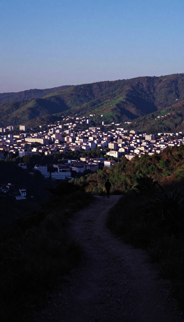
In short: Known as both Safed Koh and Spin Ghar, this rugged mountain range forms a natural barrier between Afghanistan and Pakistan. Stretching 160 kilometers, its peaks reach over 4,700 meters, serving as a vital watershed and a historic theater for conflict, trade, and the movement of people across the Durand Line.
The Safed Koh range, whose name translates to 'White Mountains' in both Pashto and Dari Persian, acts as a significant geological and political divide. Situated south of the Hindu Kush, the range forms the western rim separating the Indian subcontinent from the Eurasian Plate. Its highest point, Mount Sikaram, rises to 4,755 meters, standing near the Pakistani town of Parachinar. The range is composed of ancient Proterozoic gneisses and granites, with higher elevations featuring limestone, dolomite, and crystalline rock, while its summits host cirque glaciers.
Beyond its geology, the range is a critical agricultural lifeline. The rivers originating here irrigate densely populated valleys, enabling multiple harvests in areas like the Jalalabad basin, where crops ranging from wheat and maize to cotton and opium poppies are cultivated. Historically, the region was known for rich orchards of mulberry and pomegranate. However, the environment has faced significant pressure; while the main range once supported thriving pine and deodar cedar forests, decades of conflict and unsustainable timber exports have caused widespread devastation. Efforts to curb this, such as a 1975 export ban, have struggled against persistent smuggling.
The mountains have long served as a strategic corridor. The famous Khyber Pass cuts through a spur of the range, while the Agam Pass provides a viable route over the main ridge. Since the establishment of the 1893 Durand Line, the mountains have functioned as a contested border. In more recent history, the range became a focal point of geopolitical conflict, notably during the 2001 Tora Bora offensive, when the rugged terrain provided a route for fighters to cross between Afghanistan and Pakistan. Following 2004, the area became a theater for sustained military operations aimed at controlling these mountain passages.
Opens the Intellect+ feed with this card first. Swipe up for the next one.
Sources
- Summary by Intellect · source: Safed Koh
To cite this card, link to https://intellectplus.co.uk/app/places-safed-koh.
How we source, check and correct cards: Editorial standards.
General information, not professional advice. Spotted an error? Flag the card or see corrections and complaints.
Intellect Plus is a visual educational discovery platform for exploring fascinating facts and ideas. Brain Food, Not Brain Rot. What is Intellect Plus?
Related
More in Land relief · More in Countries & Cities · Latest · A–Z · All topics
