How a 200-foot mast in space mapped nearly 80% of Earth's land surface
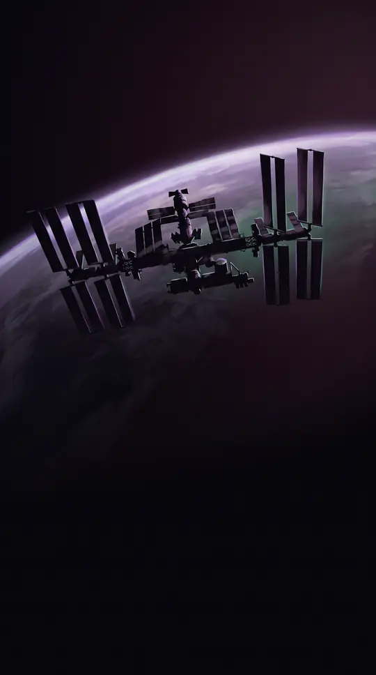
In short: In February 2000, the Space Shuttle Endeavour spent 11 days orbiting Earth with a massive 60-meter mast extended from its payload bay. This daring engineering feat enabled single-pass radar interferometry, creating the first near-global topographic map of our planet and forever changing how we visualize the world's terrain.
The Shuttle Radar Topography Mission (SRTM) was a collaborative effort between NASA and the U.S. National Geospatial-Intelligence Agency. To capture elevation data, the mission utilized an interferometric synthetic aperture radar system. Unlike previous iterations, the SRTM featured two antennas: one inside the shuttle's bay and another mounted on a 200-foot mast that deployed once in orbit. This configuration allowed for single-pass data collection, a critical advancement over earlier systems like the 1994 Spaceborne Imaging Radar-C.
The mission gathered data using two radar bands. The C-band provided wider coverage, forming the basis of the near-global Digital Elevation Models (DEMs), while the X-band offered higher resolution but suffered from narrower coverage gaps. Because radar reflects off surfaces, the raw data often captured non-terrain features like trees and buildings, necessitating extensive post-processing. By 2011, the dataset had reached 750,000 confirmed users across 221 countries, proving its immense value to geographic information systems.
Over the years, the data has evolved through several versions. Early releases contained significant voids, particularly in high-relief areas like mountains and canyons. Version 3, released in 2013, addressed these gaps by integrating data from other sources like ASTER GDEM2. By 2014, a high-resolution 1-arcsecond global release, SRTM-GL1, was made public. While some artifacts remain, these models provide a foundational resource for everything from hydrological modeling to climate research, with the original hardware now preserved at the Smithsonian's Udvar-Hazy Center.
Opens the Intellect+ feed with this card first. Swipe up for the next one.
Sources
- Summary by Intellect · source: Shuttle Radar Topography Mission
- Also: Shuttle Radar Topography Mission (SRTM) | NASA Earthdata
- Also: Wikidata — Shuttle radar topography mission produces a wealth of data · CC0
To cite this card, link to https://intellectplus.co.uk/app/places-shuttle-radar-topography-mission.
How we source, check and correct cards: Editorial standards.
General information, not professional advice. Spotted an error? Flag the card or see corrections and complaints.
Intellect Plus is a visual educational discovery platform for exploring fascinating facts and ideas. Brain Food, Not Brain Rot. What is Intellect Plus?
Related
More in Technical geography · More in Countries & Cities · Latest · A–Z · All topics
