 Intellect Plus
Technical geography
45 cards. Each one is a 40-second story with a five-minute read behind it.
 Why two-thirds of Australians live in just one cornerAustralia is famously flat, yet its population distribution is strikingly lopsided. Most of the nation's people cluster in the southeast—a geographic fluke driven by mountain rain…
 Why your code might trigger nasal demons: the hidden reality of undefined behaviorIn programming, undefined behavior occurs when code violates language specifications, allowing compilers to assume the error never happens. This grants compilers immense freedom t…
 Why your computer is a family member, not just a collection of silicon partsAn instruction set architecture acts as the vital bridge between software and hardware. By defining how a machine processes data, it allows programs to run across different physic…
 Why mathematicians use flexible wooden rulers to model complex digital curvesBefore computers, draftsmen used physical elastic rulers, called splines, to draw smooth curves through fixed points. Today, mathematicians use this same concept to create digital…
 The iconic Black Forest cuckoo clock was not actually invented in the Black ForestWhile the cuckoo clock is a quintessential German cultural icon, its origins are far older and more mysterious. Mechanical cuckoos were documented in 17th-century handbooks long b…
 The 1950s algorithm that still powers modern navigation and handheld scientific calculatorsBefore modern processors had dedicated hardware for complex math, engineers needed a way to calculate trigonometry and logarithms without expensive multipliers. The solution was C…
- Not a Number: How computing systems handle the impossible and the undefinedIn the world of digital logic, some operations simply do not yield a numerical result. When a calculation hits a dead end, like the square root of a negative number, computers ret…
 A simple unit conversion error destroyed a $327 million Mars mission in 1999.When the Mars Climate Orbiter arrived at the Red Planet, it vanished into the atmosphere instead of entering orbit. The culprit was not a complex mechanical failure, but a basic m…
 Why the atan2 function is the secret to navigating the Cartesian planeConverting coordinates from rectangular to polar is a classic programming headache. Standard arctangent functions often fail to distinguish between quadrants, leading to ambiguous…
 Why your data might lie to you depending on how you draw the mapStatistical geography is more than just plotting numbers on a map. It is the science of understanding how boundaries and scales distort reality. By changing the shape of a study a…
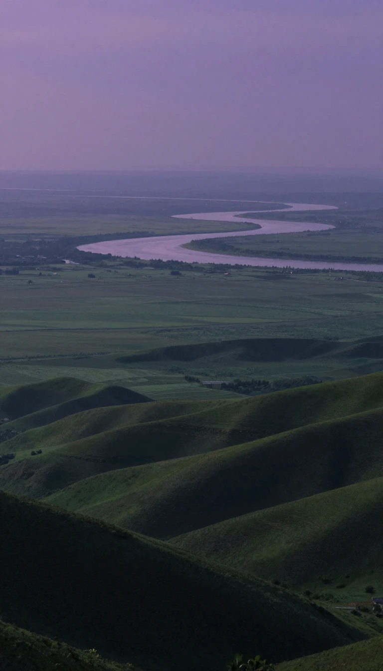 Beyond mountains and valleys: the ancient art of writing about placeWhile we often think of topography as mere elevation, its origins lie in the literal act of writing about a place. From ancient Greek descriptions to modern satellite radar, the s…
 How we turn raw Earth observations into intelligent spatial dataBeyond simple maps lies a complex intersection of computer science and geography. Geoinformatics provides the digital architecture needed to process everything from satellite imag…
 How a Crimean War disaster and the telegraph birthed the modern weather mapBefore the mid-19th century, weather forecasting was largely local guesswork. A devastating storm during the Crimean War proved that tracking weather systems across vast distances…
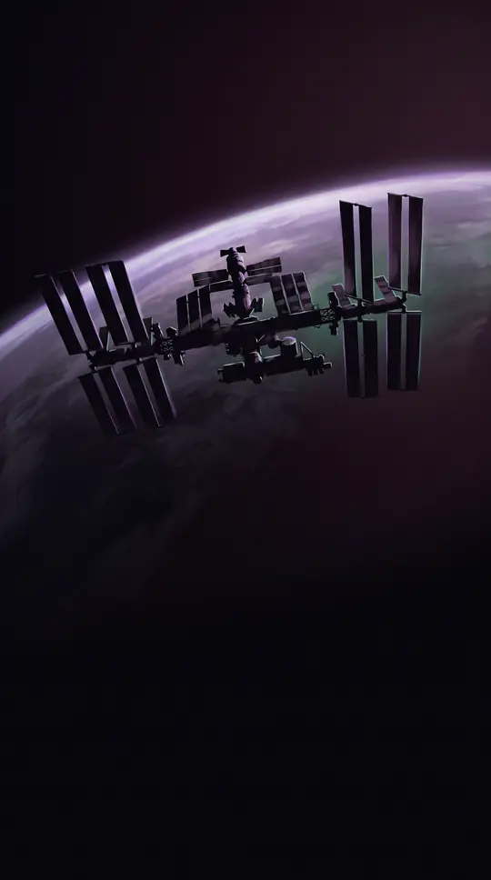 How a 200-foot mast in space mapped nearly 80% of Earth's land surfaceIn February 2000, the Space Shuttle Endeavour spent 11 days orbiting Earth with a massive 60-meter mast extended from its payload bay. This daring engineering feat enabled single-…
 Why your daily movements are actually a complex web of invisible, rigid constraintsWe often view our daily lives as a series of free choices, but time geography reveals a different reality. Developed by Torsten Hägerstrand, this framework maps how our paths are …
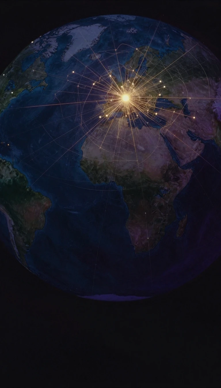 Why the setting sun defines the western horizon across almost every human languageWest is more than a compass point; it is a linguistic echo of the evening. From the Indo-European root for night to the Latin term for a setting star, humans have long defined the…
 Why every world map you have ever seen is technically a lieMapping the entire surface of the Earth onto a flat plane is a geometric impossibility. Because our planet is a three-dimensional sphere, any two-dimensional representation must d…
 How do you map the invisible movement of ideas, trade, and wind?A flow map is a hybrid of a map and a flow diagram, using linear symbols to track movement between locations. From the migration of people to the flow of telecommunications data, …
 Why our maps put the sunrise on the right sideThe word 'east' is a linguistic fossil of human observation. It encodes the movement of the sun into our very vocabulary, linking the cardinal direction to the dawn. But while it …
 Why spatial analysis is the secret engine behind your daily digital lifeFrom ordering food to planning disaster relief, spatial analysis transforms raw location data into actionable intelligence. By blending geography with advanced computing, this fie…
- Thematic maps turn invisible data into visual patterns to reveal hidden geographic truths.Unlike standard reference maps that highlight roads or borders, thematic maps visualize specific properties like temperature, language, or disease outbreaks. By leveraging human v…
 How geography transformed from descriptive storytelling into a rigorous, law-seeking spatial scienceDuring the 1950s and 1960s, geography underwent a radical paradigm shift known as the quantitative revolution. By replacing traditional, descriptive regional studies with mathemat…
 Terrain is more than just dirt; it is the fundamental architecture of human existence.From the strategic movements of armies to the success of your morning coffee, terrain dictates the rules. It is the physical shape of our world, shaped by a constant, violent tug-…
 No nautical chart is infallible, making every single one potentially incomplete and dangerousNavigating the open sea requires more than just a map; it demands an active, updated system of data. Because underwater terrain shifts and hazards remain undiscovered, relying on …
 Why your height above sea level is not as simple as you thinkWe define height by gravity, not just distance. Because Earth's gravity field is irregular, the mathematical surface we call sea level fluctuates wildly across the globe. Understa…
 Why a simple red line on a map is more than just inkMap symbols are not merely labels; they are sophisticated graphical devices that translate complex real-world phenomena into readable visual hierarchies. From iconic trees to abst…
 Why your brain struggles to read maps that use circles to show dataProportional symbol maps use varying shapes to represent quantities, but our eyes often betray us. While we intuitively grasp that a larger symbol means more of something, we cons…
 Can the complexity of our world be captured by mathematical laws and statistical models?Quantitative geography seeks to explain our world through data, using mathematical models to map human and physical patterns. Born from a mid-20th-century revolution, this field r…
- Why the direction of the midday sun defines our understanding of the southSouth is more than a compass point. It is a linguistic relic of the sun's position, a navigational bearing of 180 degrees, and a loaded term for economic disparity. From the ancie…
 Why your elevation is never truly fixed to the ground beneath your feetElevation seems like a simple, static number, but it is actually a complex measurement tied to a shifting vertical datum. Because sea levels fluctuate due to climate change and ge…
 Why the shortest path between two points on a sphere is a curveOn a flat map, a straight line is the shortest distance between two points. But on a sphere, the rules of geometry shift. To find the most direct route across a globe, you must tr…
 Is geographic information science just a tool, or a fundamental way to map reality?Geographic information science is not merely the software you use to map a route. It is a rigorous scientific discipline that explores how we capture, organize, and interpret the …
 Beyond Maps: The Ancient Art of Cataloging the World's Every DetailA gazetteer is far more than a simple index of places. From ancient Egyptian temple walls to modern digital databases, these comprehensive records have served as essential tools f…
 Why the humble heat map is more than just a splash of colorA heat map transforms complex, dense data into an intuitive visual landscape. By mapping numerical values to color intensity, these tools reveal hidden patterns in everything from…
- Geomatics is the invisible engineering discipline mapping the future of our planetGeomatics is the modern evolution of land surveying, bridging geography and computer science to manage the Earth's spatial data. By integrating remote sensing, satellite systems, …
 Geostatistics treats the unknown not as a single point, but as a probability distribution.Traditional interpolation guesses values at empty spots based on nearby data. Geostatistics goes further, treating those missing values as correlated random variables. By modeling…
- Why modern maps are no longer just static pictures of the worldGeovisualization transforms maps from simple reference tools into interactive engines for discovery. By leveraging real-time computing, these systems allow users to manipulate dat…
 The deceptive art of the dot distribution mapA single dot can represent a person or ten thousand people. While these maps offer an intuitive glimpse into population density, they often harbor a hidden danger: the illusion of…
 Why a 19th-century map projection sparked a fierce, decades-long academic warThe Gall–Peters projection is a map designed to preserve the relative surface area of landmasses, correcting the size distortions of the ubiquitous Mercator. Yet, its rise to prom…
 How do we map the bare earth without removing every tree and building manually?Digital elevation models strip away the world's surface clutter to reveal the raw terrain beneath. By synthesizing radar, satellite, and airborne data, these three-dimensional gri…
- Why the United Nations flag and ballistic missile maps share the same geometryThe azimuthal equidistant projection is a unique map style that keeps distances and directions perfectly accurate from a single chosen center point. While it is a practical tool f…
- How computer cartography transformed the map from a static image into a living toolFor centuries, maps were static snapshots of the world. Today, they are dynamic, data-driven systems that update in real-time. By integrating satellite imagery, GPS coordinates, a…
- The ancient Arabic term for directions that guides everything from satellites to ship propellersAn azimuth is the horizontal angle between a reference direction, usually north, and a target point. While it sounds like a niche navigational tool, this concept is the backbone o…
 Why your map is a lie: the art of cartographic generalizationMaps are not perfect mirrors of reality; they are curated abstractions. When cartographers shrink the world to fit on a page, they must decide what to keep and what to discard. Th…
 Your daily routine creates a unique map of the world you actually inhabitYou likely think of your world as the entire city or region you live in. But in social science, your true environment is your activity space: the specific set of locations you vis…