How a nineteenth-century chain of survey points revealed the true shape of our planet.
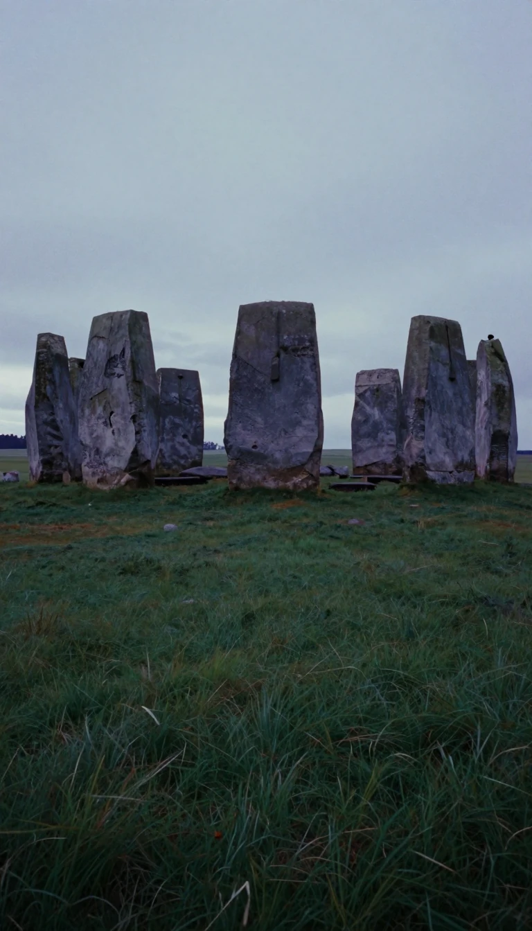
In short: Between 1816 and 1855, Friedrich Georg Wilhelm von Struve orchestrated a massive scientific endeavor. By measuring a meridian arc stretching over 2,820 kilometers from Norway to the Black Sea, he provided the first accurate calculation of the size and shape of the Earth, a feat of international cooperation still honored today.
The Struve Geodetic Arc was a monumental undertaking in the history of science, involving 258 main triangles and 265 geodetic vertices. Friedrich Georg Wilhelm von Struve, a German-born Russian scientist, directed this survey to determine the Earth's dimensions. At the time, the chain spanned three nations: Norway, Sweden, and the Russian Empire. Today, the arc traverses ten countries, serving as a testament to early international scientific collaboration.
The precision of Struve's work was remarkable for the mid-nineteenth century. By 1858, his measurements suggested the Earth's equatorial radius was approximately 6,378,360.7 meters, with a flattening ratio of one part in 294.26. These figures were a significant improvement over a 1740 survey, which had estimated the radius at 6,396,800 meters and the flattening at one part in 178. Modern satellite navigation, utilized in 2005, refined these values to a radius of 6,378,136.8 meters and a flattening ratio of roughly one part in 298.26.
In 2005, UNESCO inscribed the arc on the World Heritage List. While the original survey relied on 265 main station points marked by cairns, iron crosses, or drilled rock holes, the current World Heritage site preserves 34 of these locations. These markers represent a legacy of rigorous topographical and geodesic research that spanned from the early nineteenth century until the onset of the First World War, fundamentally shaping our understanding of the planet's geometry.
Opens the Intellect+ feed with this card first. Swipe up for the next one.
Sources
- Summary by Intellect · source: Struve Geodetic Arc
- Also: Wikidata — Struve Geodetic Arc · CC0
To cite this card, link to https://intellectplus.co.uk/app/places-struve-geodetic-arc.
How we source, check and correct cards: Editorial standards.
General information, not professional advice. Spotted an error? Flag the card or see corrections and complaints.
Intellect Plus is a visual educational discovery platform for exploring fascinating facts and ideas. Brain Food, Not Brain Rot. What is Intellect Plus?
Related
More in World Heritage Sites · More in Countries & Cities · Latest · A–Z · All topics
