The treacherous Indonesian strait that once served as the gateway to the Spice Islands
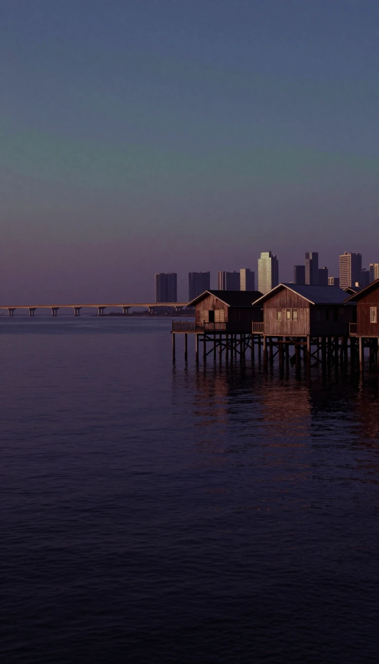
In short: Connecting the Java Sea to the Indian Ocean, the Sunda Strait is a vital but notoriously difficult maritime passage. While it historically served as a crucial route for the Dutch East India Company, its shallow waters and complex currents now challenge modern navigation, leaving it largely bypassed by large commercial vessels.
Separating the islands of Java and Sumatra, the Sunda Strait is a triangular channel defined by its volatile geography. At its northeastern end, the passage narrows to a minimum width of 24 kilometers and shallows to just 20 meters. These physical constraints, combined with strong tidal currents, sandbanks, and man-made obstructions like oil platforms, make it a hazardous route for contemporary shipping. Consequently, most large vessels prefer the Strait of Malacca, despite the Sunda Strait's historical significance as the primary gateway for the Dutch East India Company between 1602 and 1799.
The region is perhaps best known for the 1883 eruption of the volcanic island Krakatoa. The event was catastrophic, generating tsunamis with waves reaching 38 meters that destroyed hundreds of towns and villages. Estimates suggest the disaster claimed approximately 36,000 lives, with the entire population of the nearby island of Sebesi perishing. The eruption fundamentally reshaped the strait's topography, depositing massive quantities of ignimbrite across the surrounding area. Today, the archipelago continues to evolve; the volcanic peak Anak Krakatau emerged from the original site's remains in 1927.
Beyond its natural volatility, the strait has been a theater of conflict and ambitious engineering. During the Second World War, the Battle of the Sunda Strait occurred on March 1, 1942, resulting in the sinking of Allied cruisers HMAS Perth and USS Houston. In more recent decades, the Indonesian government explored grand infrastructure projects, including a multi-billion dollar suspension bridge proposal that would have utilized islands like Sangiang to span the water. Although an accord was signed with the China Railway Construction Corporation in 2012, the project was ultimately shelved by the administration of President Joko Widodo in 2014, leaving the strait in its natural, albeit challenging, state.
Opens the Intellect+ feed with this card first. Swipe up for the next one.
Sources
- Summary by Intellect · source: Sunda Strait
- Also: Sunda Strait | Java, Sumatra, Indian Ocean, Facts, & Map | Britannica
- Also: Wikidata — Sunda Strait · CC0
To cite this card, link to https://intellectplus.co.uk/app/places-sunda-strait.
How we source, check and correct cards: Editorial standards.
General information, not professional advice. Spotted an error? Flag the card or see corrections and complaints.
Intellect Plus is a visual educational discovery platform for exploring fascinating facts and ideas. Brain Food, Not Brain Rot. What is Intellect Plus?
Related
More in Bodies of water · More in Countries & Cities · Latest · A–Z · All topics
