Far West Texas is a land of extremes defined by the Pecos River
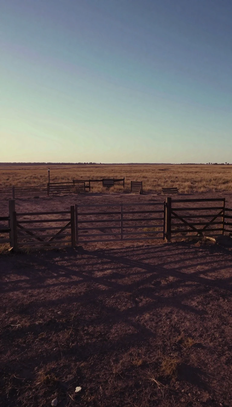
In short: Spanning over 31,000 square miles, the Trans-Pecos is the most arid and mountainous corner of Texas. While it contains the state's largest counties by area, it remains sparsely populated, with the vast majority of its residents concentrated in a single metropolitan hub that dictates the region's political and social character.
Defined in 1887 by geologist Robert T. Hill, the Trans-Pecos encompasses the nine counties situated west of the Pecos River. This region is a significant portion of the Chihuahuan Desert, characterized by rugged terrain and vast stretches of private ranchland. Despite its immense size, the area is largely empty, save for the El Paso metropolitan zone, which houses 93.5 percent of the region's 919,421 residents as of 2020.
The demographic contrast within these nine counties is stark. El Paso County, the smallest in land area, maintains a density of 853 people per square mile. In contrast, Brewster County—the largest in the state—spans over 6,000 square miles but supports only 1.5 people per square mile. Terrell County represents the extreme of this isolation, with a population of just 760 people spread across more than 2,300 square miles, resulting in a density of less than one person per square mile.
Politically, the region is dominated by the influence of El Paso, which has consistently supported Democratic presidential candidates since 1984. While other counties like Jeff Davis have leaned toward Republican candidates in recent decades, the overall regional voting pattern has favored the Democratic Party in every presidential election since 1988. This political alignment is reflected in the region's representation, split between congressional and state legislative districts that balance the dense urban core of El Paso against the expansive, rural landscapes of the surrounding counties.
Beyond its human geography, the Trans-Pecos is a region of ecological and economic diversity. It hosts three American Viticultural Areas, including the Texas Davis Mountains and Escondido Valley, and features iconic natural landmarks like the Guadalupe Mountains and Big Bend National Park. Transportation through this mountainous expanse relies on major arteries like Interstates 10 and 20, which connect the isolated settlements that dot this arid, high-desert landscape.
Opens the Intellect+ feed with this card first. Swipe up for the next one.
Sources
- Summary by Intellect · source: Trans-Pecos
- Also: Wikidata — Trans-Pecos · CC0
To cite this card, link to https://intellectplus.co.uk/app/places-trans-pecos.
How we source, check and correct cards: Editorial standards.
General information, not professional advice. Spotted an error? Flag the card or see corrections and complaints.
Intellect Plus is a visual educational discovery platform for exploring fascinating facts and ideas. Brain Food, Not Brain Rot. What is Intellect Plus?
Related
More in Bodies of water · More in Countries & Cities · Latest · A–Z · All topics
