The Loneliest Road in America: How U.S. Route 50 Bridges a Continent
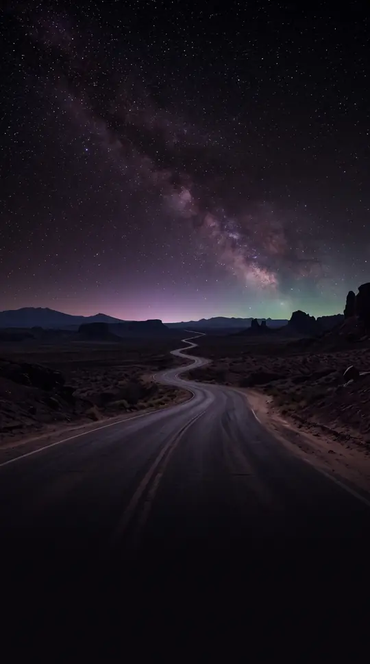
In short: Stretching over 3,000 miles from the Pacific to the Atlantic, U.S. Route 50 is a relic of the original 1926 highway system. Once a patchwork of historic auto trails, this transcontinental artery traverses everything from desolate Nevada deserts to the bustling streets of Washington, D.C., constantly evolving through decades of realignment.
Established in 1926, U.S. Route 50 was designed to provide a continuous east-west corridor across the United States. Its path was not carved from scratch but stitched together from existing auto trails, including the Lincoln Highway, the National Old Trails Road, and the Midland Trail. While the original 1926 plan intended to link Sacramento, California, to Annapolis, Maryland, the route faced immediate logistical hurdles. A significant gap in western Utah forced early travelers to detour through Salt Lake City, a problem that was not fully resolved until the route was moved to U.S. Route 6 in the 1950s and later shifted onto Interstate 70 in 1976.
The character of the road changes dramatically across its 3,019-mile span. In Nevada, the highway earns its nickname, 'The Loneliest Road in America,' as it cuts through the Basin and Range province, a series of mountain ranges that break up the vast desert. Further east, the route climbs to its highest point of 11,312 feet at Monarch Pass in Colorado, crossing the Continental Divide. These remote stretches contrast sharply with the high-speed, partially limited-access sections found in Maryland and the urban density of cities like Cincinnati and Washington, D.C.
The route has undergone numerous transformations. It was extended west to San Francisco in the 1930s—a change reversed in 1964—and pushed east to Ocean City, Maryland, in 1949. Historically, the highway relied on a ferry to cross the Chesapeake Bay until the Chesapeake Bay Bridge opened in 1952. Despite the rise of the Interstate Highway System, which often bypassed or absorbed parts of the route, US 50 remains a vital, if fragmented, piece of American infrastructure. Today, it serves as a reminder of an era when travel was defined by the landscape itself rather than the efficiency of modern freeways.
Opens the Intellect+ feed with this card first. Swipe up for the next one.
Sources
- Summary by Intellect · source: U.S. Route 50
- Also: Wikidata — U.S. Route 50 · CC0
- Also: Wikidata — U.S. Route 50 in Nevada · CC0
To cite this card, link to https://intellectplus.co.uk/app/places-u-s-route-50.
How we source, check and correct cards: Editorial standards.
General information, not professional advice. Spotted an error? Flag the card or see corrections and complaints.
Intellect Plus is a visual educational discovery platform for exploring fascinating facts and ideas. Brain Food, Not Brain Rot. What is Intellect Plus?
Related
More in Other hydrological features · More in Countries & Cities · Latest · A–Z · All topics
