The northernmost highway in America is actually two separate roads
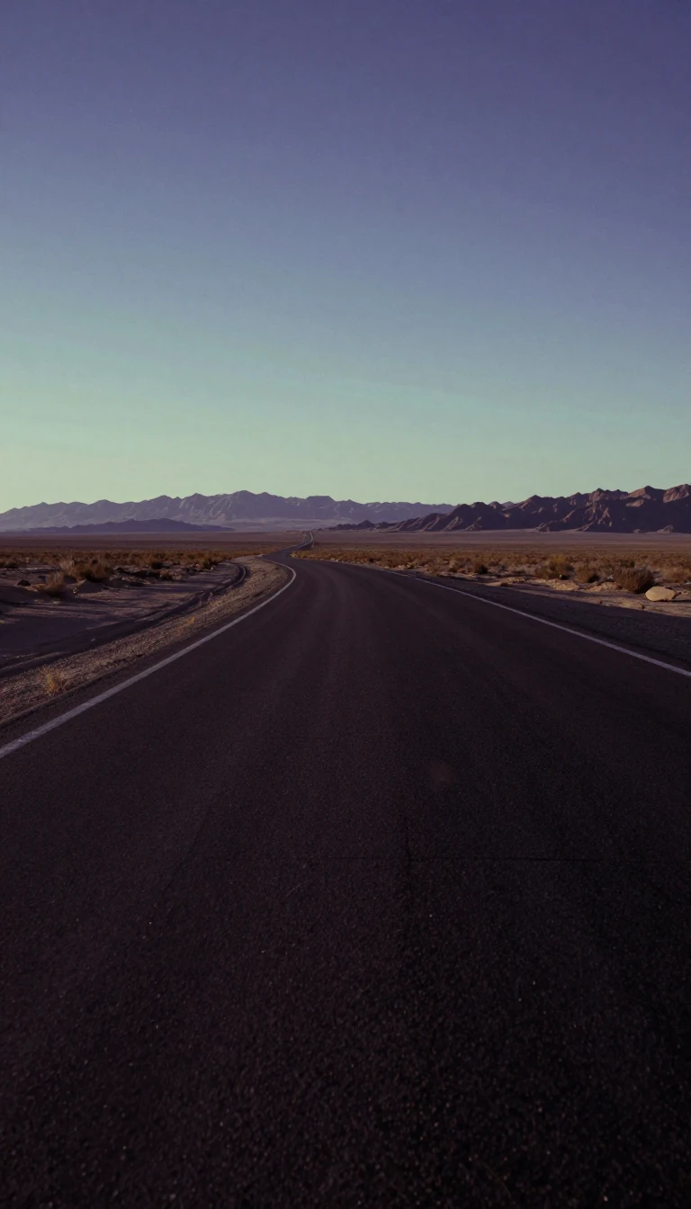
In short: Spanning 2,571 miles across the northern United States, U.S. Route 2 is a geographic anomaly. Unlike most major highways, its two segments were intentionally designed to be disconnected, separated by a stretch of Canadian territory, creating a unique corridor through the nation's northern tier.
Established in the original 1926 highway plan, U.S. Route 2 is the lowest primary-numbered east-west highway in the country. It was given the number 2 specifically to avoid the impossibility of a US 0. The western segment begins in Everett, Washington, at an interchange with I-5 and travels through the mountains and plains to St. Ignace, Michigan. The eastern segment starts in Rouses Point, New York, and concludes at I-95 in Houlton, Maine. In New England, parts of this road were previously known as New England Route 15.
Much of the western route follows the path of the Great Northern Railway, earning it the nickname "The Highline." This segment serves as a vital corridor through Montana, where the highway holds more mileage than in any other state. It traverses significant landmarks, including the southern end of Glacier National Park and the Continental Divide at Marias Pass. In North Dakota, the highway passes through a string of larger cities including Williston, Minot, and Grand Forks. In North Dakota, the road expands to four lanes for a 343-mile stretch ending just past Williston. It also passes through the town of Rugby, which contains a monument marking the geographic center of North America.
The highway's history is deeply intertwined with the Theodore Roosevelt International Highway, an auto trail organized in 1919. While the Roosevelt Highway once connected Portland, Oregon, to Portland, Maine, the modern US 2 represents a significant reconfiguration of these early routes. Over the decades, the road has seen various realignments, such as the 1946 extension that pushed the western terminus from Bonners Ferry, Idaho, all the way to Everett, Washington. The highway's westernmost end was extended from its original Idaho terminus in 1946. This expansion allowed the route to reach the Washington coast via Spokane.
Opens the Intellect+ feed with this card first. Swipe up for the next one.
Sources
- Summary by Intellect · source: U.S. Route 2
- Also: U.S. Route 2
- Also: Wikidata — U.S. Route 2 in Michigan · CC0
To cite this card, link to https://intellectplus.co.uk/app/places-u-s-route-2.
How we source, check and correct cards: Editorial standards.
General information, not professional advice. Spotted an error? Flag the card or see corrections and complaints.
Intellect Plus is a visual educational discovery platform for exploring fascinating facts and ideas. Brain Food, Not Brain Rot. What is Intellect Plus?
Related
More in Cities · More in Countries & Cities · Latest · A–Z · All topics
