Australia's vast Western Plateau is a geological puzzle of ancient rock and shifting dunes.
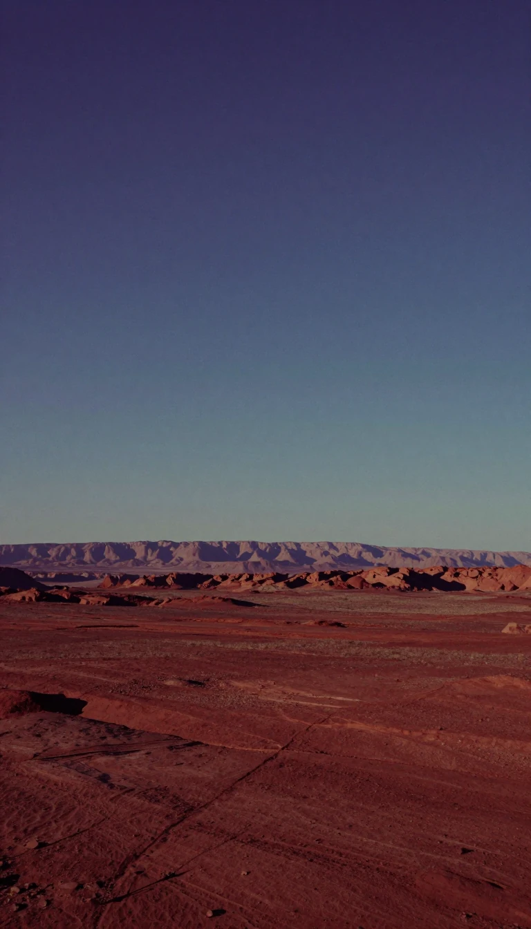
In short: Covering two-thirds of the continent, the Western Plateau is a massive, arid expanse defined by Precambrian rock and dramatic, wind-sculpted landscapes. While often perceived as a barren desert, this region holds a complex history of ancient tropical climates, hidden river networks, and structural fractures that shape its rugged terrain.
The Western Plateau is built upon a Precambrian shield, a craton subdivided by long, straight fractures known as lineaments. These structural lines delineate rectangular or rhomboidal blocks that have been raised into uplands or depressed into basins. In regions like the Kimberleys and the Pilbara, massive sandstone and ironstone formations have been dissected by erosion, creating striking plateaus, mesas, and buttes. Elsewhere, such as in the Darling Range, the landscape features upfaulted blocks capped by laterite, a reddish, iron-rich product of ancient weathering.
The region’s topography is a testament to deep time. Much of the current landscape is inherited from the Paleogene and Neogene periods, when humid tropical conditions allowed laterite to form—a process now restricted to regions like the Congo River basin. Evidence of this wetter past remains in the desiccated, salt-encrusted remnants of former river courses found across the southwest. Today, the plateau is dominated by aridity, yet even here, occasional rainfall triggers rapid erosion. Streams scour the uplands, transporting sediment to the lowlands, where wind molds the alluvium into the vast, swirling dune fields of the Simpson and Great Victoria deserts.
The plateau also contains remarkable geological anomalies. The Barkly Tableland is a high plain of extreme flatness, while the Nullarbor Plain serves as a vast karst landscape so level that the Trans-Australian Railway runs straight for 300 miles. In the northwest, isolated granite inselbergs rise dramatically above rolling plains. These diverse features, from the volcanic Gawler Ranges to the active sand ridges of the Canning Basin, illustrate a continent shaped by both the slow, grinding work of ancient tectonic forces and the persistent, episodic power of water and wind.
Opens the Intellect+ feed with this card first. Swipe up for the next one.
Sources
- Summary by Intellect · source: Australia - Plateau, Outback, Deserts | Britannica
- Also: Western Plateau
To cite this card, link to https://intellectplus.co.uk/app/places-western-plateau.
How we source, check and correct cards: Editorial standards.
General information, not professional advice. Spotted an error? Flag the card or see corrections and complaints.
Intellect Plus is a visual educational discovery platform for exploring fascinating facts and ideas. Brain Food, Not Brain Rot. What is Intellect Plus?
Related
More in Other hydrological features · More in Countries & Cities · Latest · A–Z · All topics
