Michigan is a vast, bifurcated landscape defined by its intimate relationship with Great Lakes water.
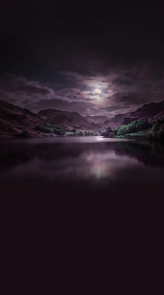
In short: Michigan is the only U.S. state composed of two distinct peninsulas, once physically separated until the Mackinac Bridge was built. With more shoreline than any state except Alaska and over 11,000 inland lakes, no point in the state is ever more than 85 miles from a Great Lake.
Michigan is defined by its two massive landmasses: the Upper Peninsula and the mitten-shaped Lower Peninsula. Before the Mackinac Bridge connected them, the state was entirely divided. The Upper Peninsula, a rugged, mountainous region in the west, is sparsely populated with only about 300,000 residents, despite covering a land area equivalent to the combined size of Connecticut, Delaware, Massachusetts, and Rhode Island. In contrast, the Lower Peninsula holds the majority of the state's land and population, characterized by generally level terrain and glacial moraines.
The state's geography is dominated by the Great Lakes, which provide a massive 38,575 square miles of territorial water. This proximity to water tempers the climate, making it milder than other regions at similar latitudes. The state’s drainage is almost entirely contained within the Great Lakes-St. Lawrence watershed, with only two tiny exceptions that drain toward the Mississippi River system. This unique hydrological position means that Michigan possesses more lighthouses than any other state, a testament to the historical importance of shipping across these inland seas.
Geologically, the state is a study in contrasts. The Upper Peninsula features ancient, primitive rock formations, including copper and iron-bearing deposits, while the Lower Peninsula is covered by secondary deposits and contains coal measures. This variation extends to the soil, which is highly fertile in the south but often rocky and unsuitable for farming in the north. With over half the state still forested, Michigan maintains the largest system of state parks and forests in the country, preserving a landscape that ranges from the Porcupine Mountains to the dunes of Lake Michigan.
Opens the Intellect+ feed with this card first. Swipe up for the next one.
Sources
- Summary by Intellect · source: Geography of Michigan
To cite this card, link to https://intellectplus.co.uk/app/science-geography-of-michigan.
How we source, check and correct cards: Editorial standards.
General information, not professional advice. Spotted an error? Flag the card or see corrections and complaints.
Intellect Plus is a visual educational discovery platform for exploring fascinating facts and ideas. Brain Food, Not Brain Rot. What is Intellect Plus?
Related
More in Mathematicians · More in Science · Latest · A–Z · All topics
