Why Yorkshire and the Humber is a region defined by its dramatic geological contrasts
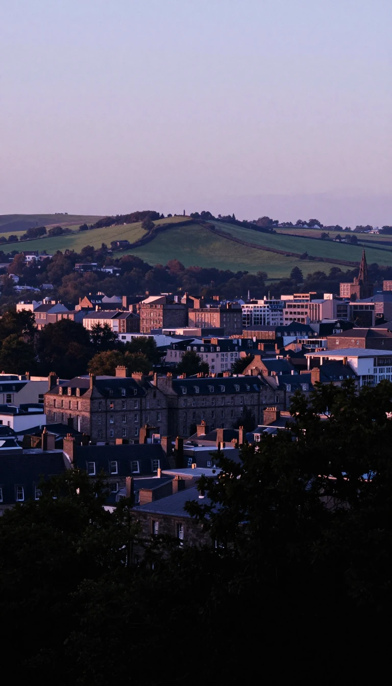
In short: From the rugged Pennine hills to the chalky uplands of the Wolds, Yorkshire and the Humber is a landscape shaped by deep time. This northern English region balances industrial hubs with ancient terrain, creating a complex identity where geography dictates everything from local weather patterns to the region's diverse transport infrastructure.
Yorkshire and the Humber is one of England's nine official statistical regions, encompassing a vast area that includes historic Yorkshire and parts of Lincolnshire. Its physical character is dictated by a clear link between topography and geology. In the west, the Pennines consist of Carboniferous rock, while the central vale is Permo-Triassic. Further north-east, the North York Moors date back to the Jurassic period, contrasting with the Cretaceous chalk uplands found in the Yorkshire and Lincolnshire Wolds.
The regional climate is heavily influenced by the Gulf Stream, which keeps winters relatively mild and summers cooler than might be expected for the latitude. However, the region experiences significant internal variation. Inland and upland cities like Sheffield, Leeds, and Bradford generally record lower temperatures than lowland settlements such as York and Hull. Weather is often unsettled due to westerly winds bringing depressions, though mobile anticyclones can provide periods of dry, settled conditions, or cold, crisp winter days.
Beyond its natural features, the region has a complex administrative and social history. Once known as Yorkshire & Humberside, the area has seen significant shifts in governance, including the abolition of the regional assembly in 2009. Demographically, it faces distinct challenges, including higher rates of cancer and lower levels of degree-educated adults compared to the national average. Despite these hurdles, the region remains a vital transport corridor, anchored by major motorways like the M62 and a rail network that includes the East Coast Main Line and the record-breaking stretch between Northallerton and Thirsk, where an InterCity 125 reached 238 km/h in 1987.
Opens the Intellect+ feed with this card first. Swipe up for the next one.
Sources
- Summary by Intellect · source: Yorkshire and the Humber
- Also: Wikidata — Yorkshire and the Humber · CC0
- Also: ONS — Yorkshire and The Humber (E12000003) - ONS
- Also: Wikidata — Yorkshire and the Humber · CC0
To cite this card, link to https://intellectplus.co.uk/app/sport-yorkshire-and-the-humber.
How we source, check and correct cards: Editorial standards.
General information, not professional advice. Spotted an error? Flag the card or see corrections and complaints.
Intellect Plus is a visual educational discovery platform for exploring fascinating facts and ideas. Brain Food, Not Brain Rot. What is Intellect Plus?
Related
More in Cricket · More in Sport & Games · Latest · A–Z · All topics
