The coastal gateway where legends of bridges and empires collide
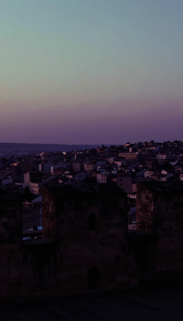
In short: Ramanathapuram, known as the entrance town of the Vaigai River, sits at a geographic crossroads of myth and power. From Hindu legends of divine bridges to the bloody maneuvers of the Carnatic Wars, this region has served as a strategic sentinel for centuries.
The region's identity is deeply rooted in the Puranic era. According to mythology, the Hindu deity Rama began his military campaign against Ravana's Lanka from Rameswaram, a sacred island city. Following his triumph, Rama is said to have designated a 'Sethupathi'—meaning bridge master—to protect the path leading to the island. This title refers to the chain of natural limestone shoals known as Adam's Bridge, or Rama Setu, which tradition claims was constructed by Rama. Historically, the area has shifted between various powers. It was briefly under the Chola dynasty in 1063 CE under Rajendra Chola I, and later fell under the Pandyan Empire until the early 15th century. By the 14th century, the Maravar caste chieftains were officially recognized as Sethupathis by the Nayak kings of Madurai, establishing a system of recognized sovereignty where the chieftains governed the land in exchange for acknowledging the Nayak kings.
The late 17th century marked a period of significant upheaval. As the Nayak kings declined, Raghunatha Kilavan asserted independence, crowning himself king of Ramnad and building massive fortifications. The region then became a theater for complex geopolitical shifts: it was occupied by the Marathas in 1741, the Nizam in 1744, and eventually became a focal point of the Carnatic Wars. During this era, the district was caught in the crossfire between the British (supporting Chanda Shahib) and the French (supporting Muhammed Ali), eventually leading to British administration in 1795.
The modern landscape of Ramanathapuram is defined by its transition from a royal seat to a district formed in 1910. While the royal family still occupies the Raja Palace, the region has evolved into a hub of education and infrastructure, notably producing figures like former President A.P.J. Abdul Kalam. Geographically, the area is also significant for its coastal features, with geographers noting that the separation of Sri Lanka from the Indian mainland by geodesic activity is visible in the sea erosion at Dhanushkodi and the Pamban channel.
Opens the Intellect+ feed with this card first. Swipe up for the next one.
Sources
- Summary by Intellect · source: Ramanathapuram
To cite this card, link to https://intellectplus.co.uk/app/wars-ramanathapuram.
How we source, check and correct cards: Editorial standards.
General information, not professional advice. Spotted an error? Flag the card or see corrections and complaints.
Intellect Plus is a visual educational discovery platform for exploring fascinating facts and ideas. Brain Food, Not Brain Rot. What is Intellect Plus?
Related
More in Early modern wars · More in Wars & Conflicts · Latest · A–Z · All topics
