The town that gave its name to a hunting dog ford
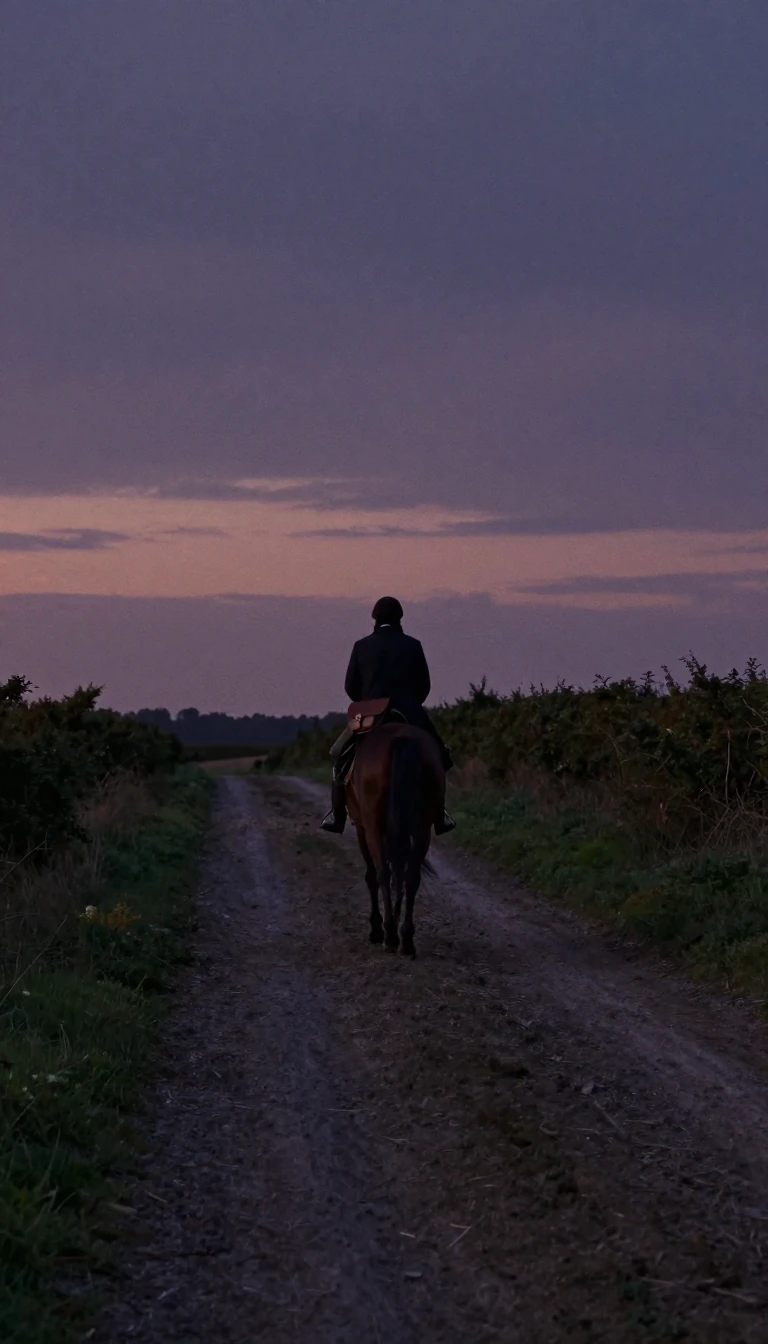
In short: Rochford’s name is a linguistic fossil, preserving a piece of Old English history. Derived from the term Rochefort, it describes a specific geographical feature: a ford used by hunting dogs. While it now serves as a modern district in Essex, its origins are rooted in the ancient landscape of the English countryside.
The name Rochford originates from the Old English term Rochefort, which literally translates to 'Ford of the Hunting Dogs.' This etymology suggests that the area was historically significant for its waterways and its role in the rural activities of the past. The town serves as the primary settlement for the wider Rochford District in the southeast of Essex, a region that balances coastal recreation with its position within the London commuter belt. The area also served as a site for the Lawless Court until the 19th century. In 1837, a group known as the Peculiar People established the first chapel there. This group were notable for their literal interpretation of the King James Bible.
The geography of the district is defined by its proximity to major estuaries. The Crouch estuary lies along its northern edge, while the Thames estuary's Southend-on-Sea urban zone sits to the south. Passing through the district's middle, the River Roach (once called the Roch) reaches the North Sea amidst mudflats, marshes, and islands. The coastline is a popular destination for sailing and various recreational activities. The River Roach flows through the center of the district before meeting the sea. The town is situated roughly 43 miles from London.
Beyond its linguistic roots, the area has a long history of administrative and social evolution. It was once an ancient parish that gave its name to the Rochford Hundred of Essex. The district has seen significant population growth, with the Rochford built-up area reaching a population of 12,615 by the 2021 census. Today, it maintains a complex local government structure consisting of parish, district, and county levels, reflecting its transition from a rural hunting ford to a populated modern community. The local parish council currently operates out of a former inn on West Street. A circular path known as the Roach Valley Way centers on the town. The district was officially formed in 1974 to replace the previous rural district.
Opens the Intellect+ feed with this card first. Swipe up for the next one.
Sources
- Summary by Intellect · source: Rochford
- Also: Rochford | England, Map, & Facts | Britannica
To cite this card, link to https://intellectplus.co.uk/app/wars-rochford.
How we source, check and correct cards: Editorial standards.
General information, not professional advice. Spotted an error? Flag the card or see corrections and complaints.
Intellect Plus is a visual educational discovery platform for exploring fascinating facts and ideas. Brain Food, Not Brain Rot. What is Intellect Plus?
Related
More in Medieval wars · More in Wars & Conflicts · Latest · A–Z · All topics
