Earth is not a perfect sphere, and its gravity changes depending on where you stand.
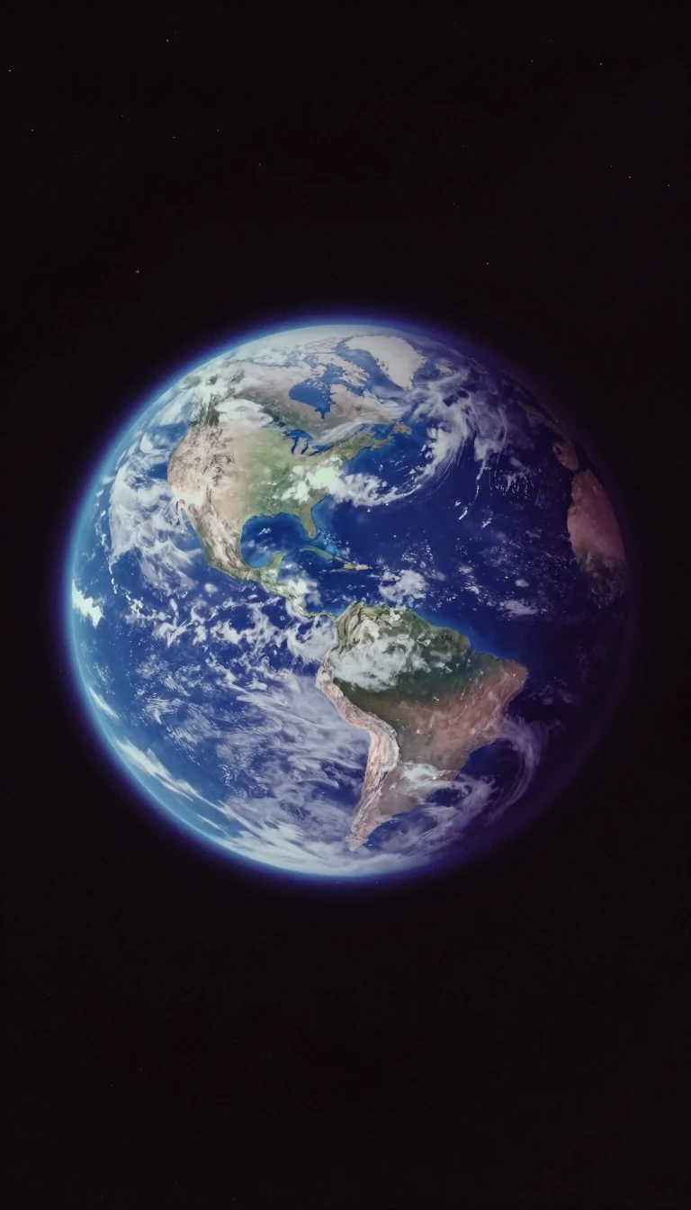
In short: We often assume gravity is a uniform force, but Earth’s uneven surface and shifting mass create subtle, invisible fluctuations. These gravity anomalies reveal everything from hidden mountains to deep ocean trenches, providing scientists with a precise, high-resolution map of our planet’s changing climate and internal structure.
Gravity is the invisible force pulling masses together, but it is not constant across the globe. While we perceive gravity as uniform, Earth’s topography—ranging from towering mountains to deep ocean trenches—creates variations in density. These fluctuations result in gravity anomalies, which represent the difference between the actual gravitational pull at a specific location and the value predicted by a theoretical model of a featureless, uniform Earth.
The study of these anomalies has a long history, dating back to 1672 when astronomer Jean Richer noticed his pendulum clock ran slowly in Cayenne compared to Paris. Isaac Newton later explained this by noting that Earth’s rotation causes an equatorial bulge, making locations near the equator further from the planet's center and subject to stronger centrifugal force. Today, scientists use sophisticated tools like the Gravity Recovery and Climate Experiment (GRACE) mission, launched in March 2002, to map these fields with unprecedented precision.
GRACE provides global coverage every 30 days, allowing researchers to distinguish between the mean gravity field—caused by long-term features like mountains—and the time-variable gravity field. The latter is driven by the movement of water across the planet, including groundwater fluctuations, melting glaciers, and shifting polar ice caps. By measuring these subtle changes, scientists can track sea-level rise and ocean heat flux, turning gravity into a vital diagnostic tool for understanding our changing climate.
To isolate these anomalies, scientists must apply various corrections to raw measurements, accounting for factors like altitude, local terrain, and tidal forces from the Sun and Moon. These corrections are essential for creating an accurate geoid, a hypothetical surface representing mean sea level. As models improve, they enhance the accuracy of everything from cartography to satellite altimetry, proving that even the most invisible forces can be mapped to reveal the hidden mechanics of our world.
Opens the Intellect+ feed with this card first. Swipe up for the next one.
Sources
- Summary by Intellect · source: GRACE Fact Sheet - NASA Science
- Also: Gravity anomaly
To cite this card, link to https://intellectplus.co.uk/app/culture-gravity-anomaly.
How we source, check and correct cards: Editorial standards.
General information, not professional advice. Spotted an error? Flag the card or see corrections and complaints.
Intellect Plus is a visual educational discovery platform for exploring fascinating facts and ideas. Brain Food, Not Brain Rot. What is Intellect Plus?
Related
More in Festivals & celebrations · More in Cultures · Latest · A–Z · All topics
