A Louisiana landscape shaped by ancient mounds and shifting borders
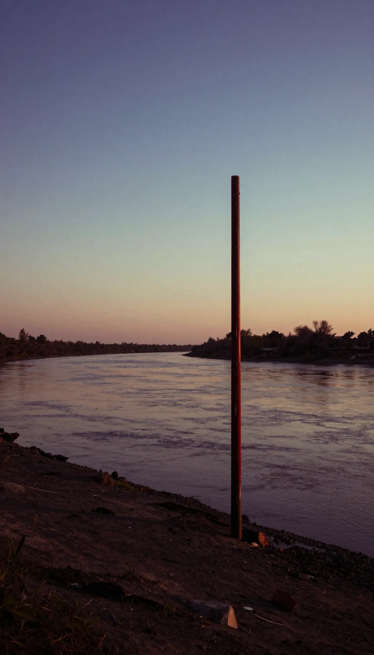
In short: Catahoula Parish was once home to the second-tallest mound in North America. Today, it is a rural expanse defined by its complex history of boundary changes, diverse cultural layers, and a unique geological identity that stretches across 709 square miles of Louisiana land.
The geography of Catahoula Parish is a palimpsest of human activity spanning millennia. Long before European settlement, the area was inhabited by successive Native American groups, including the Marksville, Troyville, Coles Creek, and Plaquemine cultures. These groups constructed significant earthworks and mound sites, such as the Troyville Earthworks (dating from 100 BCE to 700 CE) and Peck Mounds. Notably, the parish once hosted the tallest mound in Louisiana, standing 82 feet high—making it the second-tallest in North America, surpassed only by Monk's Mound at Cahokia. This landmark was eventually destroyed to facilitate the construction of the Jonesville bridge over the Black River.
The modern boundaries of the parish have been remarkably fluid. Formed in 1808 following the Louisiana Purchase, Catahoula was originally a much larger territory. As the region developed, it was carved up to create new parishes, such as La Salle Parish in 1910. Because of these frequent reorganizations, Catahoula has experienced the third-most boundary changes of any parish in the state since early U.S. settlement, trailing only Natchitoches and Ouachita.
Demographically and economically, the parish remains deeply rural, with 100% of its residents living in non-urban areas. As of the 2020 census, it had a population of 8,906 people. While the area has a history of plantation agriculture and diverse migration patterns—including British and Protestant migrants from the southern U.S. and African-American slaves—it currently faces significant economic challenges. About 28.1% of the population lives below the poverty line, with a notably higher rate of 41.8% among residents under the age of 18.
Opens the Intellect+ feed with this card first. Swipe up for the next one.
Sources
- Summary by Intellect · source: Catahoula Parish, Louisiana
- Also: data.census.gov — Catahoula Parish, Louisiana - Census Bureau Profile
To cite this card, link to https://intellectplus.co.uk/app/health-catahoula-parish-louisiana.
How we source, check and correct cards: Editorial standards.
General information, not professional advice. Spotted an error? Flag the card or see corrections and complaints.
Intellect Plus is a visual educational discovery platform for exploring fascinating facts and ideas. Brain Food, Not Brain Rot. What is Intellect Plus?
