Iran's geography is defined by a ring of massive mountains
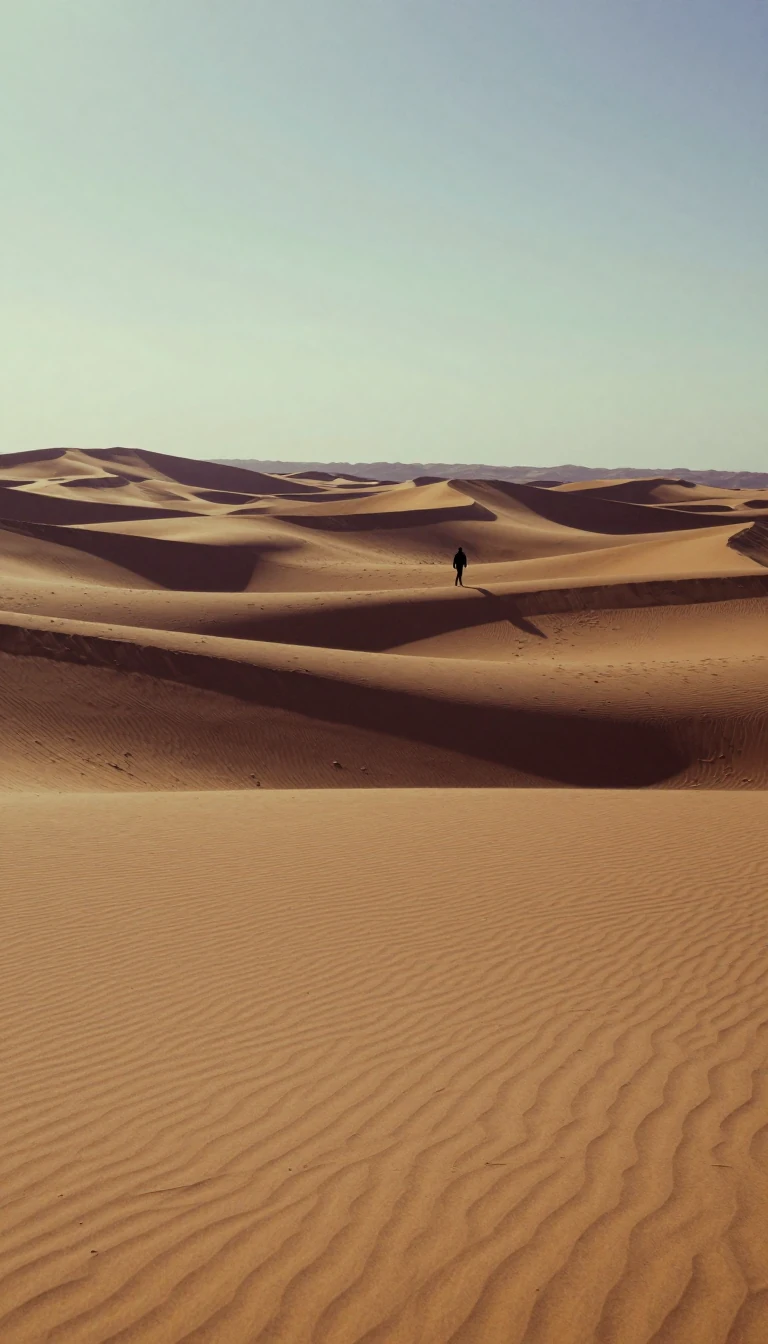
In short: Most of Iran sits above 1,500 feet, enclosed by a formidable ring of eroded mountain ranges. This rugged topography creates a land of sharp contrasts: from 10,000-foot summits plunging to marshes below sea level, to vast, arid interior plateaus where water is a precious, often seasonal, commodity.
The Iranian landscape is dominated by a high interior basin surrounded by massive mountain chains. The Zagros Mountains stretch from the northwest borders with Turkey and Iraq down to the Strait of Hormuz, forming a band of parallel ridges about 125 miles wide. To the north, the Alborz Mountains run along the Caspian Sea, featuring Mount Damavand, the country's highest peak at approximately 18,605 feet. These ranges create a natural fortress, historically isolating the country's major basins from one another until the 20th century.
The interior is characterized by an arid plateau featuring the Kavīr and Lūt deserts. In these low-lying basins, evaporation creates salt wastes known as kavīrs. While the land is extremely rugged and difficult to access, it supports pastoral nomads who practice transhumance—moving herds between seasonal pastures.
This geographic isolation meant that, historically, transportation relied on caravans navigating mountain gaps and passes rather than navigable river systems. Water management is a critical mechanism for survival in this environment. While there are three large rivers, only the Karun is navigable. Other vital sources, like the Zayandeh River, are managed through significant engineering, such as the Kūhrang Dam completed in 1971, which diverts water for irrigation. The region is also geologically volatile; frequent and violent earthquakes, including a 1990 tremor that killed 50,000 people and a 2003 quake that leveled the town of Bam, underscore the power of the tectonic activity shaping this terrain.
Opens the Intellect+ feed with this card first. Swipe up for the next one.
Sources
- Summary by Intellect · source: Iran - Mountains, Plateaus, Deserts | Britannica
- Also: Geography of Iran
To cite this card, link to https://intellectplus.co.uk/app/history-geography-of-iran.
How we source, check and correct cards: Editorial standards.
General information, not professional advice. Spotted an error? Flag the card or see corrections and complaints.
Intellect Plus is a visual educational discovery platform for exploring fascinating facts and ideas. Brain Food, Not Brain Rot. What is Intellect Plus?
Related
More in History by ethnicity · More in History · Latest · A–Z · All topics
