Kerman is Iran's largest province, a land of ancient deserts and high-altitude volcanoes.
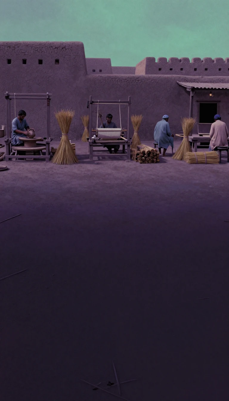
In short: Spanning nearly 11% of Iran's total landmass, Kerman province is a vast, rugged territory defined by extreme geography. From the world's largest adobe structure to the highest iron mines in the nation, this southeastern region balances harsh, wind-carved desert landscapes with fertile oases and a rich, multi-layered history.
Kerman province, known in antiquity as the Achaemenid satrapy of Carmania, occupies 183,285 square kilometers in southeastern Iran. Its landscape is dominated by the continuation of central Iranian mountain ranges, featuring extinct volcanoes like Kuh-e Hazaran, which reaches 4,501 meters above sea level. These mountains create vast plains and sheltered valleys, though much of the region remains steppe or sandy desert, including parts of the Dasht-e Lut.
The province's history is as complex as its terrain. Once home to the Sasanian Empire's southern quarter, the region has seen waves of influence from the Arab conquest to the Mongol and Timurid empires. The city of Kerman itself, potentially founded by Ardashir I in the 3rd century, has survived repeated sackings by Uzbeks and Afghan tribesmen. Today, it remains a vital economic hub, housing the Arg e Jadid special economic zone and the Gol Gohar iron mine, the largest of its kind in Iran.
Water scarcity has historically dictated life in Kerman, forcing reliance on qanats—ancient underground channels—to sustain agriculture. Despite the arid climate, the province is a global leader in pistachio production and is famous for its carpets. The population, which reached over 3.1 million by 2016, is a diverse mix of tribal groups, including the Baloch, Afshar, and Jebalbarezi, reflecting the region's long-standing role as a crossroads for nomadic and settled cultures alike.
Natural disasters have frequently reshaped the province. The 2003 earthquake destroyed the historic Arg-e Bam, the world's largest adobe structure, while a 2005 tremor devastated the town of Zarand. Conversely, flooding has occasionally revealed hidden history, such as the ancient city of Jiroft. These events underscore the province's vulnerability to its own volatile environment, even as it continues to modernize through industrial development and infrastructure projects like gas pipelines.
Opens the Intellect+ feed with this card first. Swipe up for the next one.
Sources
- Summary by Intellect · source: Kerman province
- Also: Wikidata — Kerman Province · CC0
- Also: Wikidata — Kerman Province Football League · CC0
To cite this card, link to https://intellectplus.co.uk/app/places-kerman-province.
How we source, check and correct cards: Editorial standards.
General information, not professional advice. Spotted an error? Flag the card or see corrections and complaints.
Intellect Plus is a visual educational discovery platform for exploring fascinating facts and ideas. Brain Food, Not Brain Rot. What is Intellect Plus?
Related
More in Regions and country subdivisions · More in Countries & Cities · Latest · A–Z · All topics
