The volcanic archipelago of Cabo Verde was entirely uninhabited until Portuguese arrival in the 1400s.
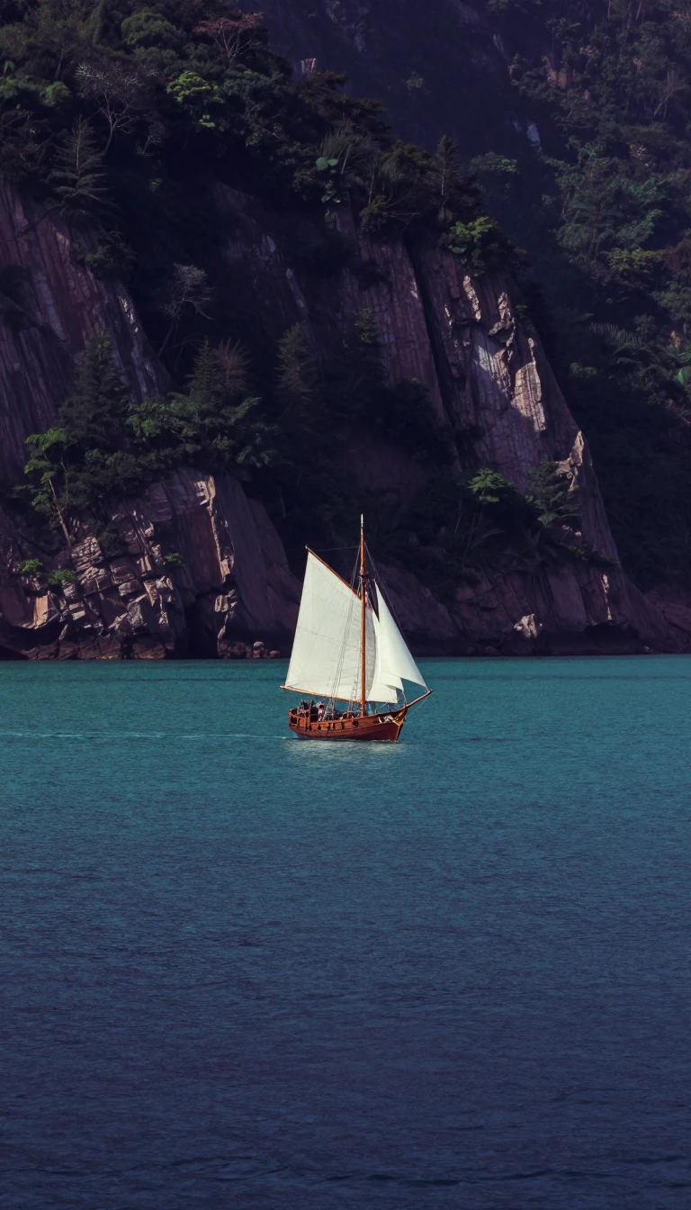
In short: Located 385 miles off the African coast, this group of islands served as a vital maritime fueling station for centuries. Though now a stable multiparty republic, the archipelago’s history is defined by its rugged, volcanic terrain, a legacy of the transatlantic slave trade, and a unique, resilient cultural identity.
Cabo Verde consists of nine inhabited islands and one uninhabited island, divided into the northern Barlavento and southern Sotavento groups. The archipelago’s physical character is a study in geological contrast: the eastern islands, such as Sal and Boa Vista, are flat and heavily eroded by wind, while the western islands are jagged and mountainous. Fogo Island hosts the archipelago's highest point, the active Pico volcano, which rises 9,281 feet above sea level.
The islands were uninhabited until Portuguese colonization began in the mid-15th century. By the 16th century, the archipelago had become a prosperous hub within the transatlantic slave trade, leveraging its position on major maritime routes. The economy relied on slave plantations producing sugar and cotton, as well as the export of salt and livestock. This period established a deeply hierarchical society, ranging from Portuguese officials to enslaved populations, which shaped the archipelago's social structure for centuries.
Today, the nation faces significant environmental challenges, including chronic water shortages and cyclical droughts. Because the islands lack sufficient humus and water for large-scale agriculture, most land is suitable only for grazing. Since gaining independence, the government has prioritized reforestation and anti-erosion campaigns to combat soil loss. Despite these harsh conditions, the islands maintain a distinct identity, with Cabo Verdean Creole serving as the national language alongside official Portuguese.
The archipelago’s climate is dictated by the intertropical convergence zone, which brings unpredictable precipitation. While winter winds from Europe remain cool and dry, summer months can bring moisture from the Guinea Current. These clashing weather fronts occasionally generate hurricanes that track toward the Caribbean and the United States. With a population projected to reach 619,000 by 2030, the nation continues to navigate its environmental constraints while maintaining its role as a strategic Atlantic crossroads.
Opens the Intellect+ feed with this card first. Swipe up for the next one.
Sources
- Summary by Intellect · source: History of Cabo Verde | Events, People, Dates, & Facts | Britannica
- Also: History of Cape Verde
To cite this card, link to https://intellectplus.co.uk/app/history-history-of-cape-verde.
How we source, check and correct cards: Editorial standards.
General information, not professional advice. Spotted an error? Flag the card or see corrections and complaints.
Intellect Plus is a visual educational discovery platform for exploring fascinating facts and ideas. Brain Food, Not Brain Rot. What is Intellect Plus?
Related
More in History by country, small region and city · More in History · Latest · A–Z · All topics
