Santo Antão: A rugged volcanic fortress of terraced agriculture and rare endemic flora
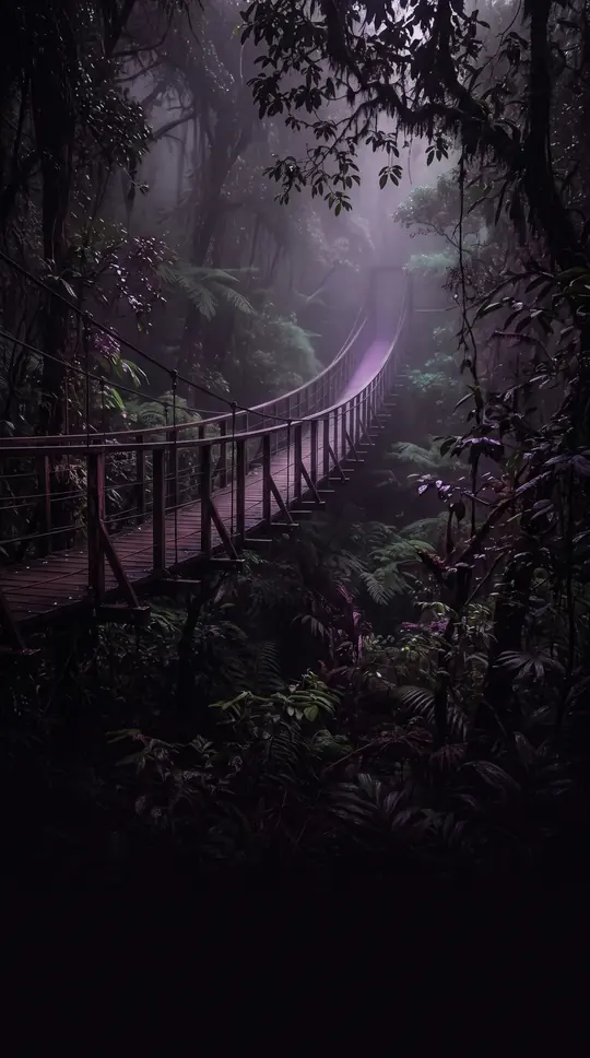
In short: As the northwesternmost island of Cape Verde, Santo Antão is a mountainous landscape defined by steep river valleys and high plateaus. While its southern coast remains a hot desert, the island's unique topography creates a diverse climate that supports a surprising array of rare, endangered plant species found nowhere else.
Discovered by Diogo Afonso in 1461 or 1462, Santo Antão is the second-largest island in the Cape Verde archipelago, covering 785 square kilometers. Its dramatic elevation is dominated by the 1,979-meter peak of Tope de Coroa. Because of this extreme verticality, the island experiences a sharp climate gradient: coastal areas are arid, while higher elevations above 1,000 meters host a cool, subtropical steppe environment. This moisture-trapping ability at altitude provides a crucial buffer against the drought conditions that frequently challenge the region.
The island's economy has historically relied on agriculture, though its mountainous terrain necessitates labor-intensive terrace farming rather than mechanized methods. Farmers cultivate crops like sugar cane, yams, and bananas, with the production of a local rum called grogue serving as a signature industry. For nearly two decades, agricultural exports were stifled by a quarantine due to a millipede blight, but this restriction was lifted in 2008. Today, the island is pivoting toward rural tourism, leveraging its rugged beauty for hiking and trekking.
Santo Antão is a biodiversity hotspot, boasting the highest number of endangered flora species in the nation. Among its unique botanical treasures are Tornabenea insularis and Tornabenea ribeirensis, which are found exclusively on this island. The local fauna is more modest, featuring specific insects like the water bear Echiniscus clavispinosus and the moth Scopula paneliusi. Administratively, the island is divided into three municipalities—Ribeira Grande, Paul, and Porto Novo—which have evolved through various mergers and separations since the first municipality was established in 1732.
The island's human history is marked by steady development, with the population growing from an estimated 24,000 in the 1830s to 38,200 by mid-2019. While Portuguese serves as the official language, the majority of the population communicates in Cape Verdean Creole. As the island continues to modernize, recent efforts to implement drip irrigation are helping to mitigate the persistent threat of drought, ensuring that this volcanic outpost remains a viable home for its resilient inhabitants.
Opens the Intellect+ feed with this card first. Swipe up for the next one.
Sources
- Summary by Intellect · source: Santo Antão, Cape Verde
- Also: Wikidata — history of Santo Antão, Cape Verde · CC0
To cite this card, link to https://intellectplus.co.uk/app/places-santo-ant-o-cape-verde.
How we source, check and correct cards: Editorial standards.
General information, not professional advice. Spotted an error? Flag the card or see corrections and complaints.
Intellect Plus is a visual educational discovery platform for exploring fascinating facts and ideas. Brain Food, Not Brain Rot. What is Intellect Plus?
Related
More in Islands · More in Countries & Cities · Latest · A–Z · All topics
