Libya’s desert landscape hides a deep history of ancient civilizations and shifting regional power.
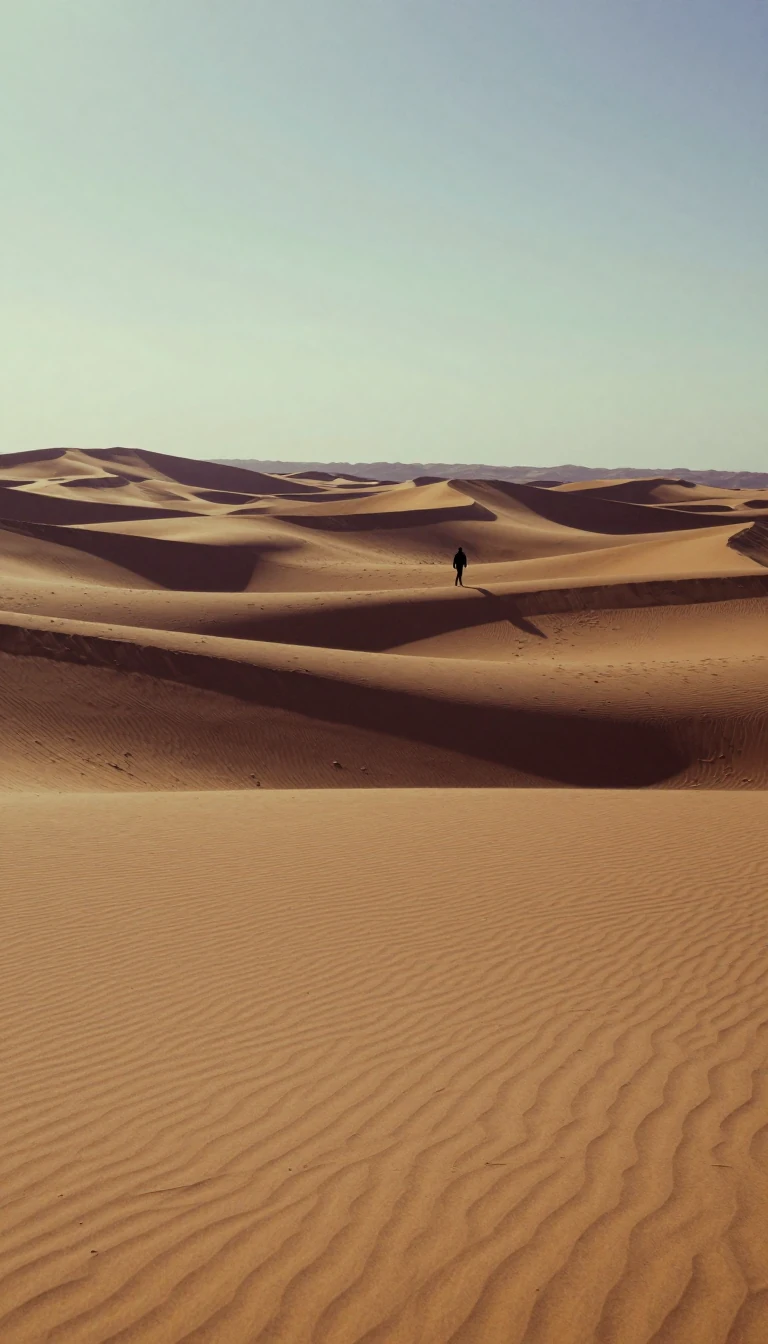
In short: Libya is defined by three distinct historical regions: Tripolitania, Cyrenaica, and Fezzan. While today it is known for its vast Sahara desert and oil wealth, the land was once a green landscape supporting Neolithic cultures and later became a strategic crossroads for Phoenician, Greek, and Roman empires across North Africa.
Libya’s geography is dominated by the Sahara, which covers about nine-tenths of the country. However, this arid environment was not always so harsh. Tens of thousands of years ago, the region featured lakes, forests, and a temperate climate. Archaeological evidence suggests Neolithic peoples inhabited the coastal plains as early as 8000 BCE, relying on cattle domestication and crop cultivation before intense aridification transformed the landscape into the desert seen today.
The country’s modern identity is a relatively recent construct. Historically, Tripolitania in the northwest and Cyrenaica in the east were often more connected to neighboring territories than to each other. Under Ottoman rule, these areas were treated as separate provinces. It was only during the period of Italian colonial rule that they were unified into a single colony, eventually forming the basis for the independent Libyan state.
The discovery of petroleum in the late 1950s fundamentally altered Libya’s economic trajectory. Before this, the nation was largely dependent on foreign aid and imports. With oil revenues, the government established a welfare state providing education and medical care, though political power remained concentrated within an authoritarian framework. This system faced a major turning point in 2011, when an armed revolt ended the long-standing regime of Muammar al-Qaddafi.
Today, Libya’s population is concentrated along the Mediterranean coast, particularly in major cities like Tripoli and Benghazi. While the interior remains sparsely populated, the Fezzan region in the southwest contains oasis settlements and fossil aquifers. Ambitious infrastructure projects, such as the Great Man-Made River, were designed to tap these underground water reserves, highlighting the ongoing effort to sustain life and agriculture in a country where permanent rivers are entirely absent.
Opens the Intellect+ feed with this card first. Swipe up for the next one.
Sources
- Summary by Intellect · source: Libya | History, People, Map, & Government | Britannica
- Also: History of Libya
To cite this card, link to https://intellectplus.co.uk/app/history-history-of-libya.
How we source, check and correct cards: Editorial standards.
General information, not professional advice. Spotted an error? Flag the card or see corrections and complaints.
Intellect Plus is a visual educational discovery platform for exploring fascinating facts and ideas. Brain Food, Not Brain Rot. What is Intellect Plus?
Related
More in History by country, small region and city · More in History · Latest · A–Z · All topics
