A wartime supply route that became a legendary, ever-shifting road across the North
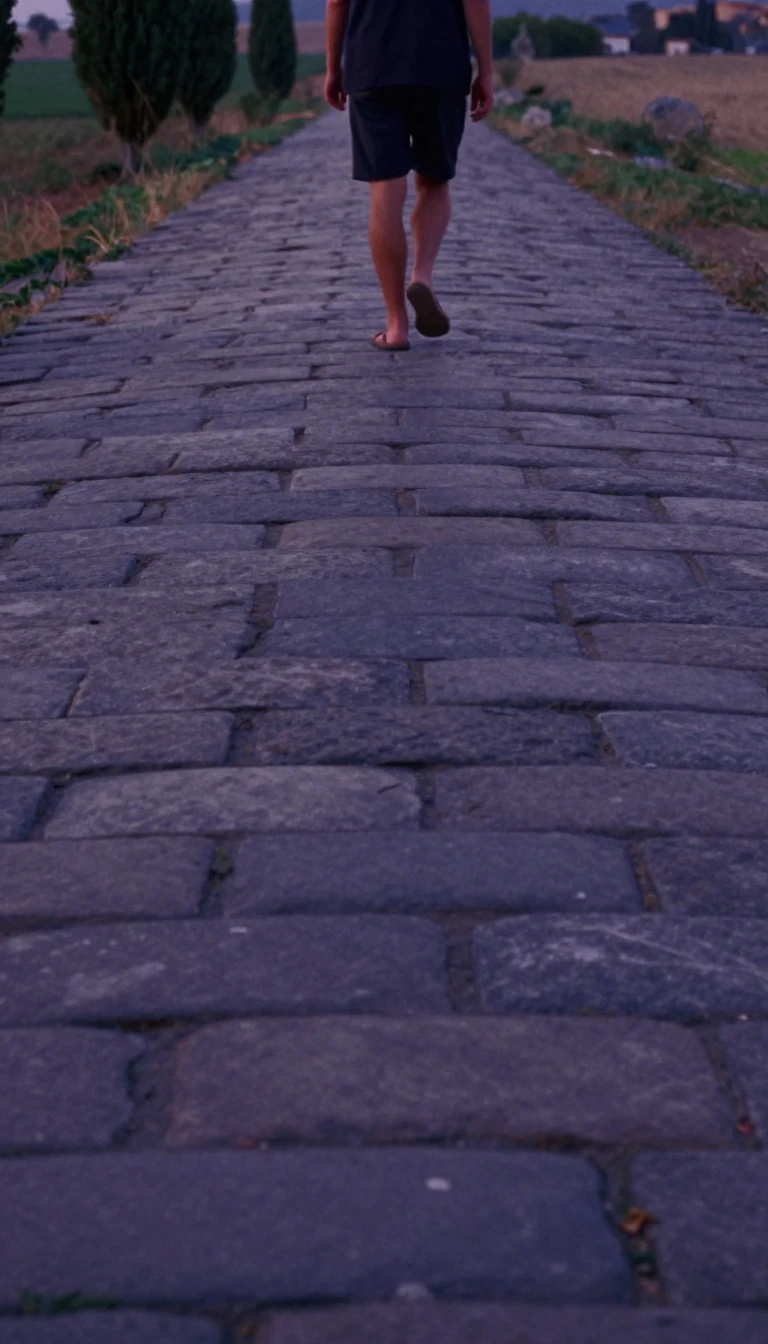
In short: Built in a frantic rush during World War II to defend against a potential Japanese invasion, the Alaska Highway was once a rough, challenging trail of mud and oil cans. Today, it is a fully paved artery, though its constant realignments make its historic mileposts more symbolic than accurate.
The Alaska Highway was born from military necessity rather than economic planning. While proposals for a northern road surfaced in the 1920s, the project stalled until the December 1941 attack on Pearl Harbor. With the Aleutian Islands under threat, the U.S. Army Corps of Engineers received authorization in February 1942 to construct a supply route from Dawson Creek, British Columbia, to Delta Junction, Alaska. The project was a massive logistical feat, utilizing over 10,000 men, including segregated African-American regiments, who worked through frozen marshlands and rugged terrain to complete the pioneer road by October 1942.
The construction was fraught with difficulty and controversy. Crews faced harsh conditions, and the project had a devastating impact on the local Indigenous population, particularly at the village of Champagne, where disease outbreaks decimated the community. Despite the immense effort, the highway proved largely unnecessary for the war effort; 99 percent of supplies reached Alaska by sea. Following the war, the U.S. transferred control of the Canadian sections to the Canadian Army in 1946, and the route has been subject to continuous upgrades and realignments ever since.
Today, the highway is a shadow of its original self in terms of length and path. Constant efforts to straighten the road, eliminate steep grades, and bypass residential areas have shortened the route significantly. Because these realignments are ongoing, the traditional mileposts no longer reflect actual driving distances. While the Yukon and British Columbia governments have recalibrated their kilometre posts to match modern reality, the historic mileposts remain in place as cultural markers. This creates a unique geography where the road's physical location and its official signage are in a state of perpetual, slow-motion flux.
Opens the Intellect+ feed with this card first. Swipe up for the next one.
Sources
- Summary by Intellect · source: Alaska Highway
To cite this card, link to https://intellectplus.co.uk/app/nature-alaska-highway.
How we source, check and correct cards: Editorial standards.
General information, not professional advice. Spotted an error? Flag the card or see corrections and complaints.
Intellect Plus is a visual educational discovery platform for exploring fascinating facts and ideas. Brain Food, Not Brain Rot. What is Intellect Plus?
Related
More in Physical geography · More in Nature · Latest · A–Z · All topics
