How meteorologists use satellite images to estimate the power of invisible tropical storms
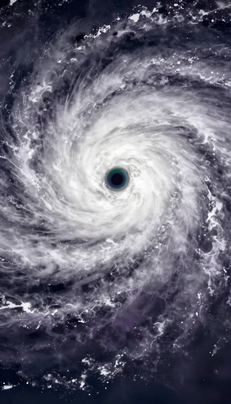
In short: Before aircraft reconnaissance, tracking a hurricane's strength was guesswork. Developed by Vernon Dvorak between 1969 and 1984, the Dvorak technique revolutionized meteorology by using satellite imagery to identify predictable cloud patterns. It allows experts to estimate wind speeds and central pressure even when a storm is far out at sea.
The Dvorak technique relies on the principle that tropical cyclones evolve in a predictable manner as they strengthen. By analyzing visible and infrared satellite imagery, analysts identify specific structural features—such as curved bands, central dense overcast (CDO) regions, or the presence of an eye. These patterns are compared against a standardized model to assign a T-number, which correlates to the storm's intensity on a scale from 1 to 8.
For storms with an eye, the technique measures the temperature contrast between the warm eye and the surrounding cold cloud tops; generally, colder tops indicate a more intense cyclone. While human analysts initially performed this work, the process is prone to subjective bias. To combat this, the Objective Dvorak Technique (ODT) was introduced in 1998, utilizing computer algorithms to reduce human error, though it still requires manual center placement. By 2004, an advanced version was developed to better determine the center and handle systems below hurricane strength.
Despite its utility, the technique has limitations. It struggles with subtropical cyclones and storms undergoing extratropical transition, necessitating alternative methods like the Hebert-Poteat or Miller and Lander techniques. Furthermore, rapid intensity changes can sometimes exceed the system's built-in constraints, which limit how much a storm's T-number can shift in a 24-hour period. Nevertheless, the Dvorak technique remains a cornerstone of global tropical cyclone monitoring, providing essential data where aircraft reconnaissance is impossible.
The accuracy of these estimates has improved significantly over time, with modern measurements often falling within 5 miles per hour of aircraft-verified data. However, the technique is least certain for storms with sustained winds between 60 and 100 miles per hour. As satellite technology advances, the integration of higher-resolution imagery and automated processing continues to refine our ability to predict the behavior of these powerful weather systems.
Opens the Intellect+ feed with this card first. Swipe up for the next one.
Sources
- Summary by Intellect · source: Dvorak technique
To cite this card, link to https://intellectplus.co.uk/app/nature-dvorak-technique.
How we source, check and correct cards: Editorial standards.
General information, not professional advice. Spotted an error? Flag the card or see corrections and complaints.
Intellect Plus is a visual educational discovery platform for exploring fascinating facts and ideas. Brain Food, Not Brain Rot. What is Intellect Plus?
Related
More in Air · More in Nature · Latest · A–Z · All topics
