Haiti’s name translates to Mountainous Land, reflecting a rugged, limestone-rich Caribbean landscape.
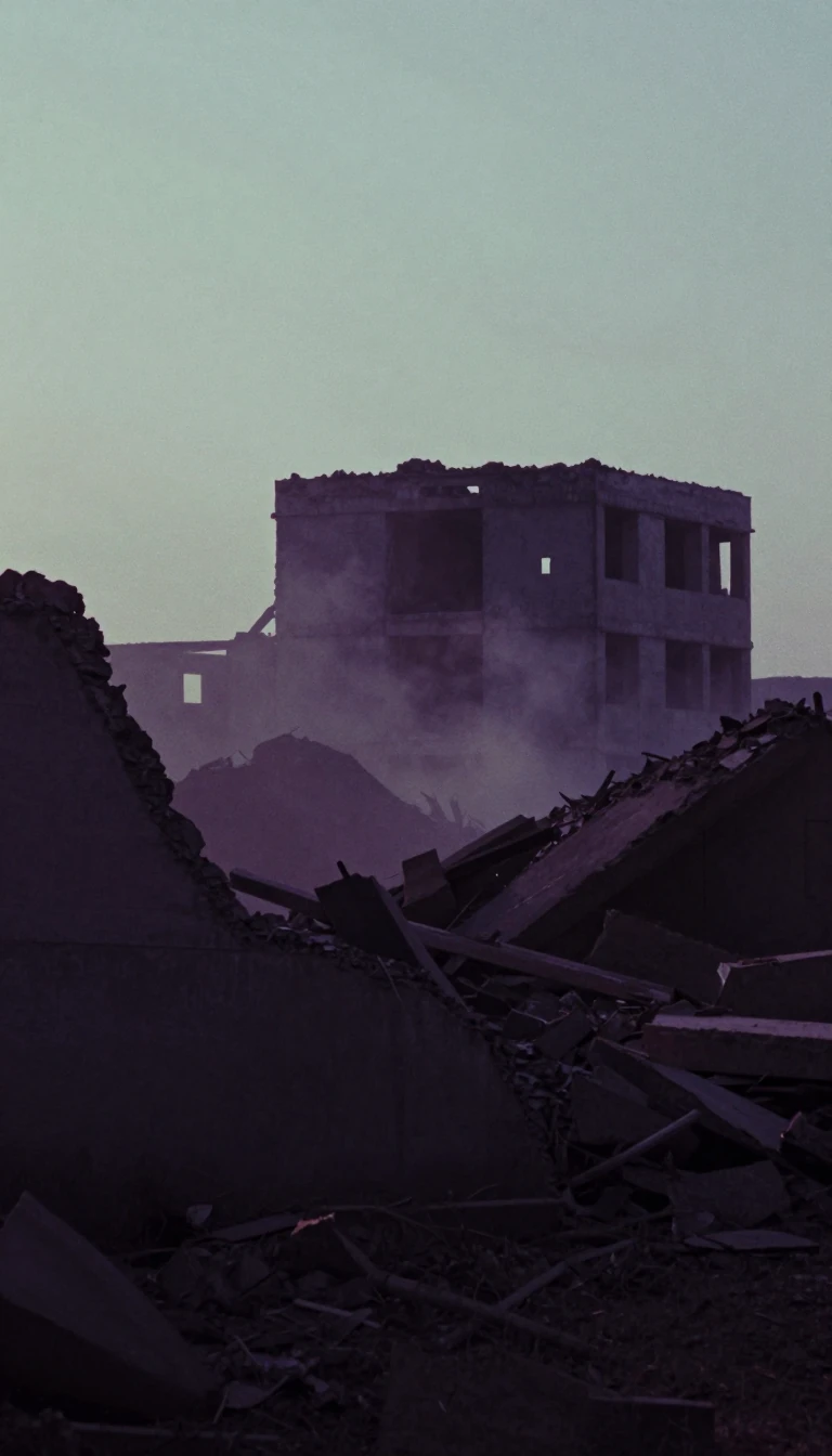
In short: Haiti occupies the western third of Hispaniola, a nation defined by dramatic elevation and complex topography. While its shores are rimmed with cliffs and coral reefs, the country’s interior is a series of parallel mountain ranges, shaping everything from its climate and agriculture to the history of its people.
The name Haiti originates from the Indigenous Arawak term Ayti, meaning Mountainous Land. This description is accurate, as roughly two-thirds of the nation sits at an elevation above 1,600 feet (490 meters). The country’s backbone is formed by four major mountain ranges running west to east. The highest point, Mount Selle, reaches 8,773 feet (2,674 meters) within the Massif de la Selle range. These mountains are primarily limestone, which has created distinct karstic features throughout the country, including subterranean rivers, grottoes, and limestone caves.
Between these rugged ranges lie limited but highly productive plains, which serve as the primary agricultural hubs and the most densely populated regions. The Artibonite River, the longest in the country at approximately 175 miles (280 km), flows through the Central Plateau before reaching the Gulf of Gonâve. In the mid-20th century, the river was impounded to form Lake Péligre, which began supporting a hydroelectric complex in 1971. However, the reliability of this power source has historically fluctuated during the dry season, illustrating the ongoing challenges of managing the nation's natural resources.
Haiti’s geography is further defined by its irregular coastline, which features two prominent peninsulas separated by the triangular Gulf of Gonâve. The surrounding waters are known for extensive coral reefs, while the coastline itself is indented with natural harbors. Despite the presence of numerous rivers, most are short and unsuitable for navigation. This challenging, mountainous terrain has shaped the development of the country, influencing both the isolation of interior regions and the concentration of life along the more accessible coastal plains.
Opens the Intellect+ feed with this card first. Swipe up for the next one.
Sources
- Summary by Intellect · source: Haiti | History, Geography, Map, Population, 2026 FIFA World Cup, & Culture | Britannica
- Also: Haitians
To cite this card, link to https://intellectplus.co.uk/app/nature-haitians.
How we source, check and correct cards: Editorial standards.
General information, not professional advice. Spotted an error? Flag the card or see corrections and complaints.
Intellect Plus is a visual educational discovery platform for exploring fascinating facts and ideas. Brain Food, Not Brain Rot. What is Intellect Plus?
Related
More in Physical geography · More in Nature · Latest · A–Z · All topics
