Kanyakumari: The Southern Tip Where Three Oceans Meet and Ancient Legends Converge
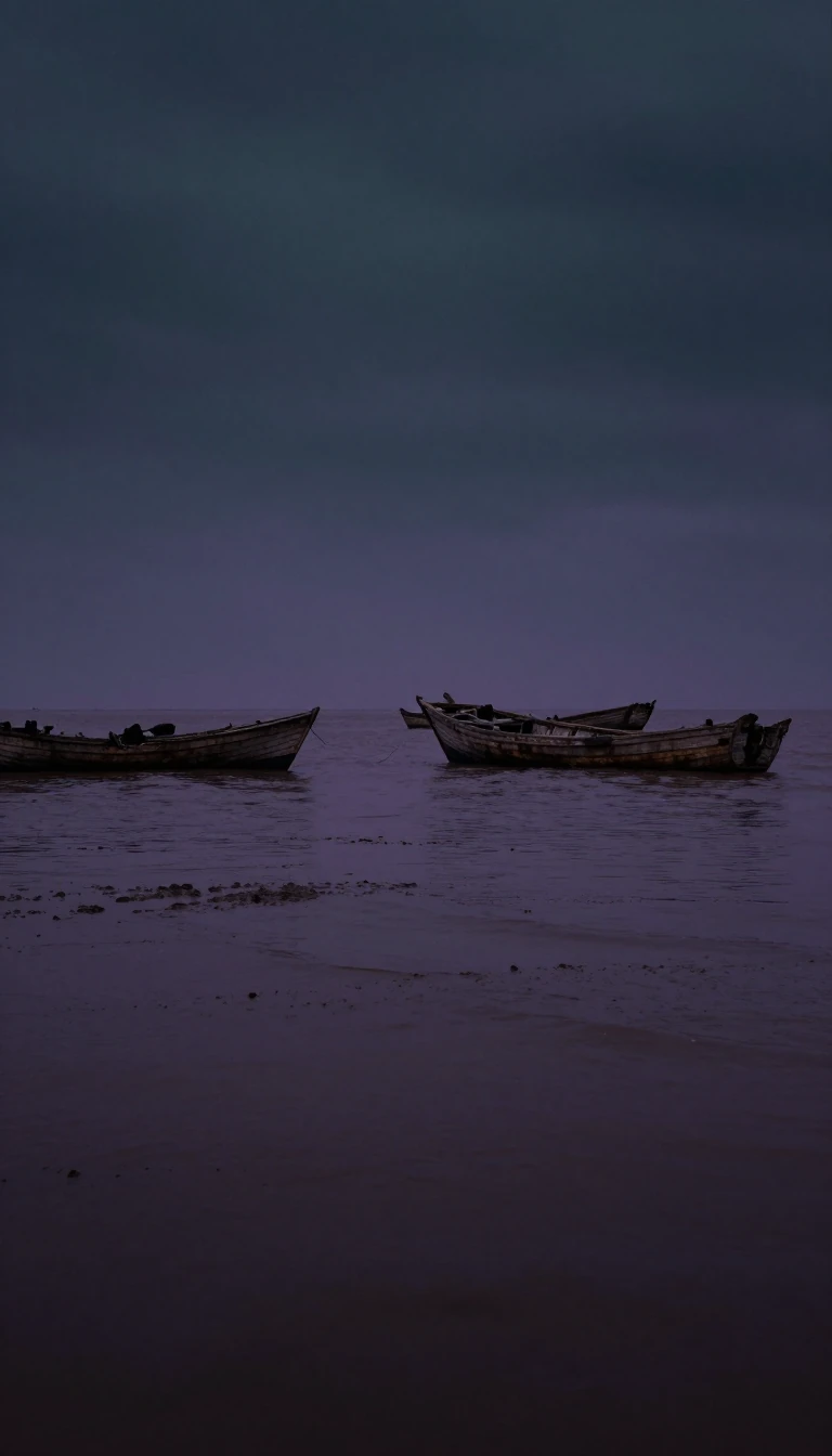
In short: Known as the Land's End, Kanyakumari marks the southernmost point of mainland India. This coastal town is a convergence of geography and mythology, where the Laccadive Sea meets the Bay of Bengal and the Arabian Sea, and where ancient temples and modern monuments stand as testaments to India's enduring cultural history.
Located at 8.08°N 77.57°E, Kanyakumari serves as the dramatic terminus of the Indian subcontinent. The town sits at the confluence of the Western and Eastern Ghats, bordered on three sides by the Laccadive Sea. While often cited as the country's southern extremity, the absolute southernmost point of the Republic of India is actually Indira Point on Great Nicobar Island. Historically, the town has been a significant cultural landmark since the Sangam period, appearing in the accounts of travelers like Marco Polo and Ptolemy.
The town's identity is deeply intertwined with the goddess Kanya Kumari, an avatar of Parvati. According to local legend, the goddess was to marry Shiva, but when he failed to arrive, the wedding feast remained uncooked. It is believed that the small, rice-like stones found on the shore today are the remnants of that unsolemnized wedding. This narrative is reflected in the town's name, which translates to 'The Unmarried Girl.' The local Bhagavathy Amman Temple, a 3,000-year-old site, is considered a sacred Shakta pitha and is mentioned in ancient texts including the Ramayana and Mahabharata.
Beyond its religious significance, Kanyakumari hosts monumental tributes to Indian history and philosophy. The 41-metre Thiruvalluvar Statue, completed in 2000, stands on a rock pedestal representing the chapters of the Thirukkural, while the Vivekananda Rock Memorial commemorates the enlightenment of Swami Vivekananda. Nearby, the Gandhi Memorial Mandapam is architecturally aligned so that the sun's rays strike the site of the Mahatma's ashes every October 2nd. The area's unique biodiversity is also celebrated in local lore; the Marunthuvazh Malai hills are said to have been formed when Hanuman dropped a piece of earth while carrying medicinal herbs to Lanka, a legend that aligns with the region's abundance of native medicinal plants.
Opens the Intellect+ feed with this card first. Swipe up for the next one.
Sources
- Summary by Intellect · source: Kanyakumari
To cite this card, link to https://intellectplus.co.uk/app/nature-kanyakumari.
How we source, check and correct cards: Editorial standards.
General information, not professional advice. Spotted an error? Flag the card or see corrections and complaints.
Intellect Plus is a visual educational discovery platform for exploring fascinating facts and ideas. Brain Food, Not Brain Rot. What is Intellect Plus?
Related
More in Physical geography · More in Nature · Latest · A–Z · All topics
